
 Français
 Italiano
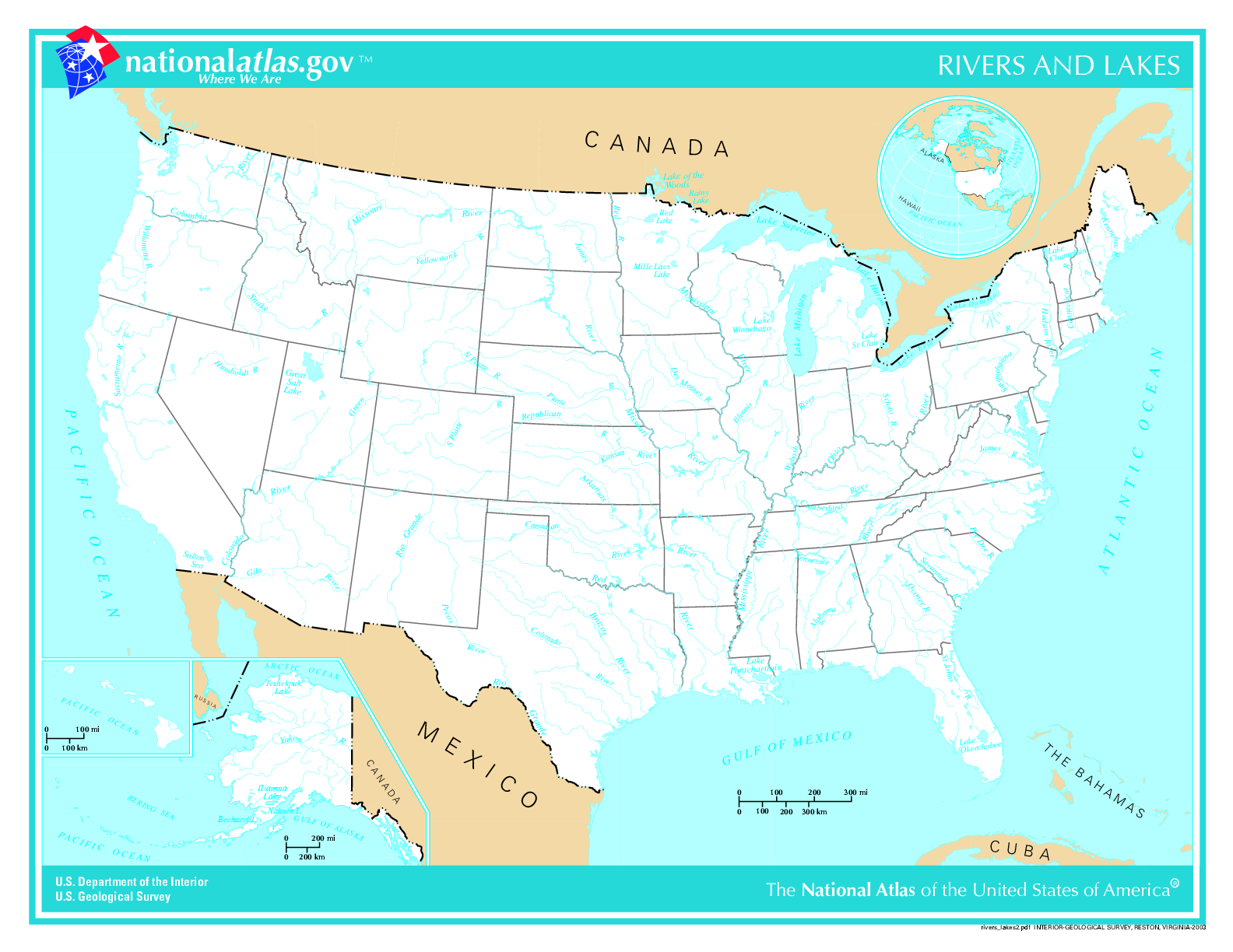
এই প্রাকদর্শনের আকার: ৭৭৬ × ৬০০ পিক্সেল। অন্যান্য আকারসমূহ: ৩১১ × ২৪০ পিক্সেল | ৬২১ × ৪৮০ পিক্সেল | ৯৯৪ × ৭৬৮ পিক্সেল | ১,২৮০ × ৯৮৯ পিক্সেল | ১,৫৮৪ × ১,২২৪ পিক্সেল।
মূল ফাইল (১,৫৮৪ × ১,২২৪ পিক্সেল, ফাইলের আকার: ৩০১ কিলোবাইট, এমআইএমই ধরন: image/png)
 | This map image could be re-created using vector graphics as an SVG file. This has several advantages; see Commons:Media for cleanup for more information. If an SVG form of this image is available, please upload it and afterwards replace this template with {{vector version available|new image name}}.It is recommended to name the SVG file “US map - rivers and lakes.svg”—then the template Vector version available (or Vva) does not need the new image name parameter. |
সারাংশ
.
- Credits
- Author: US Department of Interior
- Source: http://nationalatlas.gov, there also available as PDF
This map was obtained from an edition of the National Atlas of the United States. Like almost all works of the U.S. federal government, works from the National Atlas are in the public domain in the United States. Online access: NationalAtlas.gov | 1970 print edition: Library of Congress, Perry-Castañeda Library
|
List of images provided by user Duesentrieb (This link helps me to find all my images) -- Duesentrieb
ফাইলের ইতিহাস
যেকোনো তারিখ/সময়ে ক্লিক করে দেখুন ফাইলটি তখন কী অবস্থায় ছিল।
| তারিখ/সময় | সংক্ষেপচিত্র | মাত্রা | ব্যবহারকারী | মন্তব্য | |
|---|---|---|---|---|---|
| বর্তমান | ১৫:১১, ১২ নভেম্বর ২০০৪ | | ১,৫৮৪ × ১,২২৪ (৩০১ কিলোবাইট) | Duesentrieb | Rivers and lakes in the US; Dept. of Interior, Public Domain |
ফাইলের ব্যবহার
এই ফাইল ব্যবহার করে এমন কোনো পাতা নেই।
ফাইলের বৈশ্বিক ব্যবহার
নিচের অন্যান্য উইকিগুলো এই ফাইলটি ব্যবহার করে:
- bg.wikipedia.org-এ ব্যবহার
- fr.wikiversity.org-এ ব্যবহার
- ro.wikipedia.org-এ ব্যবহার
- sl.wikipedia.org-এ ব্যবহার
- uk.wikipedia.org-এ ব্যবহার
Explore the world

United states
New York

Japan
Tokyo

Singapore
Singapore
