
 Français
 Italiano
Size of this preview: 800 × 532 pixels. Other resolutions: 320 × 213 pixels | 640 × 426 pixels | 1,024 × 682 pixels | 1,280 × 852 pixels | 2,560 × 1,704 pixels | 4,085 × 2,719 pixels.
Original file (4,085 × 2,719 pixels, file size: 6.06 MB, MIME type: image/jpeg)
This is a file from the Wikimedia Commons and may be used by other projects. Information from its description page there is shown below. Commons is a freely licensed media file repository. |
Summary
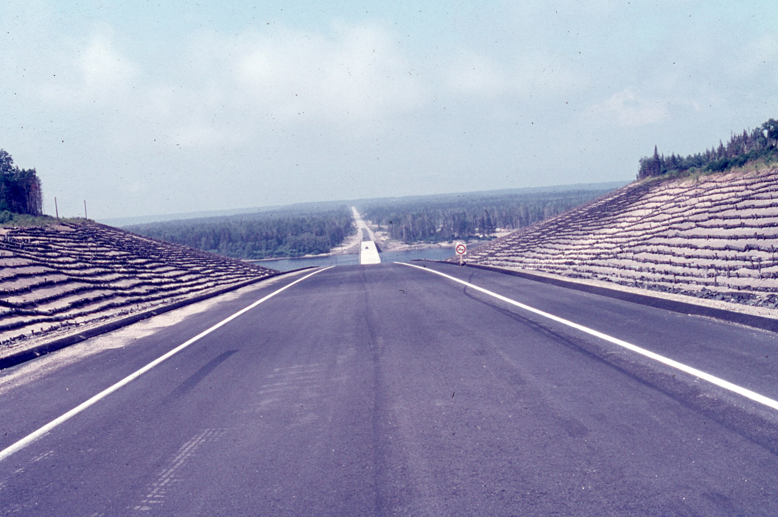
| Description | English: North Shore, Minganie, Route Jacques-Cartier (138 East) Moisie, Sunday, July 18, 1976 Français : Côte-Nord, Minganie, Route Jacques-Cartier (138 Est) Moisie, le dimanche 18 juillet 1976 |
| Date | |
| Source | Own work |
| Author | Nichole Ouellette |
| Camera location | | View this and other nearby images on: OpenStreetMap |
|---|
- More infos/photos, same author: ouellette001.com/
- Québec en photos – Route Jacques-Cartier - 138 Est - route des Baleines – 1976
- Pont Donald-Gallienne enjambant la rivière Moisie
- Enseigne de restaurant 1976
- 138 Est Fin
- Rivière Romaine du pont de la route des Baleines
Licensing
I, the copyright holder of this work, hereby publish it under the following license:
This file is licensed under the Creative Commons Attribution 4.0 International license.
- You are free:
- to share – to copy, distribute and transmit the work
- to remix – to adapt the work
- Under the following conditions:
- attribution – You must give appropriate credit, provide a link to the license, and indicate if changes were made. You may do so in any reasonable manner, but not in any way that suggests the licensor endorses you or your use.
File history
Click on a date/time to view the file as it appeared at that time.
| Date/Time | Thumbnail | Dimensions | User | Comment | |
|---|---|---|---|---|---|
| current | 17:55, 20 January 2024 | | 4,085 × 2,719 (6.06 MB) | Nichole Ouellette | Uploaded own work with UploadWizard |
File usage
There are no pages that use this file.
Global file usage
The following other wikis use this file:
- Usage on en.wikipedia.org
- Usage on fr.wikipedia.org
Metadata
Explore the world

United states
New York

Japan
Tokyo

Singapore
Singapore
