
 Français
 Italiano
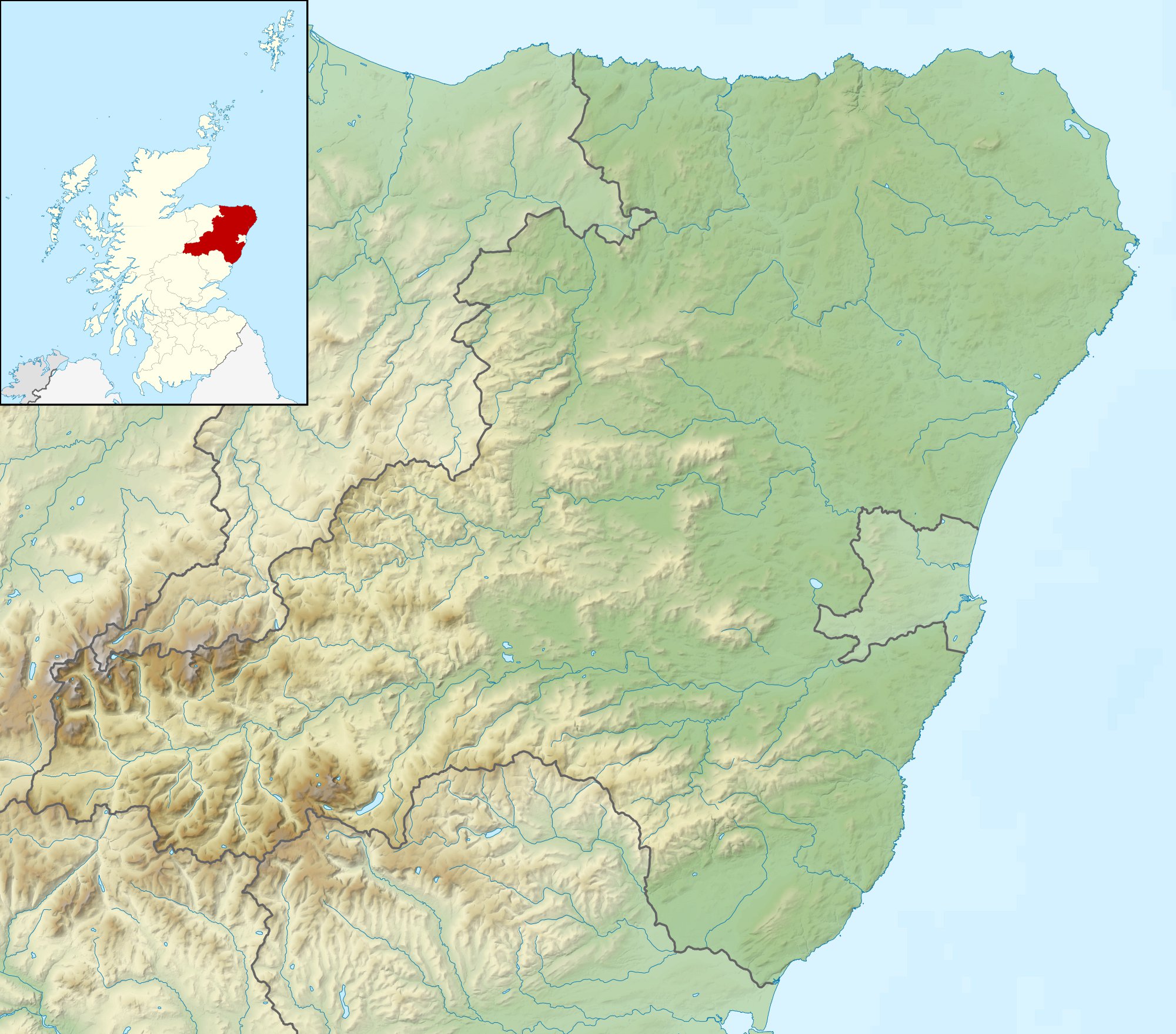
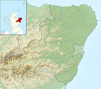
Size of this preview: 682 × 599 pixels. Other resolutions: 273 × 240 pixels | 546 × 480 pixels | 874 × 768 pixels | 1,165 × 1,024 pixels | 2,000 × 1,758 pixels.
Original file (2,000 × 1,758 pixels, file size: 519 KB, MIME type: image/jpeg)
This is a file from the Wikimedia Commons and may be used by other projects. Information from its description page there is shown below. Commons is a freely licensed media file repository. |
| Description | Relief map of Aberdeenshire, UK. Equirectangular map projection on WGS 84 datum, with N/S stretched 180% Geographic limits:
|
| Date | |
| Source |
|
| Author | Nilfanion, created using Ordnance Survey data |
| Permission (Reusing this file) | This file is licensed under the Creative Commons Attribution-Share Alike 3.0 Unported license. Attribution: Contains Ordnance Survey data © Crown copyright and database right
|
| Other versions | File:Aberdeenshire UK blank map.svg - Blank map |
File history
Click on a date/time to view the file as it appeared at that time.
| Date/Time | Thumbnail | Dimensions | User | Comment | |
|---|---|---|---|---|---|
| current | 12:14, 30 November 2011 | | 2,000 × 1,758 (519 KB) | Nilfanion | {{Information |Description=Relief map of Aberdeenshire, UK. Equirectangular map projection on WGS 84 datum, with N/S stretched 180% Geographic limits: *West: 3.85W *East: 1.70W *North: 57.75N *South: 56.70N |Source=[[w:Ordnance Surve |
File usage
There are no pages that use this file.
Global file usage
The following other wikis use this file:
- Usage on ar.wikipedia.org
- Usage on ba.wikipedia.org
- Usage on bg.wikipedia.org
- Usage on ceb.wikipedia.org
- Usage on cs.wikipedia.org
- Usage on de.wikipedia.org
- Bennachie (Berg)
- Dunnottar Castle
- Kildrummy Castle
- Ben Macdui
- Craigievar Castle
- Findlater Castle
- Braeriach
- Cairn Toul
- Sgòr an Lochain Uaine
- Vorlage:Positionskarte Schottland Aberdeenshire
- Abergeldie Castle
- Lochnagar
- The Devil’s Point
- Mount Keen
- Fetteresso Castle
- Balquhain Castle
- New Slains Castle
- Old Slains Castle
- Huntly Castle
- Drum Castle
- Tolquhon Castle
- Glenbuchat Castle
- Kindrochit Castle
- Ben Avon (Berg)
- Fyvie Castle
- Loch Muick
- Crathes Castle
- Castle of Rattray
- Ellon Castle
- Esslemont Castle
- Fedderate Castle
- Fordyce Castle
- Gight Castle
- Hallforest Castle
- House of Schivas
- Inverallochy Castle
- Inchdrewer Castle
- Inverugie Castle
- Kinnairdy Castle
- Kinnaird Castle (Aberdeenshire)
View more global usage of this file.
Explore the world

United states
New York

Japan
Tokyo

Singapore
Singapore
