Size of this PNG preview of this SVG file: 601 × 301 pixels. Other resolutions: 320 × 160 pixels | 640 × 321 pixels | 1,024 × 513 pixels | 1,280 × 641 pixels | 2,560 × 1,282 pixels.
Original file (SVG file, nominally 601 × 301 pixels, file size: 4 KB)
File history
Click on a date/time to view the file as it appeared at that time.
| Date/Time | Thumbnail | Dimensions | User | Comment | |
|---|---|---|---|---|---|
| current | 20:23, 28 February 2007 |  | 601 × 301 (4 KB) | Ltljltlj | |
| 06:12, 15 August 2006 |  | 601 × 301 (4 KB) | Ltljltlj | Fixed outside borders | |
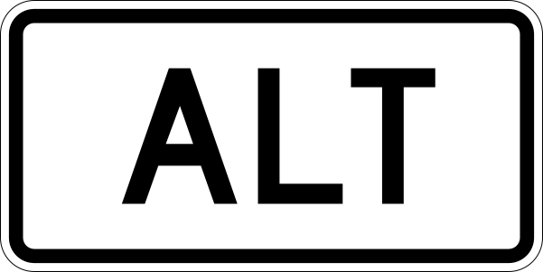
| 18:23, 21 March 2006 |  | 601 × 301 (2 KB) | SPUI~commonswiki | {{spuiother}} 600 mm by 300 mm (24 in by 12 in) alt plate, made to the specifications of the [http://mutcd.fhwa.dot.gov/SHSm/Guide.pdf 2004 edition of Standard Highway Signs] (sign M4-1a). Uses the [http://www.triskele.com/fonts/index.html Roadgeek 2005 f |
File usage
There are no pages that use this file.
Global file usage
The following other wikis use this file:
- Usage on ar.wikipedia.org
- Usage on bn.wikipedia.org
- Usage on en.wikipedia.org
- Frederick County, Maryland
- Prince George's County, Maryland
- Garrett County, Maryland
- Baltimore County, Maryland
- Allegany County, Maryland
- U.S. Route 101
- Dixie County, Florida
- Duval County, Florida
- Escambia County, Florida
- Gilchrist County, Florida
- Levy County, Florida
- Pasco County, Florida
- Pinellas County, Florida
- Taylor County, Florida
- Churchill County, Nevada
- Interstate 68
- Brooke County, West Virginia
- Spartanburg County, South Carolina
- Hampton County, South Carolina
- Georgetown County, South Carolina
- Dorchester County, South Carolina
- Colleton County, South Carolina
- Cherokee County, South Carolina
- Berkeley County, South Carolina
- Beaufort County, South Carolina
- White Pine County, Nevada
- Washoe County, Nevada
- Mineral County, Nevada
- Lyon County, Nevada
- Elko County, Nevada
- Coweta County, Georgia
- Williston, Florida
- Perry, Florida
- Seguin, Texas
- U.S. Route 93
- U.S. Route 400
- Dames Point Bridge
- U.S. Route 281
- Suwannee River
- U.S. Route 166
- U.S. Route 21
- K-66 (Kansas highway)
- U.S. Route 15
- U.S. Route 42
- U.S. Route 92
- U.S. Route 601
View more global usage of this file.


 Français
 Italiano


