
 Français
 Italiano
Size of this PNG preview of this SVG file: 607 × 599 pixels. Other resolutions: 243 × 240 pixels | 486 × 480 pixels | 778 × 768 pixels | 1,037 × 1,024 pixels | 2,074 × 2,048 pixels | 889 × 878 pixels.
Original file (SVG file, nominally 889 × 878 pixels, file size: 397 KB)
This is a file from the Wikimedia Commons and may be used by other projects. Information from its description page there is shown below. Commons is a freely licensed media file repository. |
Summary
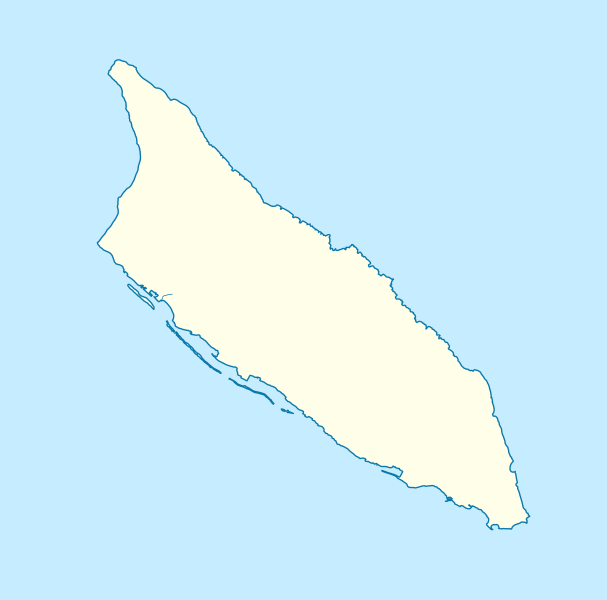
| Description | Deutsch: Positionskarte von Aruba Mercator-Projektion. Geographische Begrenzung der Karte:
English: Location map of Aruba Mercator projection. Geographic limits of the map:
|
| Date | |
| Source | Own work, using
|
| Author | Carport |
| Other versions |
|
| SVG development |


.svg)
Licensing
This file is licensed under the Creative Commons Attribution-Share Alike 3.0 Unported license.
- You are free:
- to share – to copy, distribute and transmit the work
- to remix – to adapt the work
- Under the following conditions:
- attribution – You must give appropriate credit, provide a link to the license, and indicate if changes were made. You may do so in any reasonable manner, but not in any way that suggests the licensor endorses you or your use.
- share alike – If you remix, transform, or build upon the material, you must distribute your contributions under the same or compatible license as the original.
File history
Click on a date/time to view the file as it appeared at that time.
| Date/Time | Thumbnail | Dimensions | User | Comment | |
|---|---|---|---|---|---|
| current | 14:33, 30 November 2012 | | 889 × 878 (397 KB) | Carport | {{Information |Description={{de|1=Positionskarte von {{w|Aruba|3=de}} {{w|Mercator-Projektion|3=de}}. Geographische Begrenzung der Karte: * N: 12.65° N * S: 12.38° N * W: 70.11° W * O: 69.83° W}} {{en|1=Location map of {{w|Aruba}} Mercator projec... |
File usage
There are no pages that use this file.
Global file usage
The following other wikis use this file:
- Usage on an.wikipedia.org
- Usage on ar.wikipedia.org
- Usage on ast.wikipedia.org
- Usage on az.wikipedia.org
- Usage on be-tarask.wikipedia.org
- Usage on bg.wikipedia.org
- Usage on bn.wikipedia.org
- Usage on bs.wikipedia.org
- Usage on ceb.wikipedia.org
- Plantilya:Location map Aruba
- Santa Lucia
- San Nicolas
- Punta Colorado
- Ceru Pretu
- Oranjestad
- Westpunt
- Ceru Grandi
- Seroe Grandi
- Warawara
- Spaans Lagoen
- Sero Preto
- Pos Chikitu
- Noordkaap
- Lagoen
- Druif
- California (pagklaro)
- Aruba (pagklaro)
- Warawara (bukid)
- Ceru Urataca
- Turibana
- Sero Tres Cabés
- Sero Tijshi
- Rooi Thomas
- Rooi Tambú
- Rooi Taki
- Sero Sumpiña
- Sumpiña
- Rooi Spoki
- Spaans Lagoen (lanaw)
- Spaans Lagoen (luuk)
- Smal
- Sint Nicolaasbaai
- Sint Nicolaas
- Rooi Santo
- Santa Lucia (bukid)
- Tanki Sabana Grandi
View more global usage of this file.
.svg)
Metadata
.svg)
Explore the world

United states
New York

Japan
Tokyo

Singapore
Singapore
