
 Français
 Italiano
Size of this preview: 594 × 600 pixels. Other resolutions: 238 × 240 pixels | 476 × 480 pixels | 750 × 757 pixels.
Original file (750 × 757 pixels, file size: 199 KB, MIME type: image/jpeg)
This is a file from the Wikimedia Commons and may be used by other projects. Information from its description page there is shown below. Commons is a freely licensed media file repository. |
Summary
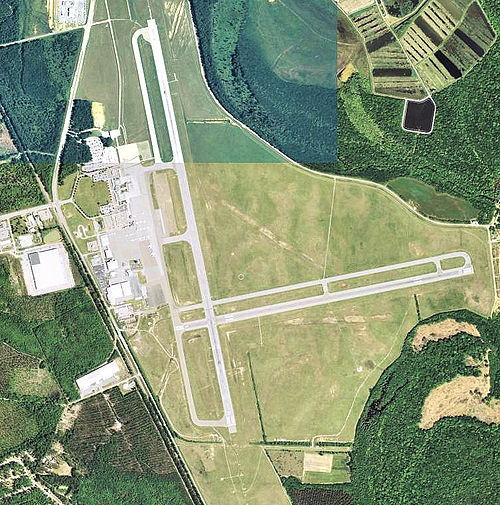
| Description | English: Augusta Regional Airport - Georgia |
| Date | |
| Source | http://www.topoquest.com/map.php?lat=33.37000&lon=-81.96444&datum=nad83&zoom=4&map=sat1m&coord=d&mode=zoomin&size=l |
| Author | US Geological Survey |
| Permission (Reusing this file) | USGOV-PD |
Licensing
This image is in the public domain in the United States because it only contains materials that originally came from the United States Geological Survey, an agency of the United States Department of the Interior. For more information, see the official USGS copyright policy.
|
File history
Click on a date/time to view the file as it appeared at that time.
| Date/Time | Thumbnail | Dimensions | User | Comment | |
|---|---|---|---|---|---|
| current | 14:41, 16 July 2012 | | 750 × 757 (199 KB) | Bwmoll3 | {{Information |Description ={{en|1=Augusta Regional Airport - Georgia}} |Source =http://www.topoquest.com/map.php?lat=33.37000&lon=-81.96444&datum=nad83&zoom=4&map=sat1m&coord=d&mode=zoomin&size=l |Author =US Geological Survey |Date ... |
File usage
The following page uses this file:
Global file usage
The following other wikis use this file:
- Usage on arz.wikipedia.org
- Usage on ca.wikipedia.org
- Usage on ceb.wikipedia.org
- Usage on da.wikipedia.org
- Usage on de.wikipedia.org
- Usage on de.wikivoyage.org
- Usage on en.wikipedia.org
- Usage on nv.wikipedia.org
- Usage on ro.wikipedia.org
- Usage on ur.wikipedia.org
- Usage on www.wikidata.org
Explore the world

United states
New York

Japan
Tokyo

Singapore
Singapore
