
 Français
 Italiano
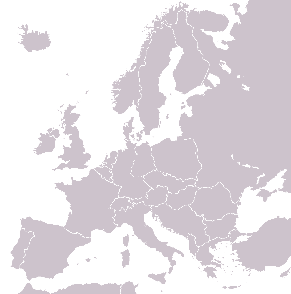
Size of this preview: 595 × 599 pixels. Other resolutions: 238 × 240 pixels | 477 × 480 pixels | 762 × 768 pixels | 1,236 × 1,245 pixels.
Original file (1,236 × 1,245 pixels, file size: 74 KB, MIME type: image/png)
This is a file from the Wikimedia Commons and may be used by other projects. Information from its description page there is shown below. Commons is a freely licensed media file repository. |
Summary
| Description | Blank map of Europe as of 31 December 1989 |
| Date | |
| Source | adapted from Image:BlankEurope.png; FRG/GDR border is from Image:NATO expansion.png. |
| Author | made by Hoshie. |
| Permission (Reusing this file) |
|
| Other versions | Derivative works of this file: |
Licensing
 | Permission is granted to copy, distribute and/or modify this document under the terms of the GNU Free Documentation License, Version 1.2 or any later version published by the Free Software Foundation; with no Invariant Sections, no Front-Cover Texts, and no Back-Cover Texts. A copy of the license is included in the section entitled GNU Free Documentation License. |
| This file is licensed under the Creative Commons Attribution-Share Alike 3.0 Unported license. | ||
| ||
| This licensing tag was added to this file as part of the GFDL licensing update. |
File history
Click on a date/time to view the file as it appeared at that time.
| Date/Time | Thumbnail | Dimensions | User | Comment | |
|---|---|---|---|---|---|
| current | 02:51, 12 April 2008 | | 1,236 × 1,245 (74 KB) | Hoshie | {{Information |Description=Blank map of Europe as of 31 December 1989 |Source=adapted from Image:BlankEurope.png; FRG/GDR border is from Image:NATO expansion.png. |Date=11 April 2008 |Author=made by ~~~. |Permission=; under GFDL since the origin |
File usage
There are no pages that use this file.
Global file usage
The following other wikis use this file:
- Usage on fr.wikipedia.org
Explore the world

United states
New York

Japan
Tokyo

Singapore
Singapore
