
 Français
 Italiano
Size of this PNG preview of this SVG file: 472 × 471 pixels. Other resolutions: 241 × 240 pixels | 481 × 480 pixels | 770 × 768 pixels | 1,026 × 1,024 pixels | 2,052 × 2,048 pixels.
Original file (SVG file, nominally 472 × 471 pixels, file size: 13 KB)
This is a file from the Wikimedia Commons and may be used by other projects. Information from its description page there is shown below. Commons is a freely licensed media file repository. |
Summary
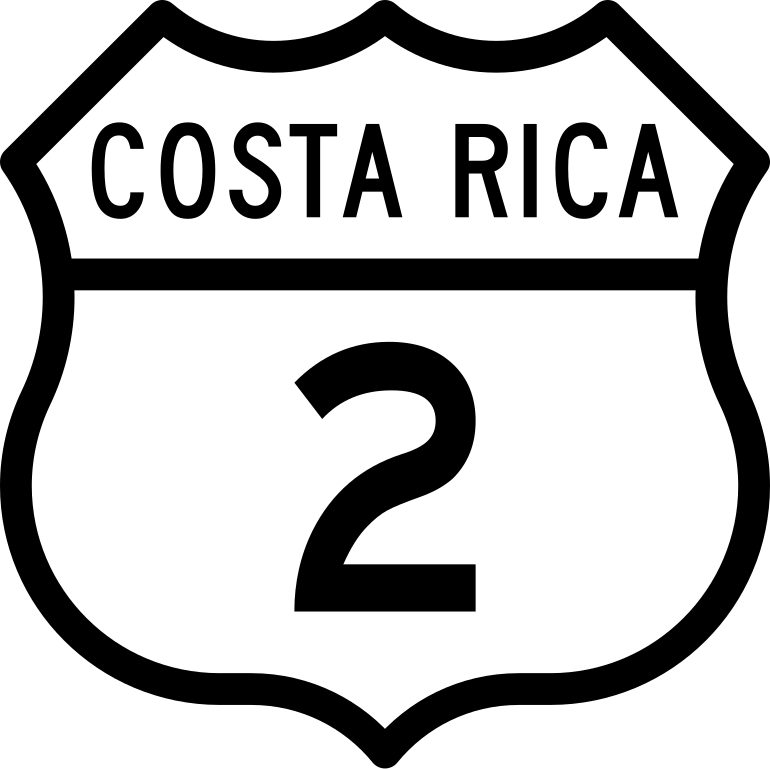
| Description | English: Costa Rica Red Nacional Primaria 2 |
| Date | |
| Source | Own work |
| Author | Rquesada |
Licensing
I, the copyright holder of this work, hereby publish it under the following license:
This file is licensed under the Creative Commons Attribution-Share Alike 4.0 International license.
- You are free:
- to share – to copy, distribute and transmit the work
- to remix – to adapt the work
- Under the following conditions:
- attribution – You must give appropriate credit, provide a link to the license, and indicate if changes were made. You may do so in any reasonable manner, but not in any way that suggests the licensor endorses you or your use.
- share alike – If you remix, transform, or build upon the material, you must distribute your contributions under the same or compatible license as the original.
File history
Click on a date/time to view the file as it appeared at that time.
| Date/Time | Thumbnail | Dimensions | User | Comment | |
|---|---|---|---|---|---|
| current | 21:46, 13 September 2019 | | 472 × 471 (13 KB) | RoboQwezt0x7CB | added more appropriate fonts for the road shield |
| 02:24, 11 August 2014 |  | 92 × 92 (3 KB) | RosQTor | librsvg fix | |
| 00:26, 11 August 2014 |  | 92 × 92 (5 KB) | RosQTor | User created page with UploadWizard |
File usage
The following page uses this file:
Global file usage
The following other wikis use this file:
- Usage on de.wikivoyage.org
- Usage on en.wikipedia.org
- San José, Costa Rica
- List of highways numbered 2
- Orosi, Cartago
- Curridabat
- Buenos Aires (canton)
- Montes de Oca (canton)
- San Pedro, Costa Rica
- Cartago (canton)
- Paraíso (canton)
- La Unión (canton)
- El Guarco (canton)
- Pérez Zeledón (canton)
- Curridabat (canton)
- Dota (canton)
- Osa (canton)
- Golfito (canton)
- Corredores (canton)
- El Tejar de El Guarco
- Hospital (district)
- Catedral (district)
- Long Way Up
- Tres Ríos, Cartago
- San Isidro de El General
- Buenos Aires, Costa Rica
- Copey District
- Sánchez District
- Daniel Flores District
- Rivas District
- San Pedro District, Pérez Zeledón
- Cajón District
- Páramo District
- San Nicolás District, Cartago
- Aguacaliente
- Guadalupe District, Cartago
- Dulce Nombre District, Cartago
- San Diego District
- San Juan District, La Unión
- San Rafael District, La Unión
- San Isidro District, El Guarco
- Volcán District
- Potrero Grande District
- Boruca District
- Brunka District
- Palmar District
- Piedras Blancas District
- Guaycará
- Corredor District
- Canoas District
- National Route 39 (Costa Rica)
View more global usage of this file.
Metadata
Explore the world

United states
New York

Japan
Tokyo

Singapore
Singapore
