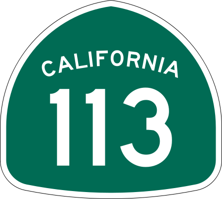
Size of this PNG preview of this SVG file: 449 × 401 pixels. Other resolutions: 269 × 240 pixels | 538 × 480 pixels | 860 × 768 pixels | 1,147 × 1,024 pixels | 2,293 × 2,048 pixels.
Original file (SVG file, nominally 449 × 401 pixels, file size: 12 KB)
File history
Click on a date/time to view the file as it appeared at that time.
| Date/Time | Thumbnail | Dimensions | User | Comment | |
|---|---|---|---|---|---|
| current | 18:06, 20 March 2006 |  | 449 × 401 (12 KB) | SPUI~commonswiki | {{spuiother}} 28 in by 25 in California State Route shield, made to the specifications of the [http://www.dot.ca.gov/hq/traffops/signtech/signdel/specs/G28-2.pdf 1971 Caltrans sign drawing] (still in use). Uses the [http://www.triskele.com/fonts/index.htm |
File usage
The following 4 pages use this file:
Global file usage
The following other wikis use this file:
- Usage on da.wikipedia.org
- Usage on de.wikipedia.org
- Usage on en.wikipedia.org
- Sacramento River
- Yolo County, California
- Solano County, California
- Sutter County, California
- Northern California
- California State Route 99
- California State Route 113
- List of highways numbered 113
- California State Route 61
- California State Route 12
- Wikipedia:WikiProject U.S. Roads/Redirects/California
- California State Route 114
- California State Route 45
- Interstate 80 in California
- Interstate 5 in California
- List of state highways in California
- Sacramento metropolitan area
- Business routes of Interstate 5
- List of crossings of the Sacramento River
- User:Shannon1/Sandbox
- California county routes in zone E
- Template:Sacramento River map
- User:Tv's emory/Sandbox/List of state highways in California
- User:LineBoyd/Sandbox/List of state highways in California
- Usage on es.wikipedia.org
- Usage on fr.wikipedia.org
- Usage on it.wikipedia.org
- Usage on ja.wikipedia.org
View more global usage of this file.


 Français
 Italiano


