
 Français
 Italiano
Size of this PNG preview of this SVG file: 800 × 581 pixels. Other resolutions: 320 × 232 pixels | 640 × 465 pixels | 1,024 × 743 pixels | 1,280 × 929 pixels | 2,560 × 1,858 pixels | 1,561 × 1,133 pixels.
Original file (SVG file, nominally 1,561 × 1,133 pixels, file size: 210 KB)
This is a file from the Wikimedia Commons and may be used by other projects. Information from its description page there is shown below. Commons is a freely licensed media file repository. |
Summary
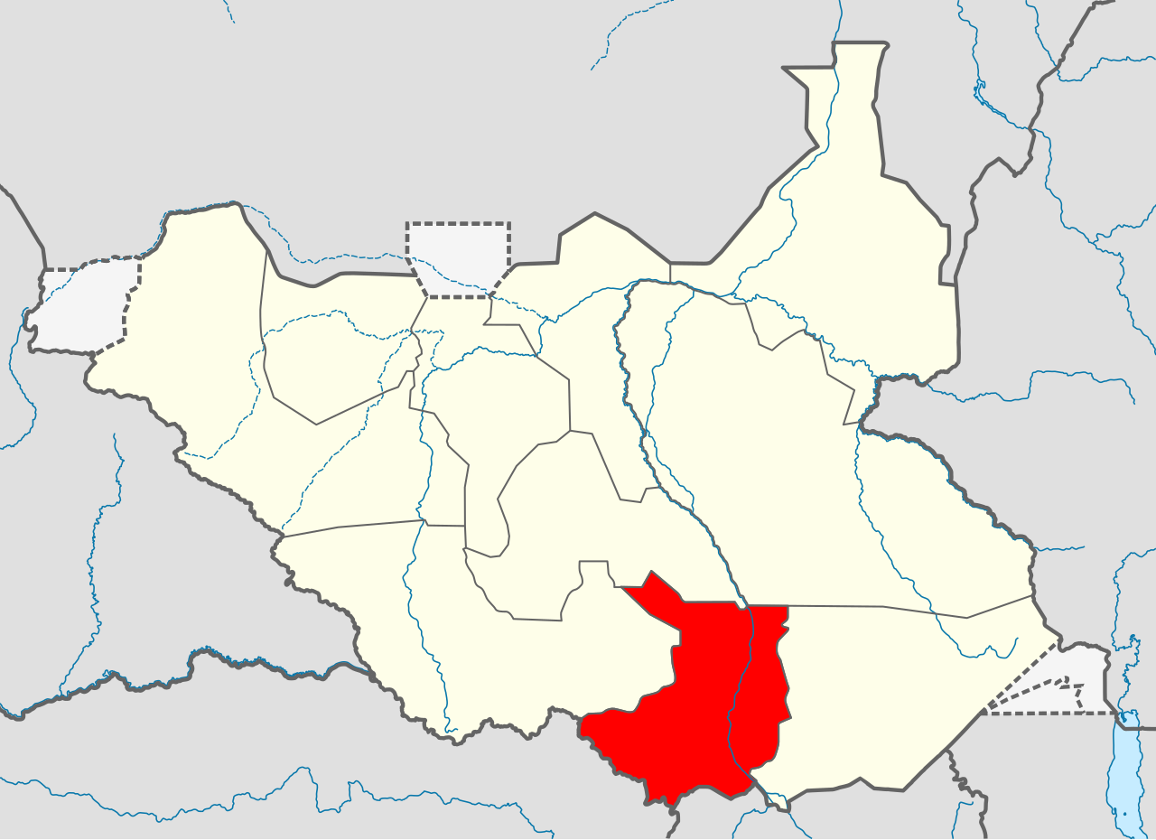
| Description | Српски / srpski: Мапа Централне Екваторије
| ||||||
| Date | |||||||
| Source | Own work | ||||||
| Author | Ivan25 | ||||||
Licensing
I, the copyright holder of this work, hereby publish it under the following license:
This file is licensed under the Creative Commons Attribution-Share Alike 3.0 Unported license.
- You are free:
- to share – to copy, distribute and transmit the work
- to remix – to adapt the work
- Under the following conditions:
- attribution – You must give appropriate credit, provide a link to the license, and indicate if changes were made. You may do so in any reasonable manner, but not in any way that suggests the licensor endorses you or your use.
- share alike – If you remix, transform, or build upon the material, you must distribute your contributions under the same or compatible license as the original.
File history
Click on a date/time to view the file as it appeared at that time.
| Date/Time | Thumbnail | Dimensions | User | Comment | |
|---|---|---|---|---|---|
| current | 17:27, 18 August 2011 | | 1,561 × 1,133 (210 KB) | Spesh531 | update |
| 04:09, 9 July 2011 |  | 1,500 × 1,133 (244 KB) | B1mbo | New version based in File:South Sudan location map.svg | |
| 13:55, 16 June 2011 |  | 422 × 315 (20 KB) | Ivan25 |
File usage
There are no pages that use this file.
Global file usage
The following other wikis use this file:
- Usage on ab.wikipedia.org
- Usage on ar.wikipedia.org
- Usage on bg.wikipedia.org
- Usage on ca.wikipedia.org
- Usage on el.wikipedia.org
- Usage on en.wikipedia.org
- Gondokoro
- Central Equatoria
- Rokon, South Sudan
- Juba
- Kaya, South Sudan
- Dimo, South Sudan
- Kajo Keji
- University of Juba
- Lainya County
- Kajo Keji Airstrip
- Yei Airport
- Juba Stadium
- Demographics of South Sudan
- Lado, South Sudan
- Rejaf
- St. Mary's University in Juba
- Catholic University of South Sudan
- The Bridge University
- Bandingilo National Park
- Juba County
- Mongalla, South Sudan
- Terekeka County
- Terekeka
- Template:Central Equatoria
- Juba International Airport
- Morobo County
- Yei River County
- Kajo Keji County
- Usage on eo.wikipedia.org
- Usage on fi.wikipedia.org
- Usage on fr.wikipedia.org
View more global usage of this file.
Explore the world

United states
New York

Japan
Tokyo

Singapore
Singapore
