
 Français
 Italiano
Size of this PNG preview of this SVG file: 492 × 600 pixels. Other resolutions: 197 × 240 pixels | 394 × 480 pixels | 630 × 768 pixels | 840 × 1,024 pixels | 1,680 × 2,048 pixels | 1,726 × 2,104 pixels.
Original file (SVG file, nominally 1,726 × 2,104 pixels, file size: 4.32 MB)
This is a file from the Wikimedia Commons and may be used by other projects. Information from its description page there is shown below. Commons is a freely licensed media file repository. |
united state of America
Summary
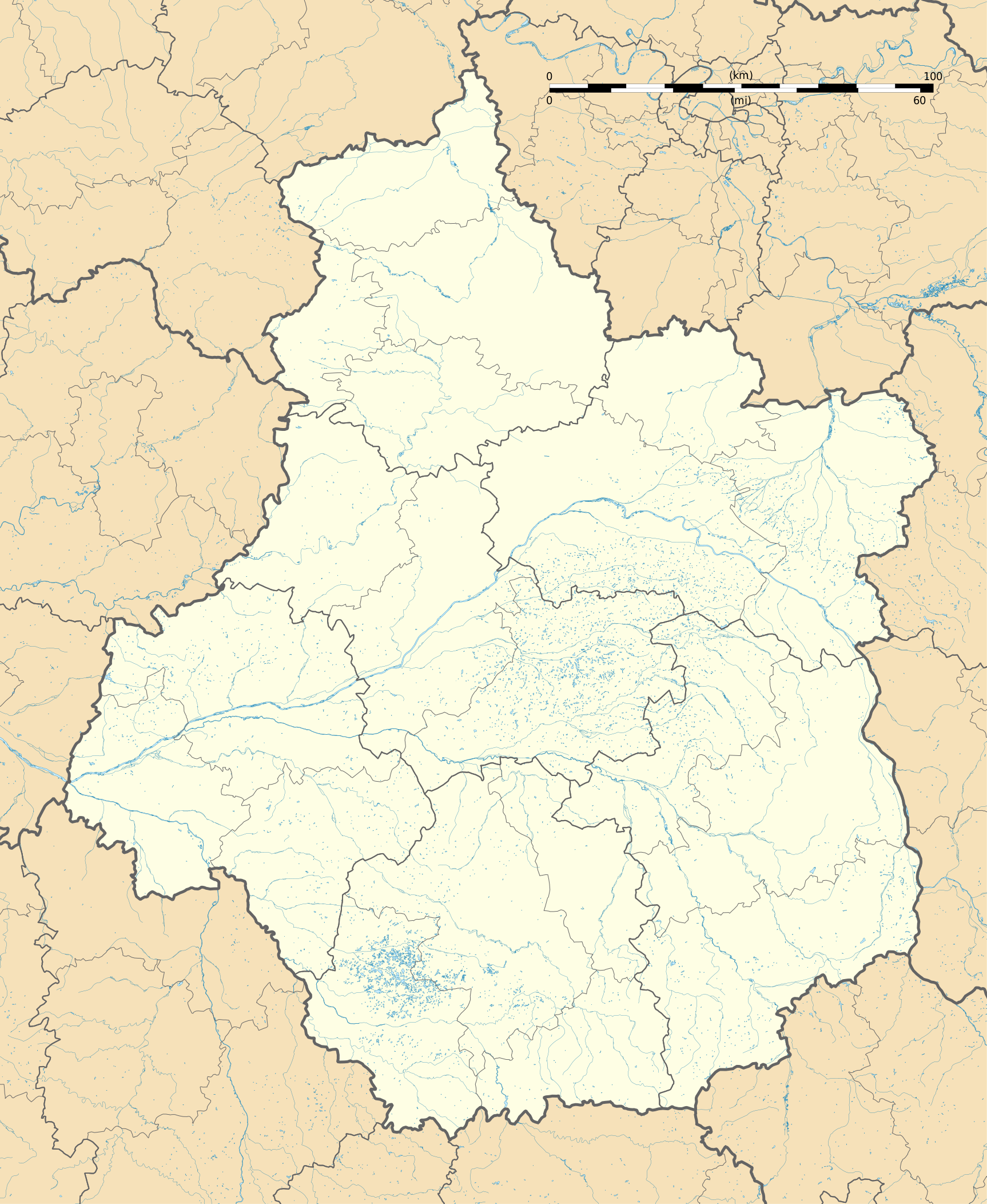
| Description | Français : Carte administrative vierge de la région Centre-Val de Loire, France, destinée à la géolocalisation. Projection "Géoportail" (projection équirectangulaire à la latitude de référence 46.5° Nord)
|
| Date | |
| Source | Own work
|
| Author | Flappiefh |
| Other versions |
|
| SVG development |

Licensing
I, the copyright holder of this work, hereby publish it under the following license:
This file is licensed under the Creative Commons Attribution-Share Alike 4.0 International license.
- You are free:
- to share – to copy, distribute and transmit the work
- to remix – to adapt the work
- Under the following conditions:
- attribution – You must give appropriate credit, provide a link to the license, and indicate if changes were made. You may do so in any reasonable manner, but not in any way that suggests the licensor endorses you or your use.
- share alike – If you remix, transform, or build upon the material, you must distribute your contributions under the same or compatible license as the original.
File history
Click on a date/time to view the file as it appeared at that time.
| Date/Time | Thumbnail | Dimensions | User | Comment | |
|---|---|---|---|---|---|
| current | 16:57, 13 October 2015 | | 1,726 × 2,104 (4.32 MB) | Flappiefh | User created page with UploadWizard |
File usage
There are no pages that use this file.
Global file usage
The following other wikis use this file:
- Usage on als.wikipedia.org
- Usage on azb.wikipedia.org
- Usage on bn.wikipedia.org
- Usage on de.wikipedia.org
- Wikipedia:Kartenwerkstatt/Positionskarten/Europa
- Flughafen Tours
- Flughafen Châteauroux
- Stade de la Vallée du Cher
- Stade Gaston Petit
- Stade Jules-Ladoumègue
- Pont Jacques Gabriel
- Militärflugplatz Avord
- Militärflugplatz Châteaudun
- Flugplatz Dreux-Vernouillet
- Flugplatz Bourges
- Flugplatz Chartres-Champhol
- Flugplatz Romorantin-Pruniers
- Vorlage:Positionskarte Frankreich Centre-Val de Loire
- Pont Wilson (Tours)
- Usage on el.wikipedia.org
- Usage on en.wikipedia.org
- Tours
- Chinon
- Chenonceaux
- Orléans
- Bourges
- Blois
- Chartres
- Montrichard
- Malesherbes, Loiret
- Vendôme
- Amboise
- Valençay
- Saint-Brisson-sur-Loire
- Azay-le-Rideau
- Beaulieu-sur-Loire
- La Chapelle-Saint-Sépulcre
- Courtenay, Loiret
- Saint-Aignan-le-Jaillard
- Dreux
- Patay, Loiret
- Châteauroux
- Nohant-Vic
- La Chapelle-d'Angillon
View more global usage of this file.
Metadata
Explore the world

United states
New York

Japan
Tokyo

Singapore
Singapore
