
 Français
 Italiano
Size of this PNG preview of this SVG file: 448 × 599 pixels. Other resolutions: 179 × 240 pixels | 359 × 480 pixels | 574 × 768 pixels | 765 × 1,024 pixels | 1,531 × 2,048 pixels | 850 × 1,137 pixels.
Original file (SVG file, nominally 850 × 1,137 pixels, file size: 733 KB)
This is a file from the Wikimedia Commons and may be used by other projects. Information from its description page there is shown below. Commons is a freely licensed media file repository. |
Summary
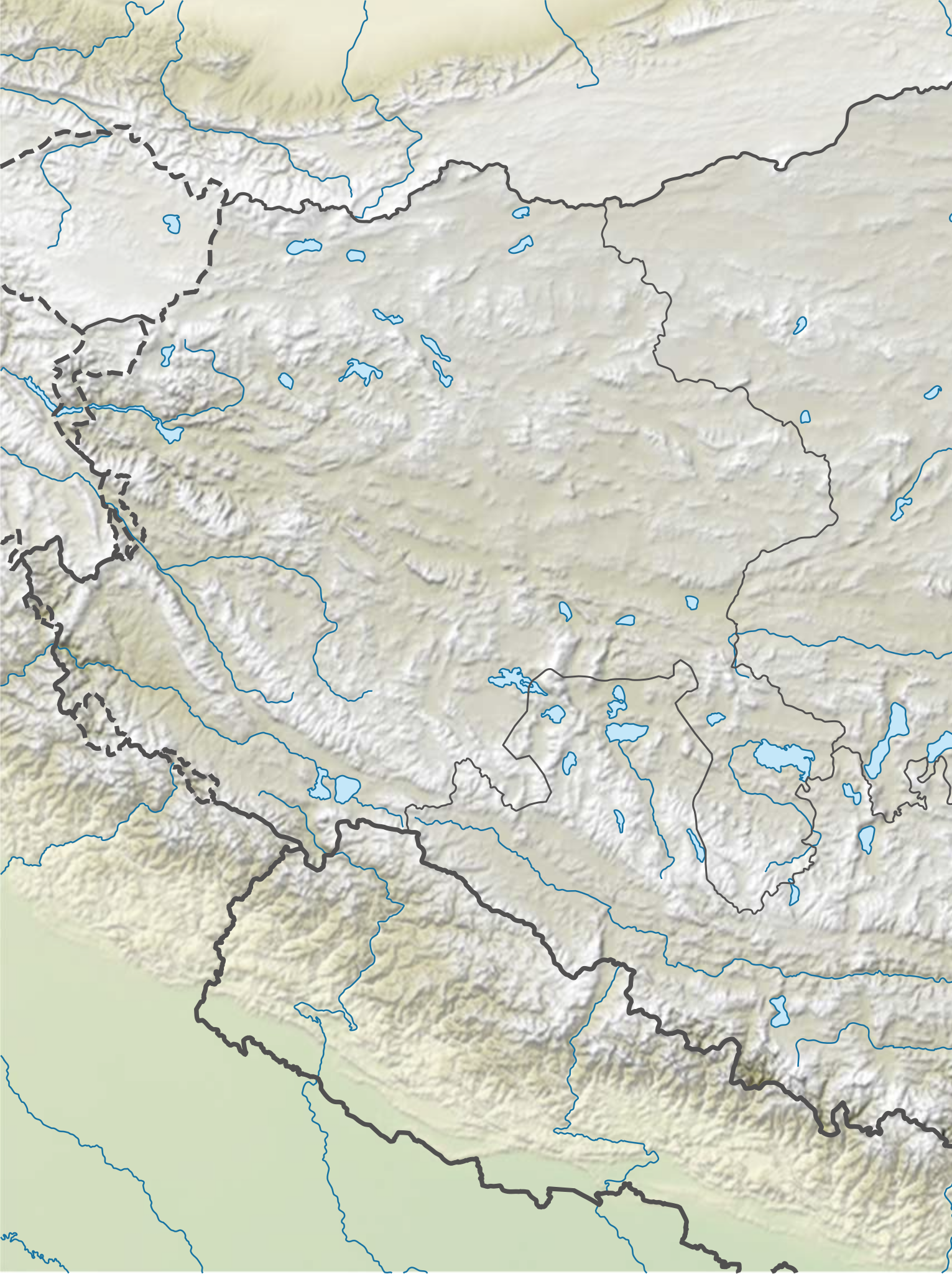
| Description | 中文:中国西藏西部, 阿里地區地势图 N-S stretching 118% in SVG file. Geographic limits of the map:
English: Location map of the China Tibet Western, Ngari relief N-S stretching 118% in SVG file. Geographic limits of the map:
|
| Date | |
| Source | Own work |
| Author | LuciferAhriman |
Licensing
I, the copyright holder of this work, hereby publish it under the following license:
This file is licensed under the Creative Commons Attribution-Share Alike 4.0 International license.
- You are free:
- to share – to copy, distribute and transmit the work
- to remix – to adapt the work
- Under the following conditions:
- attribution – You must give appropriate credit, provide a link to the license, and indicate if changes were made. You may do so in any reasonable manner, but not in any way that suggests the licensor endorses you or your use.
- share alike – If you remix, transform, or build upon the material, you must distribute your contributions under the same or compatible license as the original.
File history
Click on a date/time to view the file as it appeared at that time.
| Date/Time | Thumbnail | Dimensions | User | Comment | |
|---|---|---|---|---|---|
| current | 15:30, 12 June 2022 | | 850 × 1,137 (733 KB) | LuciferAhriman | Uploaded own work with UploadWizard |
File usage
There are no pages that use this file.
Global file usage
The following other wikis use this file:
- Usage on en.wikipedia.org
- Mount Kailash
- Lake Manasarovar
- Pangong Tso
- Lake Pelku
- Semo La
- Cherko la
- Lumajangdong Co
- Garxincun
- Sogmai
- Tsaparang
- Orba Co
- Jiesa Lake
- Dajia Lake
- Dawa Lake
- Taruo Lake
- Renqingxiubu Lake
- Ang Laren Lake
- Bangda Lake
- Longmu Lake
- Nyer Tso
- Tong Tso
- Spanggur Gap
- Spanggur Tso
- Mayum La
- Reo Purgyil
- Korala
- Hongshan Lake
- Rachama
- Module:Location map/data/China Tibet Ngari
- Module:Location map/data/China Tibet Ngari/doc
- Module:Location map/data/China Tibet Ngari relief
- Module:Location map/data/China Tibet Ngari relief/doc
- Usage on fr.wikipedia.org
- Usage on ne.wikipedia.org
- Usage on pa.wikipedia.org
- Usage on si.wikipedia.org
- Usage on te.wikipedia.org
- Usage on uz.wikipedia.org
- Usage on zh.wikipedia.org
View more global usage of this file.
Metadata
Explore the world

United states
New York

Japan
Tokyo

Singapore
Singapore
