
 Français
 Italiano
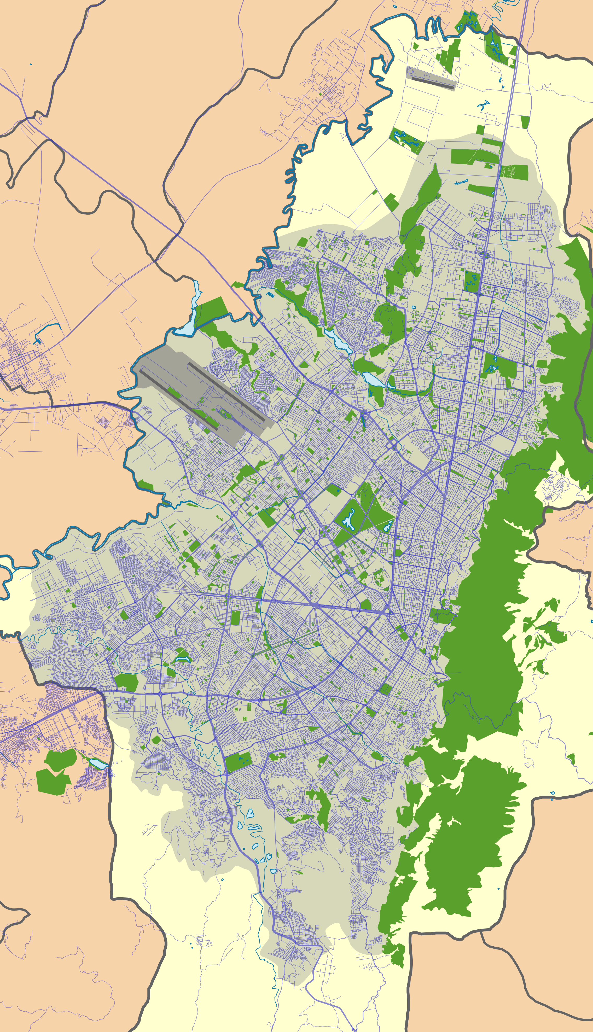
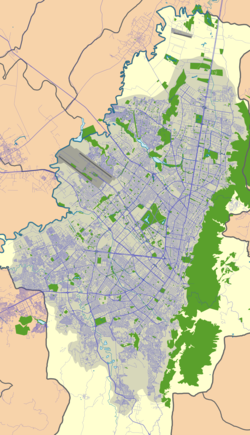
Size of this preview: 344 × 599 pixels. Other resolutions: 138 × 240 pixels | 276 × 480 pixels | 441 × 768 pixels | 588 × 1,024 pixels | 2,270 × 3,951 pixels.
Original file (2,270 × 3,951 pixels, file size: 5.24 MB, MIME type: image/png)
This is a file from the Wikimedia Commons and may be used by other projects. Information from its description page there is shown below. Commons is a freely licensed media file repository. |
Summary
| Description | Español: Mapa localizador de la ciudad de Bogotá, Distrito Capital, Colombia. Equirectangular projection. Geographic limits of the map:
| |||
| Date | ||||
| Source | Own work based on: File:Bogota districts map.svg | |||
| Author | Milenioscuro | |||
| Permission (Reusing this file) | I, the copyright holder of this work, hereby publish it under the following license: This file is licensed under the Creative Commons Attribution-Share Alike 4.0 International license.
|
Licensing
I, the copyright holder of this work, hereby publish it under the following license:
This file is licensed under the Creative Commons Attribution-Share Alike 4.0 International license.
- You are free:
- to share – to copy, distribute and transmit the work
- to remix – to adapt the work
- Under the following conditions:
- attribution – You must give appropriate credit, provide a link to the license, and indicate if changes were made. You may do so in any reasonable manner, but not in any way that suggests the licensor endorses you or your use.
- share alike – If you remix, transform, or build upon the material, you must distribute your contributions under the same or compatible license as the original.
File history
Click on a date/time to view the file as it appeared at that time.
| Date/Time | Thumbnail | Dimensions | User | Comment | |
|---|---|---|---|---|---|
| current | 01:39, 13 August 2015 | | 2,270 × 3,951 (5.24 MB) | Milenioscuro | User created page with UploadWizard |
File usage
There are no pages that use this file.
Global file usage
The following other wikis use this file:
- Usage on ca.wikipedia.org
- Usage on en.wikipedia.org
- Plaza de Bolívar, Bogotá
- El Burro
- Norte-Quito-Sur
- Avenida Caracas
- Autopista Norte
- Avenida Suba
- Rosales, Bogotá
- Guadalupe Hill
- La Salle University, Colombia
- Nicolás de Federmán, Bogotá
- Bogotá savanna
- Monserrate
- Ciudad Salitre
- Ciudad Tunal
- El Cartucho
- El Chicó
- Laches, Bogotá
- Quiroga, Bogotá
- Techo, Bogotá
- Bogotá Museum of Modern Art
- Carrera Séptima
- Module:Location map/data/Colombia Bogotá/doc
- Wetlands of Bogotá
- Capellanía (wetland)
- Córdoba (wetland)
- Jaboque
- La Vaca
- Techo (wetland)
- La Conejera
- Santa María del Lago
- Tibabuyes
- Muisca Confederation
- Marly, Bogotá
- List of Muisca toponyms
- Hotel Tequendama
- Thomas van der Hammen Natural Reserve
- Fucha River
- Tunjuelo River
- Tibanica
- El Salitre (wetland)
- La Isla (wetland)
- Meandro del Say
- La Florida (wetland)
- Guaymaral y Torca
- Arzobispo River
- List of flora and fauna of the Eastern Hills, Bogotá
- Torca River
- Module:Location map/data/Colombia Bogotá
View more global usage of this file.
Metadata
Explore the world

United states
New York

Japan
Tokyo

Singapore
Singapore
