
 Français
 Italiano
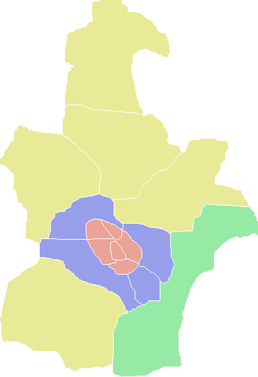
No higher resolution available.
ColorTianjinMap.png (370 × 541 pixels, file size: 7 KB, MIME type: image/png)
This is a file from the Wikimedia Commons and may be used by other projects. Information from its description page there is shown below. Commons is a freely licensed media file repository. |
| Description | A Tianjin Map | ||
| Date | 3.06.2008 | ||
| Source | http://en.wikipedia.org/wiki/File:ColorTianjinMap.png | ||
| Author | User:ASDFGH | ||
| Permission (Reusing this file) | English Wikipedia user ASDFGH, the copyright holder of this work, hereby publishes it under the following license:
|

File history
Click on a date/time to view the file as it appeared at that time.
| Date/Time | Thumbnail | Dimensions | User | Comment | |
|---|---|---|---|---|---|
| current | 20:14, 10 December 2009 | | 370 × 541 (7 KB) | Ran | Binhai New District |
| 16:59, 17 October 2009 |  | 370 × 541 (7 KB) | Alancrh | {{Information |Description=A Tianjin Map |Source=http://en.wikipedia.org/wiki/File:ColorTianjinMap.png |Date=3.06.2008 |Author=User:ASDFGH |Permission={{GFDL-user-w|en:wikipedia|English Wikipedia|ASDFGH}} |other_versions= }} |
File usage
There are no pages that use this file.
Global file usage
The following other wikis use this file:
- Usage on en.wikipedia.org
- Tianjin
- Tianjin Economic-Technological Development Area
- Heping, Tianjin
- Wikipedia:WikiProject China/Chinese cities workgroup/Prefecture navbox templates
- Template:Tianjin
- Hongqiao, Tianjin
- Tanggu, Tianjin
- Nankai, Tianjin
- Transport in Tianjin
- Beichen, Tianjin
- Binhai, Tianjin
- Jizhou, Tianjin
- Xiqing, Tianjin
- Politics of Tianjin
- List of administrative divisions of Tianjin
- Hebei, Tianjin
- Hangu, Tianjin
- Dagang, Tianjin
- Hexi, Tianjin
- Ninghe, Tianjin
- Jinghai, Tianjin
- Wuqing, Tianjin
- Baodi, Tianjin
- Dongli, Tianjin
- Jinnan, Tianjin
- Hedong, Tianjin
- Yujiapu Financial District
- Tianjin Free-Trade Zone
- User:Arrorro/sandbox/Tianjingangbei Station
- Usage on fr.wikipedia.org
- Usage on sco.wikipedia.org
- Usage on vi.wikipedia.org
View more global usage of this file.
Explore the world

United states
New York

Japan
Tokyo

Singapore
Singapore
