
 Français
 Italiano
Size of this PNG preview of this SVG file: 587 × 600 pixels. Other resolutions: 235 × 240 pixels | 470 × 480 pixels | 751 × 768 pixels | 1,002 × 1,024 pixels | 2,004 × 2,048 pixels | 994 × 1,016 pixels.
Original file (SVG file, nominally 994 × 1,016 pixels, file size: 88 KB)
This is a file from the Wikimedia Commons and may be used by other projects. Information from its description page there is shown below. Commons is a freely licensed media file repository. |
Summary
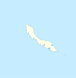
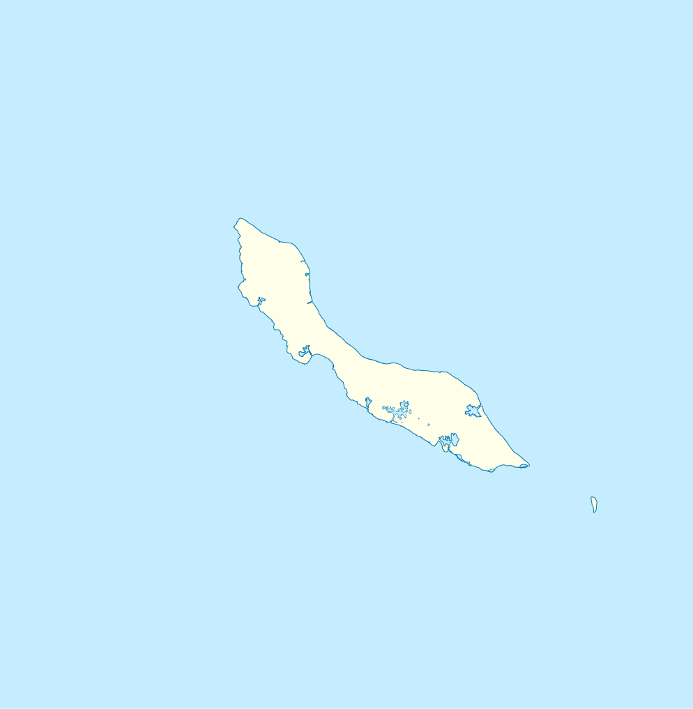
| Description | English: Blank administrative map of Curaçao Français : Carte administrative vierge de Curaçao
|
| Date | 18:29 |
| Source | https://openstreetmap.fr/ |
| Author | Xfigpower (pssst), 24 February 2011 (UTC) |
| SVG development |
Licensing
I, the copyright holder of this work, hereby publish it under the following licenses:
 | Permission is granted to copy, distribute and/or modify this document under the terms of the GNU Free Documentation License, Version 1.2 or any later version published by the Free Software Foundation; with no Invariant Sections, no Front-Cover Texts, and no Back-Cover Texts. A copy of the license is included in the section entitled GNU Free Documentation License. |
This file is licensed under the Creative Commons Attribution 3.0 Unported license.
- You are free:
- to share – to copy, distribute and transmit the work
- to remix – to adapt the work
- Under the following conditions:
- attribution – You must give appropriate credit, provide a link to the license, and indicate if changes were made. You may do so in any reasonable manner, but not in any way that suggests the licensor endorses you or your use.
You may select the license of your choice.
File history
Click on a date/time to view the file as it appeared at that time.
| Date/Time | Thumbnail | Dimensions | User | Comment | |
|---|---|---|---|---|---|
| current | 18:29, 24 February 2011 | | 994 × 1,016 (88 KB) | Xfigpower | {{Information |Description ={{en|1=Blank administrative map of Curaçao}} {{fr|1=Carte administrative vierge de Curaçao * N : 12.7° * S : 11,7° * O : -69,5° * E :-68.5}} |Source =http://openstreetmap.fr/ |Author =~~~~ |Date |
File usage
There are no pages that use this file.
Global file usage
The following other wikis use this file:
- Usage on af.wikipedia.org
- Usage on an.wikipedia.org
- Usage on ar.wikipedia.org
- Usage on ast.wikipedia.org
- Usage on be-tarask.wikipedia.org
- Usage on bg.wikipedia.org
- Usage on bn.wikipedia.org
- Usage on bs.wikipedia.org
- Usage on ceb.wikipedia.org
- Plantilya:Location map Curacao
- Nieuwpoort
- Santa Barbara
- Ceru Pretu
- Westpunt
- Ceru Grandi
- Noordpunt
- Seru Grandi
- Punta Blanku
- Tafelberg
- Newport
- Lagoen
- Punta Santa Barbara
- Leeward Point
- Punta Caballero
- Willemstad
- Boca Santa Cruz
- Penso
- Ser’i Palomba
- Negropont
- Meeuwtje
- Seru Kabayé
- Seru Zjeremi
- Zakitó
- Ser'i Yuana
- Willemstad (ulohang dakbayan)
- Willemberg
- Westpunt (punta sa Kurasaw)
- Waaigat
- Baai van Versali
- Veerisberg
- Seru Un Blachi
- Seru Tinta
- Tafelberg (Curaçao)
- Spaanse Water
- Spaanse Haven
- Sint Michielsberg
View more global usage of this file.
Explore the world

United states
New York

Japan
Tokyo

Singapore
Singapore
