
 Français
 Italiano
Original file (SVG file, nominally 1,004 × 611 pixels, file size: 184 KB)
This is a file from the Wikimedia Commons and may be used by other projects. Information from its description page there is shown below. Commons is a freely licensed media file repository. |
Summary
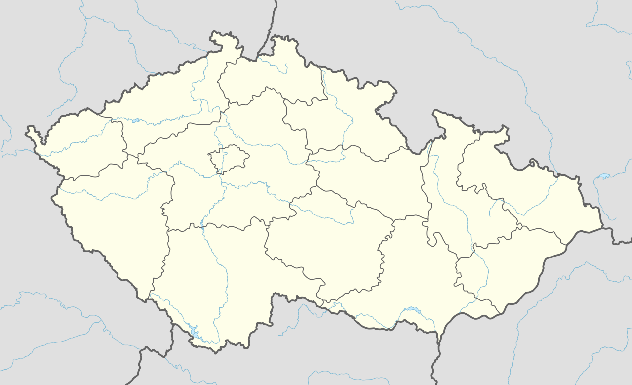
| Description | Deutsch: Positionskarte von Tschechien English: Location map of the Czech Republic
| ||||||||||||
| Date | |||||||||||||
| Source | Own work using:
| ||||||||||||
| Author | NordNordWest | ||||||||||||
| SVG development | This map was created with Adobe Illustrator.
| ||||||||||||

Licensing
Usage of this file with:

explanatory notes: Legally binding is only the full legalcode. For a free usage I recommend to respect the following licence conditions:
1. Provide my name as given above: NordNordWest,
2. a copy of, or the URI for, the applicable license: https://creativecommons.org/licenses/by-sa/3.0/de/legalcode,
3. the title of the work,
4. in the case of an adaptation, a credit identifying the use of the work in the adaptation.
This license and the rights granted hereunder will terminate automatically upon any breach by you of the terms of this license. Any of the above conditions can be waived if you get permission from the copyright holder. If you have questions or wish differing conditions, please contact me through nnwest or my discussion page ![]() t-online.de
t-online.de
- You are free:
- to share – to copy, distribute and transmit the work
- to remix – to adapt the work
- Under the following conditions:
- attribution – You must give appropriate credit, provide a link to the license, and indicate if changes were made. You may do so in any reasonable manner, but not in any way that suggests the licensor endorses you or your use.
- share alike – If you remix, transform, or build upon the material, you must distribute your contributions under the same or compatible license as the original.

File history
Click on a date/time to view the file as it appeared at that time.
| Date/Time | Thumbnail | Dimensions | User | Comment | |
|---|---|---|---|---|---|
| current | 18:22, 1 September 2015 | | 1,004 × 611 (184 KB) | NordNordWest | == {{int:filedesc}} == {{Information |Description= {{de|1=Positionskarte von Tschechien}} {{en|1=Location map of the Czech Republic}} {{Location map series N |stretching=150 |top=51.3 |bottom=48.3 |left=11.8 |right=19.2 }} |Source={{Own using}} * Unite... |
File usage
There are no pages that use this file.
Global file usage
The following other wikis use this file:
- Usage on af.wikipedia.org
- Usage on als.wikipedia.org
- Usage on an.wikipedia.org
- Usage on ar.wikipedia.org
- Usage on arz.wikipedia.org
- Usage on ast.wikipedia.org
- Praga
- Benetice
- Alojzov
- Blansko
- Sinagoga Maisel
- Vrahovice
- Güesera de Sedlec
- Brno
- Ostrava
- Olomouc
- Liberec
- Pilsen
- Universidá Carolina de Praga
- Módulu:Mapa de llocalización/datos/Chequia
- Biblioteca Nacional de la República Checa
- Gran Premiu de la República Checa de Motociclismu
- Autódromu de Brno
- Observatoriu Kleť
- Universidá Masaryk
- Aeropuertu de Pardubice
- Aeropuertu de Praga
- Módulu:Mapa de llocalización/datos/Chequia/usu
- Usage on as.wikipedia.org
View more global usage of this file.
Metadata
Explore the world

United states
New York

Japan
Tokyo

Singapore
Singapore
