
 Français
 Italiano
Size of this PNG preview of this SVG file: 800 × 544 pixels. Other resolutions: 320 × 218 pixels | 640 × 435 pixels | 1,024 × 696 pixels | 1,280 × 870 pixels | 2,560 × 1,741 pixels | 1,425 × 969 pixels.
Original file (SVG file, nominally 1,425 × 969 pixels, file size: 1.97 MB)
This is a file from the Wikimedia Commons and may be used by other projects. Information from its description page there is shown below. Commons is a freely licensed media file repository. |
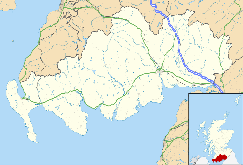
| Description | Blank map of Dumfries and Galloway, UK with the following information shown:
Equirectangular map projection on WGS 84 datum, with N/S stretched 170% Geographic limits:
|
| Date | |
| Source |
|
| Author | Nilfanion, created using Ordnance Survey data |
| Permission (Reusing this file) | This file is licensed under the Creative Commons Attribution-Share Alike 3.0 Unported license. Attribution: Contains Ordnance Survey data © Crown copyright and database right
|
| Other versions | File:Dumfries and Galloway UK blank map.svg - Blank map |
File history
Click on a date/time to view the file as it appeared at that time.
| Date/Time | Thumbnail | Dimensions | User | Comment | |
|---|---|---|---|---|---|
| current | 20:07, 26 September 2010 | | 1,425 × 969 (1.97 MB) | Nilfanion | {{Information |Description=Blank map of Dumfries and Galloway, UK with the following information shown: *Administrative borders *Coastline, lakes and rivers *Roads and railways *Urban areas Equirectangular map projection on WG |
File usage
There are no pages that use this file.
Global file usage
The following other wikis use this file:
- Usage on ar.wikipedia.org
- Usage on bg.wikipedia.org
- Usage on ceb.wikipedia.org
- Usage on de.wikipedia.org
- Usage on en.wikipedia.org
- Dumfries
- Caerlaverock Castle
- Dumfries and Galloway
- Ruthwell
- Ecclefechan
- Wigtown
- Sanquhar
- Stranraer
- Gretna Green
- Kirkcudbright
- Castle Douglas
- Moniaive
- List of monastic houses in Scotland
- Thornhill, Dumfries and Galloway
- Whithorn
- Isle of Whithorn
- Newton Stewart
- Langholm
- Gretna, Dumfries and Galloway
- Lochans, Dumfries and Galloway
- Port William, Dumfries and Galloway
- Mull of Galloway
- Kagyu Samye Ling Monastery and Tibetan Centre
- Rowanburn
- Dalbeattie
- Portpatrick
- Ae, Dumfries and Galloway
- New Galloway
- Kirkconnel
- Sandhead
- Tongland
- Annan, Dumfries and Galloway
- Penpont
View more global usage of this file.
Explore the world

United states
New York

Japan
Tokyo

Singapore
Singapore
