
 Français
 Italiano
Size of this PNG preview of this SVG file: 768 × 599 pixels. Other resolutions: 308 × 240 pixels | 615 × 480 pixels | 984 × 768 pixels | 1,280 × 999 pixels | 2,560 × 1,998 pixels | 1,425 × 1,112 pixels.
Original file (SVG file, nominally 1,425 × 1,112 pixels, file size: 717 KB)
This is a file from the Wikimedia Commons and may be used by other projects. Information from its description page there is shown below. Commons is a freely licensed media file repository. |
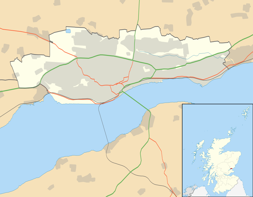
| Description | Blank map of Dundee, UK with the following information shown:
Equirectangular map projection on WGS 84 datum, with N/S stretched 170% Geographic limits:
|
| Date | |
| Source |
|
| Author | Nilfanion, created using Ordnance Survey data |
| Permission (Reusing this file) | This file is licensed under the Creative Commons Attribution-Share Alike 3.0 Unported license. Attribution: Contains Ordnance Survey data © Crown copyright and database right
|
| Other versions | File:Dundee UK blank map.svg - Blank map |
File history
Click on a date/time to view the file as it appeared at that time.
| Date/Time | Thumbnail | Dimensions | User | Comment | |
|---|---|---|---|---|---|
| current | 20:07, 26 September 2010 | | 1,425 × 1,112 (717 KB) | Nilfanion | {{Information |Description=Blank map of Dundee, UK with the following information shown: *Administrative borders *Coastline, lakes and rivers *Roads and railways *Urban areas Equirectangular map projection on WGS 84 datum, with N/S stretched |
File usage
There are no pages that use this file.
Global file usage
The following other wikis use this file:
- Usage on ar.wikipedia.org
- Usage on bg.wikipedia.org
- Usage on ceb.wikipedia.org
- Usage on de.wikipedia.org
- Usage on en.wikipedia.org
- Dundee
- Newport-on-Tay
- Camperdown, Dundee
- Broughty Ferry
- Wormit
- Tannadice Park
- Dens Park
- Stobswell
- Lochee
- Dundee Airport
- Monifieth
- Liff, Angus
- Broughty Ferry railway station
- Template:Dundee-geo-stub
- Strathmartine
- Balgowan, Dundee
- Ninewells
- Claverhouse
- Logie, Dundee
- Balgay
- Seagate bus station
- Dundee Law
- West End, Dundee
- Scottish Junior Football East Region Premier League North
- Barnhill, Dundee
- Dundee Contemporary Arts
- Douglas, Dundee
- Murroes
- Pitkerro
- Fintry, Dundee
- Menzieshill
- Ardler
- Charleston, Dundee
- Whitfield, Dundee
- Invergowrie
- The McManus
- Ninewells Hospital
- Dundee city centre
- Birkhill, Angus
- Craigiebank
View more global usage of this file.
Explore the world

United states
New York

Japan
Tokyo

Singapore
Singapore
