
 Français
 Italiano
Size of this preview: 773 × 600 pixels. Other resolutions: 309 × 240 pixels | 619 × 480 pixels | 990 × 768 pixels | 1,280 × 993 pixels | 1,999 × 1,551 pixels.
Original file (1,999 × 1,551 pixels, file size: 225 KB, MIME type: image/jpeg)
This is a file from the Wikimedia Commons and may be used by other projects. Information from its description page there is shown below. Commons is a freely licensed media file repository. |
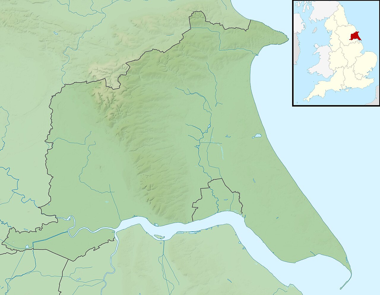
| Description | Relief map of the East Riding of Yorkshire, UK. Equirectangular map projection on WGS 84 datum, with N/S stretched 165% Geographic limits:
|
| Date | |
| Source |
|
| Author | Nilfanion, created using Ordnance Survey data |
| Permission (Reusing this file) | This file is licensed under the Creative Commons Attribution-Share Alike 3.0 Unported license. Attribution: Contains Ordnance Survey data © Crown copyright and database right
|
| Other versions | File:East Riding of Yorkshire UK district map (blank).svg - Blank map |
.svg)
File history
Click on a date/time to view the file as it appeared at that time.
| Date/Time | Thumbnail | Dimensions | User | Comment | |
|---|---|---|---|---|---|
| current | 01:33, 29 November 2011 | | 1,999 × 1,551 (225 KB) | Nilfanion | {{Information |Description=Relief map of the East Riding of Yorkshire, UK. Equirectangular map projection on WGS 84 datum, with N/S stretched 165% Geographic limits: *West: 1.11W *East: 0.25E *North: 54.20N *South: 53.56N |
File usage
There are no pages that use this file.
Global file usage
The following other wikis use this file:
- Usage on ar.wikipedia.org
- Usage on arz.wikipedia.org
- Usage on bg.wikipedia.org
- Usage on ceb.wikipedia.org
- Usage on en.wikipedia.org
- Flamborough Head
- Bishop Wilton Wold
- Hornsea Mere
- West Beck
- Siege of Hull (1643)
- Gypsey Race
- Bewholme Vicarage
- Module:Location map/data/United Kingdom East Riding of Yorkshire
- Module:Location map/data/East Riding of Yorkshire
- Module:Location map/data/United Kingdom East Riding of Yorkshire/doc
- User:DutchTreat/Projects/Places
- Siemens Goole
- River Hull tidal surge barrier
- Pensana Salt End
- Winestead Drain
- Port of Goole
- Lambwath Stream
- Pocklington Beck
- Usage on es.wikipedia.org
- Usage on fr.wikipedia.org
- Usage on ja.wikipedia.org
- Usage on kn.wikipedia.org
- Usage on lv.wikipedia.org
- Usage on mk.wikipedia.org
- Usage on nl.wikipedia.org
- Usage on os.wikipedia.org
- Usage on pl.wikipedia.org
- Usage on pl.wikibooks.org
- Usage on ru.wikipedia.org
- Usage on simple.wikipedia.org
- Usage on si.wikipedia.org
View more global usage of this file.
Explore the world

United states
New York

Japan
Tokyo

Singapore
Singapore
