
 Français
 Italiano
Size of this PNG preview of this SVG file: 400 × 600 pixels. Other resolutions: 160 × 240 pixels | 320 × 480 pixels | 512 × 768 pixels | 682 × 1,024 pixels | 1,365 × 2,048 pixels.
Original file (SVG file, nominally 400 × 600 pixels, file size: 268 KB)
This is a file from the Wikimedia Commons and may be used by other projects. Information from its description page there is shown below. Commons is a freely licensed media file repository. |
This W3C-unspecified vector image was created with Inkscape .
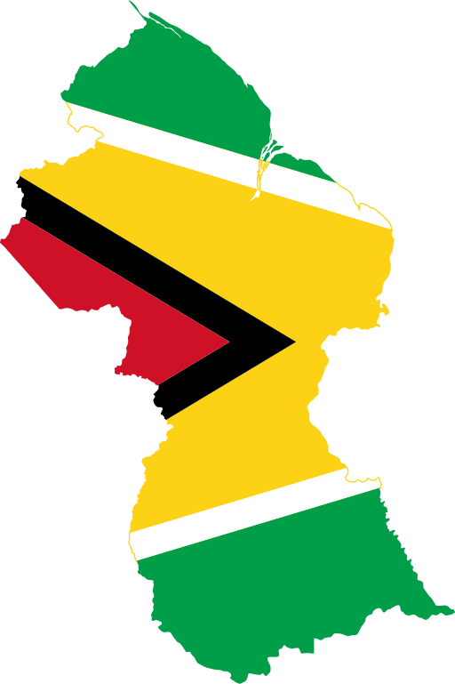
| Description | Flag-map of Guyana |
| Source | self-made using Image:Guyana location map.svg and Image:Flag of Guyana.svg |
| Author | Darwinek |
I, the copyright holder of this work, hereby publish it under the following licenses:
This file is licensed under the Creative Commons Attribution-Share Alike 3.0 Unported license.
- You are free:
- to share – to copy, distribute and transmit the work
- to remix – to adapt the work
- Under the following conditions:
- attribution – You must give appropriate credit, provide a link to the license, and indicate if changes were made. You may do so in any reasonable manner, but not in any way that suggests the licensor endorses you or your use.
- share alike – If you remix, transform, or build upon the material, you must distribute your contributions under the same or compatible license as the original.
 | Permission is granted to copy, distribute and/or modify this document under the terms of the GNU Free Documentation License, Version 1.2 or any later version published by the Free Software Foundation; with no Invariant Sections, no Front-Cover Texts, and no Back-Cover Texts. A copy of the license is included in the section entitled GNU Free Documentation License. |
You may select the license of your choice.
File history
Click on a date/time to view the file as it appeared at that time.
| Date/Time | Thumbnail | Dimensions | User | Comment | |
|---|---|---|---|---|---|
| current | 18:30, 12 April 2016 | | 400 × 600 (268 KB) | Stasyan117 | Reverted to version as of 14:56, 17 May 2015 (UTC) |
| 00:35, 15 January 2016 |  | 641 × 1,100 (11 KB) | Dim Grits | Reverted to version as of 20:06, 23 May 2008 (UTC) | |
| 14:56, 17 May 2015 |  | 400 × 600 (268 KB) | Stasyan117 | Reduce | |
| 23:18, 27 January 2015 |  | 512 × 769 (26 KB) | Stasyan117 | Reduce | |
| 14:45, 4 December 2008 |  | 813 × 1,220 (119 KB) | Darwinek | more correct borders | |
| 20:06, 23 May 2008 |  | 641 × 1,100 (11 KB) | Darwinek |
File usage
There are no pages that use this file.
Global file usage
The following other wikis use this file:
- Usage on ar.wikinews.org
- Usage on bg.wikipedia.org
- Usage on cs.wikipedia.org
- Usage on de.wikipedia.org
- Usage on en.wikipedia.org
- Acarai Mountains
- Template:Guyana-geo-stub
- Parika
- Kwakwani
- Kamwatta Hill
- Kwebanna
- Kumaka, Barima-Waini
- Baramita
- Hosororo
- Shell Beach, Guyana
- Kartabo, Guyana
- Orinduik
- Imataka Mountains
- Imbaimadai
- Apoteri
- Kamarang
- Saxacalli
- Arakaka
- Torani Canal
- Orinduik Falls
- Hogg Island, Guyana
- Wakapau
- Mora Point
- Weldaad
- Belfield, Guyana
- Tumatumari Landing
- El Paso, Guyana
- Burma, Guyana
- Zeelandia, Guyana
- Amaila Falls
- King Edward VIII Falls
- Rappu Falls
- Murrays Fall
- Adventure, Guyana
- Wichabai
- Anna Regina
- Silver Hill, Guyana
- Hyde Park, Guyana
- Cane Grove
- Esau and Jacob
- Abary
- Governor Light
- Hackney, Guyana
- Seweyo
- Soesdyke-Linden Highway
View more global usage of this file.
Metadata
Explore the world

United states
New York

Japan
Tokyo

Singapore
Singapore
