
 Français
 Italiano
Size of this PNG preview of this SVG file: 512 × 417 pixels. Other resolutions: 295 × 240 pixels | 589 × 480 pixels | 943 × 768 pixels | 1,257 × 1,024 pixels | 2,515 × 2,048 pixels.
Original file (SVG file, nominally 512 × 417 pixels, file size: 245 KB)
This is a file from the Wikimedia Commons and may be used by other projects. Information from its description page there is shown below. Commons is a freely licensed media file repository. |
This W3C-unspecified vector image was created with Inkscape .
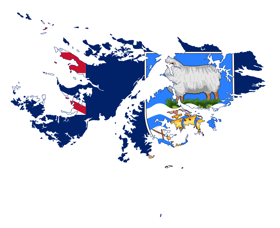
| Description | Flag-map of the Falkland Islands |
| Date | |
| Source | self-made using Image:Flag of the Falkland Islands.svg and Image:Falkland Islands location map.svg |
| Author | Darwinek |
I, the copyright holder of this work, hereby publish it under the following licenses:
This file is licensed under the Creative Commons Attribution-Share Alike 3.0 Unported license.
- You are free:
- to share – to copy, distribute and transmit the work
- to remix – to adapt the work
- Under the following conditions:
- attribution – You must give appropriate credit, provide a link to the license, and indicate if changes were made. You may do so in any reasonable manner, but not in any way that suggests the licensor endorses you or your use.
- share alike – If you remix, transform, or build upon the material, you must distribute your contributions under the same or compatible license as the original.
 | Permission is granted to copy, distribute and/or modify this document under the terms of the GNU Free Documentation License, Version 1.2 or any later version published by the Free Software Foundation; with no Invariant Sections, no Front-Cover Texts, and no Back-Cover Texts. A copy of the license is included in the section entitled GNU Free Documentation License. |
You may select the license of your choice.
File history
Click on a date/time to view the file as it appeared at that time.
| Date/Time | Thumbnail | Dimensions | User | Comment | |
|---|---|---|---|---|---|
| current | 20:22, 6 March 2022 | | 512 × 417 (245 KB) | Flagvisioner | updated |
| 22:05, 16 April 2016 |  | 977 × 787 (344 KB) | Stasyan117 | corrected | |
| 23:27, 28 January 2015 |  | 977 × 787 (345 KB) | Stasyan117 | Обводка и корректировка | |
| 11:03, 27 June 2010 |  | 796 × 489 (411 KB) | Darwinek | {{Information |Description=. |Source={{own}} |Date= |Author=Darwinek |Permission= |other_versions= }} |
File usage
There are no pages that use this file.
Global file usage
The following other wikis use this file:
- Usage on en.wikipedia.org
- Mount Usborne
- Beaver Island, Falkland Islands
- Barren Island, Falkland Islands
- George Island
- Camp (Falkland Islands)
- Port San Carlos
- Mount Maria
- Hornby Mountains
- Salvador Settlement
- Cape Meredith
- Bluff Cove
- Grand Jason Island
- North Arm
- Wickham Heights
- Template:Falklands-geo-stub
- User:Zozoulia
- Choiseul Sound
- Passage Islands
- Tyssen Islands
- Swan Islands, Falkland Islands
- Brenton Loch
- Warrah River
- Ruggles Island
- Hope Place
- Chartres River
- Murrell River
- Port Stephens, Falkland Islands
- Hoste Inlet
- Port Albemarle
- Chartres, Falkland Islands
- Roy Cove
- Storm Mountain, Falkland Islands
- Blackburn River
- King George Bay
- Byron Sound
- Walker Creek, Falkland Islands
- San Carlos River (Falkland Islands)
- Jack's Mountain
- Volunteer Point
- Green Patch
- MacBride Head
- Calm Head
- Grantham Sound
- Ajax Bay
- Golding Island
- Cape Dolphin
- Kidney Island
- Teal Inlet
- Douglas, Falkland Islands
- Rincon Grande
View more global usage of this file.
Metadata
Explore the world

United states
New York

Japan
Tokyo

Singapore
Singapore
