
 Français
 Italiano
Size of this PNG preview of this SVG file: 115 × 160 pixels. Other resolutions: 172 × 240 pixels | 345 × 480 pixels | 552 × 768 pixels | 736 × 1,024 pixels | 1,472 × 2,048 pixels.
Original file (SVG file, nominally 115 × 160 pixels, file size: 212 KB)
This is a file from the Wikimedia Commons and may be used by other projects. Information from its description page there is shown below. Commons is a freely licensed media file repository. |
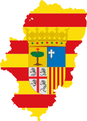
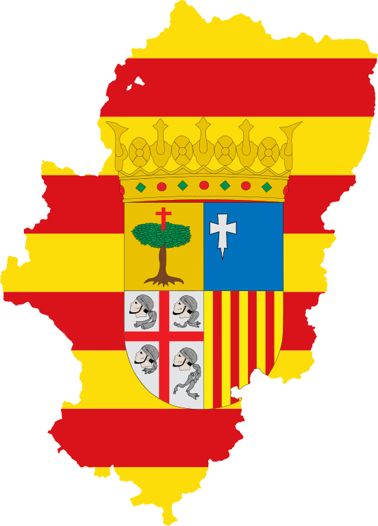
| Description | Flag map of Aragon |
| Date | (UTC) |
| Source | |
| Author |
|
This file is licensed under the Creative Commons Attribution-Share Alike 3.0 Unported license.
- You are free:
- to share – to copy, distribute and transmit the work
- to remix – to adapt the work
- Under the following conditions:
- attribution – You must give appropriate credit, provide a link to the license, and indicate if changes were made. You may do so in any reasonable manner, but not in any way that suggests the licensor endorses you or your use.
- share alike – If you remix, transform, or build upon the material, you must distribute your contributions under the same or compatible license as the original.
Uploaded with derivativeFX
File history
Click on a date/time to view the file as it appeared at that time.
| Date/Time | Thumbnail | Dimensions | User | Comment | |
|---|---|---|---|---|---|
| current | 21:36, 1 April 2011 | | 115 × 160 (212 KB) | Fry1989 | {{Information |Description=Flag map of Aragon |Source=*File:Localización_de_Aragón.svg *File:Flag_of_Aragon.svg |Date=2011-04-01 21:28 (UTC) |Author=*File:Localización_de_Aragón.svg: Mutxamel, subido por '''[[User:R |
File usage
There are no pages that use this file.
Global file usage
The following other wikis use this file:
- Usage on bs.wikipedia.org
- Usage on en.wikipedia.org
- Aragón (river)
- Tamarite de Litera
- Valderrobres
- Sesa, Spain
- Benasque
- La Litera
- Crivillén
- Biota, Cinco Villas
- Manzanera
- Villanúa
- Abiego
- Atea, Zaragoza
- Biel, Aragon
- Terrer
- Figueruelas
- Monte Perdido
- Segeda
- Foz-Calanda
- Monforte de Moyuela
- Fuenferrada
- Chía, Aragon
- Orés
- Template:Aragon-geo-stub
- Belchite
- Berge, Teruel
- Campo, Aragon
- Cariñena, Aragon
- Mallos de Riglos
- Collarada
- Ibieca
- Noguera Ribagorçana
- Montalbán, Teruel
- Andorra, Teruel
- Pancrudo
- La Puebla de Híjar
- Mozota
- Tolva
- Tena Valley
- Épila
- Balaïtous
- Calanda, Spain
- El Montsec d'Ares
- Berrueco
- Gallur
- Used, Huesca
- Murero
- High Aragon
- Cadrete
- Aínsa
View more global usage of this file.
Explore the world

United states
New York

Japan
Tokyo

Singapore
Singapore
