
 Français
 Italiano
Size of this PNG preview of this SVG file: 123 × 123 pixels. Other resolutions: 240 × 240 pixels | 480 × 480 pixels | 768 × 768 pixels | 1,024 × 1,024 pixels | 2,048 × 2,048 pixels.
Original file (SVG file, nominally 123 × 123 pixels, file size: 30 KB)
This is a file from the Wikimedia Commons and may be used by other projects. Information from its description page there is shown below. Commons is a freely licensed media file repository. |
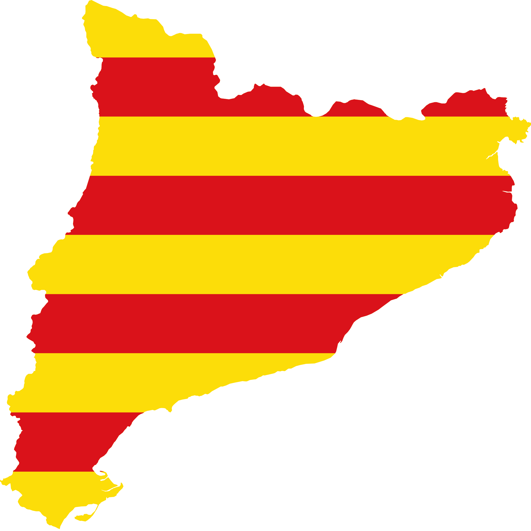
| Description | Flag map of Catalonia |
| Date | (UTC) |
| Source | |
| Author |
|
| Other versions |  |
This file is licensed under the Creative Commons Attribution-Share Alike 3.0 Unported license.
- You are free:
- to share – to copy, distribute and transmit the work
- to remix – to adapt the work
- Under the following conditions:
- attribution – You must give appropriate credit, provide a link to the license, and indicate if changes were made. You may do so in any reasonable manner, but not in any way that suggests the licensor endorses you or your use.
- share alike – If you remix, transform, or build upon the material, you must distribute your contributions under the same or compatible license as the original.
Uploaded with derivativeFX
File history
Click on a date/time to view the file as it appeared at that time.
| Date/Time | Thumbnail | Dimensions | User | Comment | |
|---|---|---|---|---|---|
| current | 06:24, 29 January 2011 | | 123 × 123 (30 KB) | Fry1989 | {{Information |Description=Flag map of Catalonia |Source=*File:Cataluña_EU.svg *File:Siñal_d'Aragón.svg |Date=2011-01-29 06:19 (UTC) |Author=*File:Cataluña_EU.svg: *[[:File:Localización_de_Cataluña.svg|Localización_de_Cataluña.sv |
File usage
There are no pages that use this file.
Global file usage
The following other wikis use this file:
- Usage on an.wiktionary.org
- Usage on ca.wikipedia.org
- Usage on ca.wiktionary.org
- Usage on cs.wikipedia.org
- Usage on en.wikipedia.org
- Ter (river)
- El Pont de Suert
- Fluvià
- Noguera Pallaresa
- Cap de Creus
- Capcir
- Conflent
- Vallespir
- Tosa d'Alp
- Onyar
- Finestret
- Template:Catalonia-geo-stub
- Noguera Ribagorçana
- Monistrol de Montserrat
- Súria
- Maçanet de la Selva
- Miravet
- Cardener
- Anoia (river)
- Alt Àneu
- Esterri d'Àneu
- Alins
- User:AdeMiami/Sandbox
- Montseny Massif
- Gavarres
- Muga (river)
- Set (river)
- El Montsec d'Ares
- Cadí-Moixeró Natural Park
- Talarn Dam
- Serra de Granera
- Pic del Port Vell
- Pic de Sanfonts
- Puigmal
- Vilaller
- Tavertet
- Figuerola del Camp
- Mediona
- Subirats
- Cardedeu
View more global usage of this file.
Explore the world

United states
New York

Japan
Tokyo

Singapore
Singapore
