
 Français
 Italiano
Size of this PNG preview of this SVG file: 761 × 600 pixels. Other resolutions: 305 × 240 pixels | 609 × 480 pixels | 975 × 768 pixels | 1,280 × 1,009 pixels | 2,560 × 2,017 pixels | 1,000 × 788 pixels.
Original file (SVG file, nominally 1,000 × 788 pixels, file size: 42 KB)
This is a file from the Wikimedia Commons and may be used by other projects. Information from its description page there is shown below. Commons is a freely licensed media file repository. |
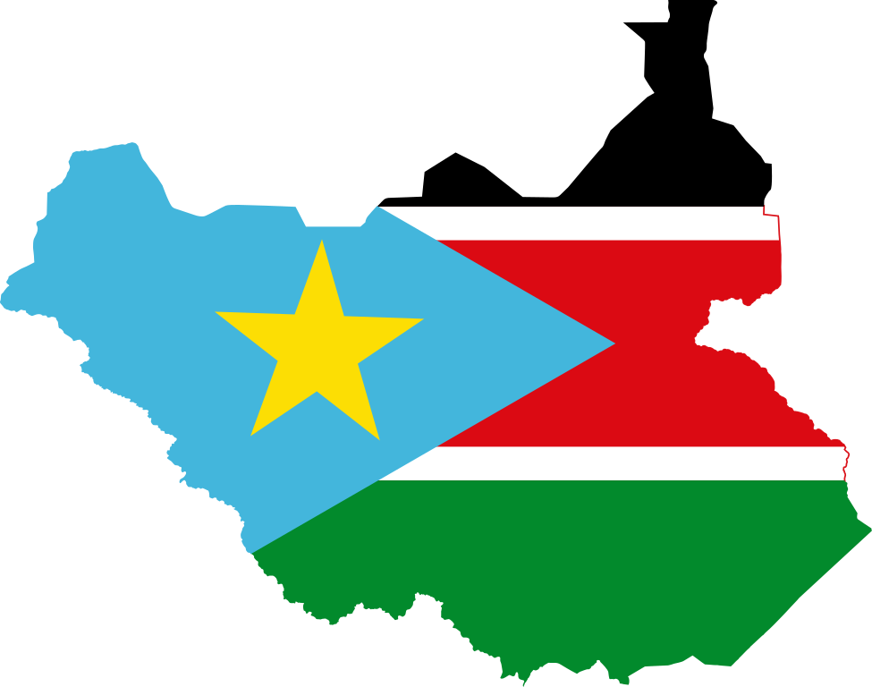
| Description | Flag map of the Republic of South Sudan |
| Date | (UTC) |
| Source | |
| Author | |
| Other versions | Derivative works of this file: LocationSouthernSudan-Independent.svg |
This file is licensed under the Creative Commons Attribution-Share Alike 3.0 Unported license.
- You are free:
- to share – to copy, distribute and transmit the work
- to remix – to adapt the work
- Under the following conditions:
- attribution – You must give appropriate credit, provide a link to the license, and indicate if changes were made. You may do so in any reasonable manner, but not in any way that suggests the licensor endorses you or your use.
- share alike – If you remix, transform, or build upon the material, you must distribute your contributions under the same or compatible license as the original.
Uploaded with derivativeFX
File history
Click on a date/time to view the file as it appeared at that time.
| Date/Time | Thumbnail | Dimensions | User | Comment | |
|---|---|---|---|---|---|
| current | 05:07, 18 July 2024 | | 1,000 × 788 (42 KB) | ErrrrrWhat | Uh-uh. This is the current flag on the map of South Sudan. |
| 03:42, 3 July 2024 |  | 1,000 × 788 (42 KB) | Coolalabright | Reverted to version as of 19:00, 16 February 2024 (UTC) | |
| 22:25, 23 February 2024 |  | 1,000 × 788 (42 KB) | NorthTension | Reverted to version as of 03:10, 6 February 2024 (UTC) revert troll | |
| 19:00, 16 February 2024 |  | 1,000 × 788 (42 KB) | WessyTheBoy54 | Reverted to version as of 08:28, 1 February 2024 (UTC) | |
| 03:10, 6 February 2024 |  | 1,000 × 788 (42 KB) | NorthTension | colors | |
| 08:28, 1 February 2024 |  | 1,000 × 788 (42 KB) | WessyTheBoy54 | Reverted to version as of 01:06, 21 April 2023 (UTC) | |
| 01:41, 23 October 2023 |  | 1,000 × 788 (42 KB) | NorthTension | color, probably screwed up the star position tho | |
| 01:06, 21 April 2023 |  | 1,000 × 788 (42 KB) | Mdaniels5757 | Reverted to version as of 15:26, 9 May 2016 (UTC) | |
| 01:58, 20 April 2023 |  | 471 × 355 (3 KB) | PedroDuqueSantiago | Reverted to version as of 15:15, 18 April 2023 (UTC) | |
| 18:43, 19 April 2023 |  | 1,000 × 788 (42 KB) | NorthTension | Reverted to version as of 21:32, 17 April 2023 (UTC) vandalism |
File usage
There are no pages that use this file.
Global file usage
The following other wikis use this file:
- Usage on ar.wikipedia.org
- البحيرات (ولاية)
- وسط الاستوائية (ولاية)
- واراب (ولاية)
- شرق الاستوائية (ولاية)
- غرب بحر الغزال (ولاية)
- شلالات النيل
- إقليم بحر الغزال
- بحر الجبل
- أعالي النيل (ولاية)
- شمال بحر الغزال (ولاية)
- جونقلي (ولاية)
- غرب الاستوائية (ولاية)
- الوحدة (ولاية)
- كبويتا (بلدة)
- أكوبو
- مطار أويل
- منطقة أبيي
- غندكرو
- قالب:بذرة جغرافيا جنوب السودان
- منطقة أعالي النيل
- بحر العرب (دارفور)
- نهر أدار
- مستخدم:ASammour/بذرة-بوابة
- خط طول 30° شرق
- خط عرض 4° شمال
- خط عرض 5° شمال
- خط عرض 6° شمال
- خط عرض 8° شمال
- خط عرض 9° شمال
- خط عرض 11° شمال
- خط عرض 12° شمال
- مقاطعة بانيكانج
- هضبة بوما
- حديقة بوما الوطنية
- نهر يابوس
- بحر الزراف
- Usage on ar.wikinews.org
- Usage on ar.wikiquote.org
- Usage on ce.wikipedia.org
- Usage on da.wikipedia.org
- Usage on de.wikipedia.org
View more global usage of this file.
Metadata
Explore the world

United states
New York

Japan
Tokyo

Singapore
Singapore
