
 Français
 Italiano
Size of this PNG preview of this SVG file: 704 × 599 pixels. Other resolutions: 282 × 240 pixels | 564 × 480 pixels | 902 × 768 pixels | 1,203 × 1,024 pixels | 2,406 × 2,048 pixels | 1,425 × 1,213 pixels.
Original file (SVG file, nominally 1,425 × 1,213 pixels, file size: 2.35 MB)
This is a file from the Wikimedia Commons and may be used by other projects. Information from its description page there is shown below. Commons is a freely licensed media file repository. |
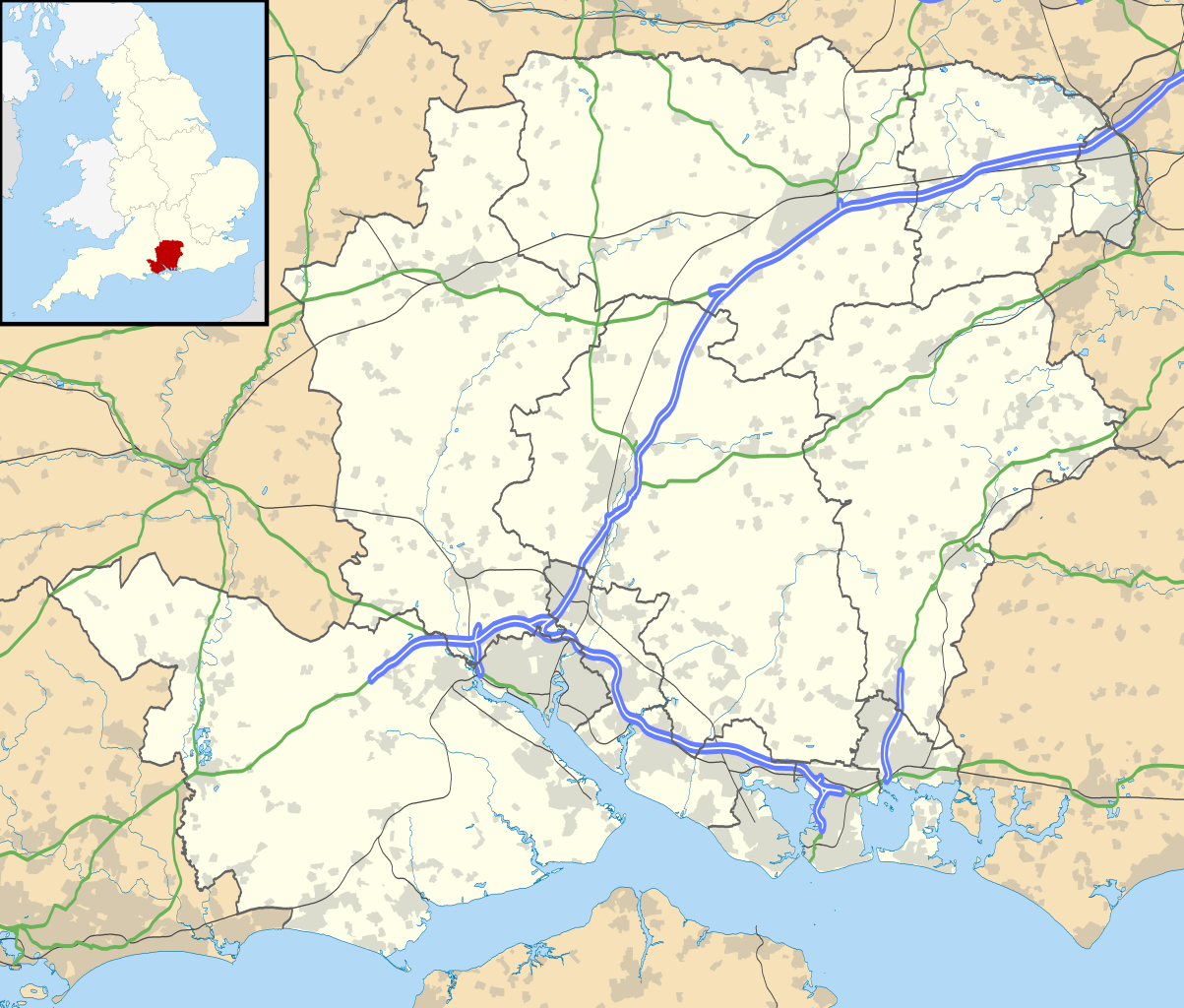
| Description | Map of Hampshire, UK with the following information shown:
Equirectangular map projection on WGS 84 datum, with N/S stretched 155% Geographic limits:
|
| Date | |
| Source |
|
| Author | Nilfanion, created using Ordnance Survey data |
| Permission (Reusing this file) | This file is licensed under the Creative Commons Attribution-Share Alike 3.0 Unported license. Attribution: Contains Ordnance Survey data © Crown copyright and database right
|
| Other versions | File:Hampshire UK district map (blank).svg - Blank map |
.svg)
File history
Click on a date/time to view the file as it appeared at that time.
| Date/Time | Thumbnail | Dimensions | User | Comment | |
|---|---|---|---|---|---|
| current | 18:55, 26 September 2010 | | 1,425 × 1,213 (2.35 MB) | Nilfanion | {{Information |Description=Map of Hampshire, UK with the following information shown: *Administrative borders *Coastline, lakes and rivers *Roads and railways *Urban areas Equirectangular map projection on WGS 84 datum, with N/S stretched |
File usage
There are no pages that use this file.
Global file usage
The following other wikis use this file:
- Usage on ar.wikipedia.org
- Usage on bg.wikipedia.org
- Usage on ceb.wikipedia.org
- Usage on en.wikipedia.org
- Emsworth
- Hayling Island
- Hampshire
- Waterlooville
- Winchester
- Beaulieu, Hampshire
- Southsea
- Domus Dei
- Winchester Cathedral
- Romsey Abbey
- Calleva Atrebatum
- Tadley
- National Motor Museum, Beaulieu
- Wickham, Hampshire
- Romsey
- Little London, Tadley, Hampshire
- Lovedean
- Farnborough, Hampshire
- Fleet, Hampshire
- Church Crookham
- Blackbushe Airport
- Havant
- Nursling
- Fordingbridge
- Southampton Airport
- Fareham
- Whale Island, Hampshire
- Basingstoke
- Aldershot
- Eastleigh
- Alton, Hampshire
- Andover, Hampshire
- Lymington
- Portchester
- Ringwood, Hampshire
- Yateley
- Chawton
- New Milton
- Brockenhurst
- Bishop's Waltham
- Portchester Castle
- Hythe, Hampshire
- Portsea Island
- RAF Odiham
- University of Portsmouth
- Stratfield Saye House
View more global usage of this file.
Metadata
Explore the world

United states
New York

Japan
Tokyo

Singapore
Singapore
