
 Français
 Italiano
Size of this PNG preview of this SVG file: 563 × 599 pixels. Other resolutions: 226 × 240 pixels | 451 × 480 pixels | 722 × 768 pixels | 962 × 1,024 pixels | 1,925 × 2,048 pixels | 845 × 899 pixels.
Original file (SVG file, nominally 845 × 899 pixels, file size: 1.14 MB)
This is a file from the Wikimedia Commons and may be used by other projects. Information from its description page there is shown below. Commons is a freely licensed media file repository. |
Summary
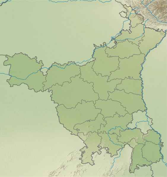
| Description | English: Relief map of Haryana. Elevation data from STRM |
| Date | |
| Source | File:India Haryana location map.svg |
| Author | Own work based on User:Milenioscuro |
Licensing
This file is licensed under the Creative Commons Attribution-Share Alike 3.0 Unported license.
- You are free:
- to share – to copy, distribute and transmit the work
- to remix – to adapt the work
- Under the following conditions:
- attribution – You must give appropriate credit, provide a link to the license, and indicate if changes were made. You may do so in any reasonable manner, but not in any way that suggests the licensor endorses you or your use.
- share alike – If you remix, transform, or build upon the material, you must distribute your contributions under the same or compatible license as the original.
File history
Click on a date/time to view the file as it appeared at that time.
| Date/Time | Thumbnail | Dimensions | User | Comment | |
|---|---|---|---|---|---|
| current | 17:54, 28 April 2023 | | 845 × 899 (1.14 MB) | C1MM | Fixed borders |
| 04:55, 13 August 2021 |  | 845 × 899 (1.06 MB) | C1MM | Added better relief | |
| 05:39, 18 December 2020 |  | 626 × 750 (688 KB) | C1MM | Changed elevation colours | |
| 17:55, 24 October 2020 |  | 626 × 750 (1.76 MB) | C1MM | Changed image | |
| 01:15, 17 April 2020 |  | 626 × 750 (972 KB) | C1MM | Uploaded a work by Own work based on User:Milenioscuro from File:India Haryana location map.svg with UploadWizard |
File usage
There are no pages that use this file.
Global file usage
The following other wikis use this file:
- Usage on bn.wikipedia.org
- Usage on de.wikipedia.org
- Usage on en.wikipedia.org
- First Battle of Panipat
- Rakhigarhi
- Ambala
- Brahma Sarovar
- Kalesar National Park
- Rohtak
- Tosham
- Sannihit Sarovar
- Jyotisar
- Morni
- Karnal Aerodrome
- Bhirrana
- Badkhal Lake
- Dhosi Hill
- Karna Lake
- Surajkund
- Tilyar Lake
- Indian Open (golf)
- Bhagwanpura, Haryana
- Ottu barrage
- Panasonic Open (India)
- Hathni Kund Barrage
- Mitathal
- Damdama Lake
- Saraswati Wildlife Sanctuary
- Pinjore Aerodrome
- Tosham Hill range
- Kabuli Bagh Mosque
- Karoh Peak
- Gurugram Bhim Kund
- Topra Kalan
- Palla barrage
- Masani barrage
- Module:Location map/data/India Haryana
- Module:Location map/data/India Haryana/doc
- Thanesar Pathar Mosque
- Dargah Sheikh Musa
- Usage on eo.wikipedia.org
- Usage on es.wikipedia.org
- Usage on fr.wikipedia.org
View more global usage of this file.
Metadata
Explore the world

United states
New York

Japan
Tokyo

Singapore
Singapore
