
 Français
 Italiano
Size of this PNG preview of this SVG file: 800 × 583 pixels. Other resolutions: 320 × 233 pixels | 640 × 467 pixels | 1,024 × 747 pixels | 1,280 × 933 pixels | 2,560 × 1,867 pixels | 1,894 × 1,381 pixels.
Original file (SVG file, nominally 1,894 × 1,381 pixels, file size: 135 KB)
This is a file from the Wikimedia Commons and may be used by other projects. Information from its description page there is shown below. Commons is a freely licensed media file repository. |
Summary
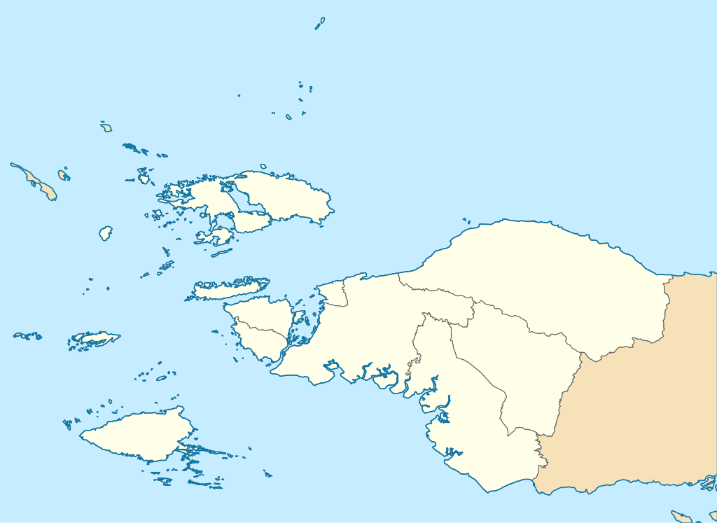
| Description | English: Location map of Southwest Papua (Papua Barat Daya), Indonesia Graticule, WGS84, Mercator, 1:5400000
|
| Date | |
| Source | Own work |
| Author | Envapid |
Licensing
I, the copyright holder of this work, hereby publish it under the following license:
This file is licensed under the Creative Commons Attribution-Share Alike 4.0 International license.
- You are free:
- to share – to copy, distribute and transmit the work
- to remix – to adapt the work
- Under the following conditions:
- attribution – You must give appropriate credit, provide a link to the license, and indicate if changes were made. You may do so in any reasonable manner, but not in any way that suggests the licensor endorses you or your use.
- share alike – If you remix, transform, or build upon the material, you must distribute your contributions under the same or compatible license as the original.
File history
Click on a date/time to view the file as it appeared at that time.
| Date/Time | Thumbnail | Dimensions | User | Comment | |
|---|---|---|---|---|---|
| current | 01:41, 2 December 2023 | | 1,894 × 1,381 (135 KB) | Envapid | Uploaded own work with UploadWizard |
File usage
There are no pages that use this file.
Global file usage
The following other wikis use this file:
- Usage on en.wikipedia.org
- Domine Eduard Osok Airport
- Asia Islands
- Sansapor Airfield
- Middleburg Airfield
- Cape Opmarai Airfield
- Inanwatan
- Teminabuan
- Suabo language
- Konda language (Papuan)
- Kalabra language
- Ayawasi Airport
- Moraid language
- Yahadian language
- Duriankari language
- Sagewin
- Werur
- Warswai River
- Bikar, Southwest Papua
- Werur Airport
- Doom Island
- Kwoor
- Ayawasi
- Soop (Southwest Papua)
- Raam (Southwest Papua)
- Warir
- Module:Location map/data/Indonesia Southwest Papua
- Module:Location map/data/Indonesia Southwest Papua/doc
- Usage on fr.wikipedia.org
- Usage on id.wikipedia.org
- Aimas, Sorong
- Kepulauan Miossu
- Pulau Fani
- Pulau Budd
- Gempa bumi Papua Barat 2009
- Keuskupan Manokwari–Sorong
- Daftar paroki di Keuskupan Manokwari–Sorong
- Bandar Udara Domine Eduard Osok
- Bahasa Abun
- Bahasa Karon Dori
- Bandar Udara Werur
- Lembah Kebar
- Bon Irau
- Bahasa Ambel
- Bandar Udara Kebar
- Pulau Warir
- Modul:Location map/data/Indonesia Papua Barat Daya
View more global usage of this file.
Metadata
Explore the world

United states
New York

Japan
Tokyo

Singapore
Singapore
