
 Français
 Italiano
Original file (SVG file, nominally 719 × 822 pixels, file size: 74 KB)
This is a file from the Wikimedia Commons and may be used by other projects. Information from its description page there is shown below. Commons is a freely licensed media file repository. |
Summary
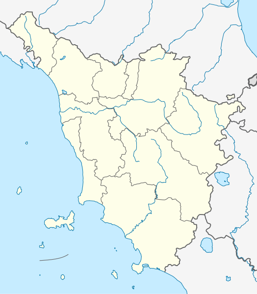
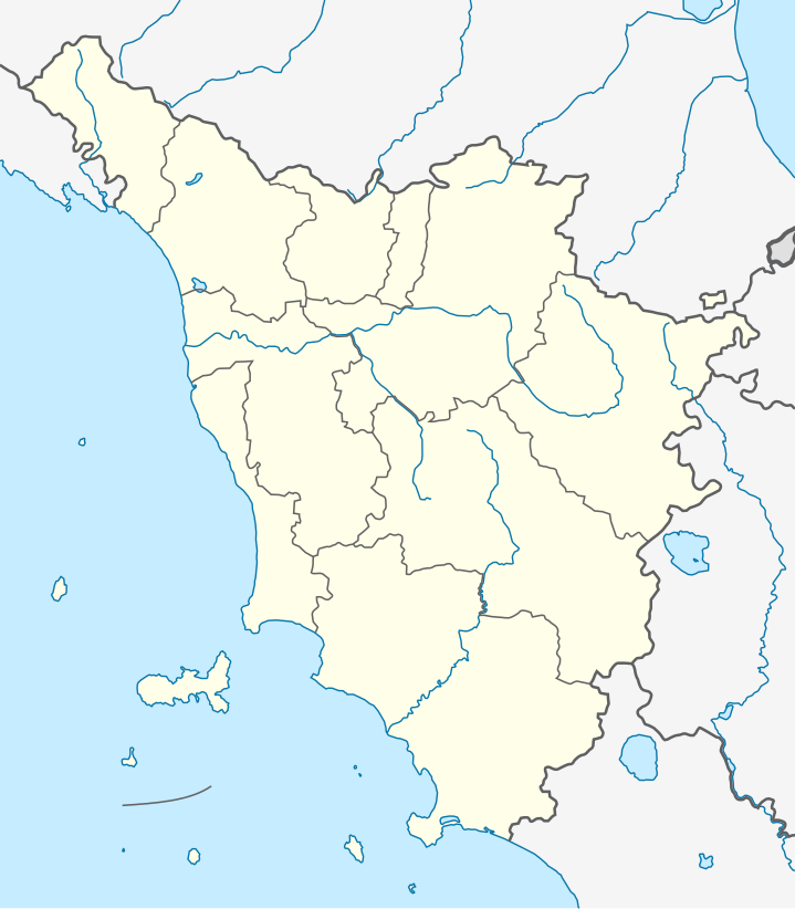
| Description | Quadratische Plattkarte, N-S-Streckung 138 %. Geographische Begrenzung der Karte:
Equirectangular projection, N/S stretching 138 %. Geographic limits of the map:
| |
| Date | ||
| Source | Own work, using
| |
| Author | NordNordWest | |
| Permission (Reusing this file) |
This file is licensed under the Creative Commons Attribution-Share Alike 3.0 Germany license.
 This file is licensed under the Creative Commons Attribution-Share Alike 3.0 Unported license.
| |
| Other versions |
|


 | This map has been made or improved in the German Kartenwerkstatt (Map Lab). You can propose maps to improve as well. |
File history
Click on a date/time to view the file as it appeared at that time.
| Date/Time | Thumbnail | Dimensions | User | Comment | |
|---|---|---|---|---|---|
| current | 08:24, 13 September 2011 | | 719 × 822 (74 KB) | NordNordWest | c |
| 18:21, 12 September 2011 |  | 719 × 822 (74 KB) | NordNordWest | =={{int:filedesc}}== {{Information |Description= {{de|Positionskarte der Toskana, Italien}} Quadratische Plattkarte, N-S-Streckung 138 %. Geographische Begrenzung der Karte: * N: 44.6° N * S: 42.2° N * W: 9.6° O * O: 12. |
File usage
There are no pages that use this file.
Global file usage
The following other wikis use this file:
- Usage on als.wikipedia.org
- Usage on ar.wikipedia.org
- Usage on azb.wikipedia.org
- لیورنو
- پیزا
- پیستویا
- ویلا کولماندینا
- ویلا بازیلیکا
- ویکیو
- ویکوپیسانو
- ترانوووا براچیولینی
- تاوارنله وال دی پسا
- ولترا
- وکیانو
- تالا
- پیوه فوسچیانا
- پیوه سانتو استفانو
- ورنیو
- پیوه ا نیووله
- کیتینیانو
- کیانی (کومونه)
- پینتزا
- پیتیلیانو
- وایلیا
- وایانو
- والی سوتو
- پیتراسانتا
- کومانو، توسکانی
- کوله دی وال دالسا
- پیانکاستانیایو
- کولسالوتی
- کازوله دالسا
- کازولا این لونیجانو
- پونساچو
- کازاله ماریتیمو
- پونته بوجانزه
- پونترمولی
- پونتدرا
- پونتاسیوه
- کارمینیانو
- پومارانچه
- کارجینه
- کورلیا آنتلمینلی
- پورکاری
- کورتونا
- پورتوفرایو
- کارارا
- پورتو آتسورو
- پودنتسانا
- کاپولیوری
View more global usage of this file.
Explore the world

United states
New York

Japan
Tokyo

Singapore
Singapore
