
 Français
 Italiano
Size of this PNG preview of this SVG file: 800 × 536 pixels. Other resolutions: 320 × 215 pixels | 640 × 429 pixels | 1,024 × 687 pixels | 1,280 × 858 pixels | 2,560 × 1,716 pixels | 974 × 653 pixels.
Original file (SVG file, nominally 974 × 653 pixels, file size: 218 KB)
This is a file from the Wikimedia Commons and may be used by other projects. Information from its description page there is shown below. Commons is a freely licensed media file repository. |
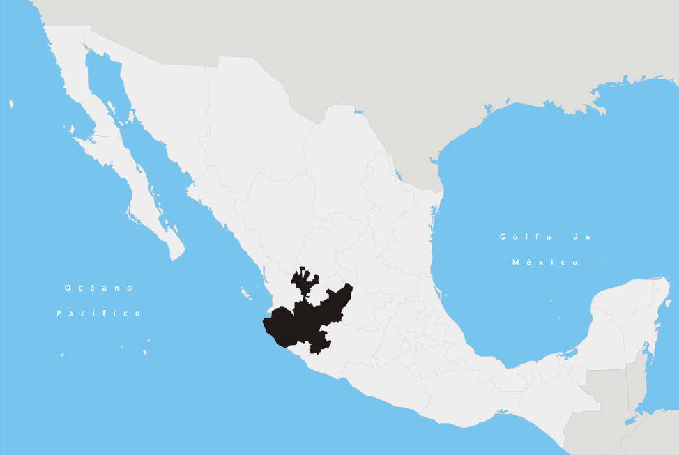
| Description | Español: Ubicación del estado de Jalisco en la República Mexicana | ||
| Date | |||
| Source | Own work | ||
| Author | Yavidaxiu | ||
| Permission (Reusing this file) |
|
File history
Click on a date/time to view the file as it appeared at that time.
| Date/Time | Thumbnail | Dimensions | User | Comment | |
|---|---|---|---|---|---|
| current | 17:37, 27 April 2007 | | 974 × 653 (218 KB) | Yavidaxiu | {{Information |Description={{es|Ubicación del estado de Jalisco en la República Mexicana}} |Source= Trabajo propio |Date= 20 de abril de 2007 |Author= Yavidaxiu |Permission= {{PD-self}} |other_versions= }} Category:Maps of Jalisco [[Category:Maps o |
File usage
There are no pages that use this file.
Global file usage
The following other wikis use this file:
- Usage on af.wikipedia.org
- Usage on cy.wikipedia.org
- Usage on en.wikipedia.org
- Guadalajara
- Puerto Vallarta
- Volcán de Colima
- Ciudad Guzmán
- Municipalities of Jalisco
- Jamay
- Ixtlahuacán del Río
- Tequila, Jalisco
- Lagos de Moreno
- Atemajac de Brizuela
- Tlaquepaque
- Yahualica de González Gallo
- Atoyac, Jalisco
- Sayula, Jalisco
- Bahía de Banderas
- Tepatitlán
- Zapopan
- Cuautla, Jalisco
- Villa Guerrero, Jalisco
- Unión de San Antonio
- Chapala, Jalisco
- Tonalá, Jalisco
- Totatiche
- Tecalitlán
- Ocotlán, Jalisco
- Chiquilistlán
- Cihuatlán
- Bolaños Municipality
- Tenamaxtlán
- Jalostotitlán
- Talpa de Allende
- Ojuelos de Jalisco
- Tamazula de Gordiano
- Arandas, Jalisco
- Amatitán
- San Sebastián del Oeste
- Jesús María, Jalisco
- Pihuamo
- Autlán
- Chimaltitán
- Mezquitic
- San Juan de los Lagos
- Encarnación de Díaz
- Guachinango, Jalisco
- San Julián, Jalisco
- La Barca Municipality
- Colotlán
View more global usage of this file.
Explore the world

United states
New York

Japan
Tokyo

Singapore
Singapore
