
 Français
 Italiano
Size of this PNG preview of this SVG file: 787 × 600 pixels. Other resolutions: 315 × 240 pixels | 630 × 480 pixels | 1,008 × 768 pixels | 1,280 × 975 pixels | 2,560 × 1,950 pixels | 1,100 × 838 pixels.
Original file (SVG file, nominally 1,100 × 838 pixels, file size: 66 KB)
This is a file from the Wikimedia Commons and may be used by other projects. Information from its description page there is shown below. Commons is a freely licensed media file repository. |
Summary
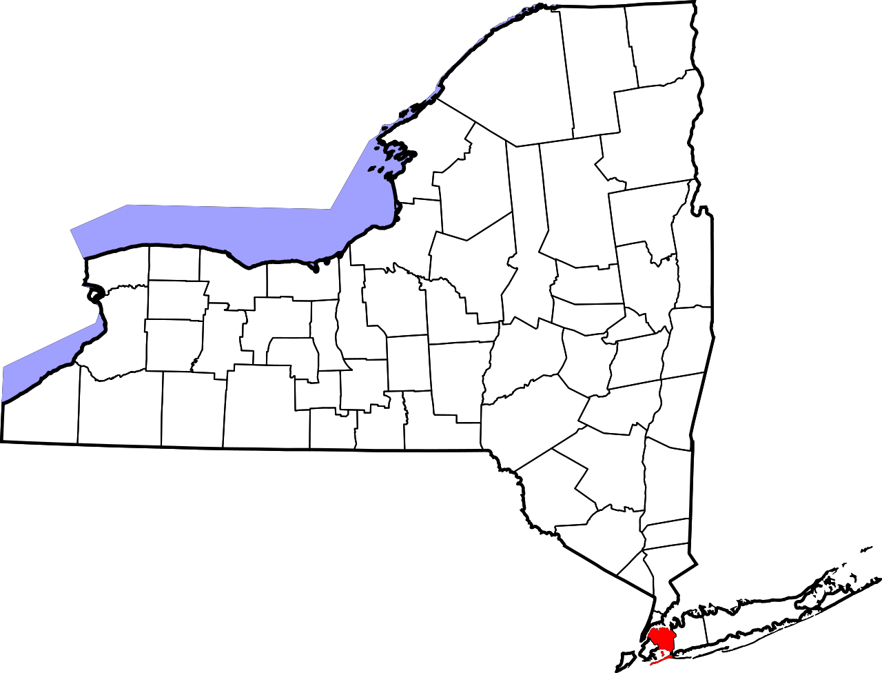
| Description | English: This is a locator map showing Queens County in New York. For more information, see Commons:United States county locator maps. |
| Date | |
| Source | Own work: English: The maps use data from nationalatlas.gov, specifically countyp020.tar.gz on the Raw Data Download page. The maps also use state outline data from statesp020.tar.gz. The Florida maps use hydrogm020.tar.gz to display Lake Okeechobee. |
| Author | David Benbennick |
Licensing
| I, the copyright holder of this work, release this work into the public domain. This applies worldwide. In some countries this may not be legally possible; if so: I grant anyone the right to use this work for any purpose, without any conditions, unless such conditions are required by law. |
File history
Click on a date/time to view the file as it appeared at that time.
| Date/Time | Thumbnail | Dimensions | User | Comment | |
|---|---|---|---|---|---|
| current | 15:26, 25 June 2024 | | 1,100 × 838 (66 KB) | Nux | uniform colors with good contrast |
| 20:27, 16 June 2024 |  | 1,650 × 1,257 (66 KB) | Nux | fix rendering (remove clipping) | |
| 15:33, 12 February 2006 |  | 6,599 × 5,030 (112 KB) | David Benbennick | {{subst:User:Dbenbenn/clm|county=Queens County|state=New York|type=county}} |
File usage
There are no pages that use this file.
Global file usage
The following other wikis use this file:
- Usage on bpy.wikipedia.org
- Usage on ca.wikipedia.org
- Usage on cy.wikipedia.org
- Usage on de.wikipedia.org
- Usage on en.wikipedia.org
- List of counties in New York
- Long Island Motor Parkway
- Queensboro Bridge
- Jackson Heights
- Rockaway Inlet
- Flushing–Main Street station (IRT Flushing Line)
- Marine Air Terminal
- Jamaica Hills, Queens
- Wikipedia:WikiProject New York City
- Reformed Church of Newtown
- Fort Totten (Queens)
- John Bowne House
- Hawtree Creek
- Bayswater, Queens
- Queens County Farm Museum
- Kaufman Astoria Studios
- National Register of Historic Places listings in Queens, New York
- Douglaston Park
- Edgemere, Queens
- Auburndale, Queens
- Ambrose Channel
- Sunnyside Gardens, Queens
- Elmhurst Avenue station
- Court Square–23rd Street station
- Flushing High School
- Jacob Riis Park
- Bergen Basin
- Locust Manor, Queens
- TWA Flight Center
- Hammels, Queens
- Long Island City Courthouse
View more global usage of this file.
Metadata
Explore the world

United states
New York

Japan
Tokyo

Singapore
Singapore
