
 Français
 Italiano
Size of this PNG preview of this SVG file: 340 × 330 pixels. Other resolutions: 247 × 240 pixels | 495 × 480 pixels | 791 × 768 pixels | 1,055 × 1,024 pixels | 2,110 × 2,048 pixels.
Original file (SVG file, nominally 340 × 330 pixels, file size: 83 KB)
This is a file from the Wikimedia Commons and may be used by other projects. Information from its description page there is shown below. Commons is a freely licensed media file repository. |
Summary
This W3C-unspecified vector image was created with Inkscape .
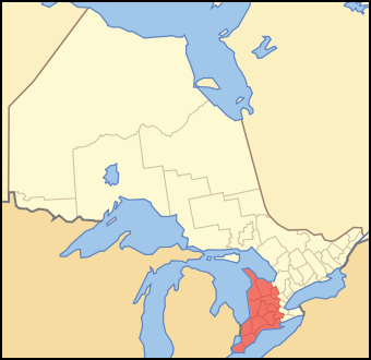
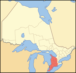
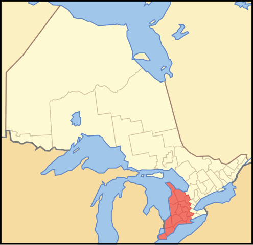
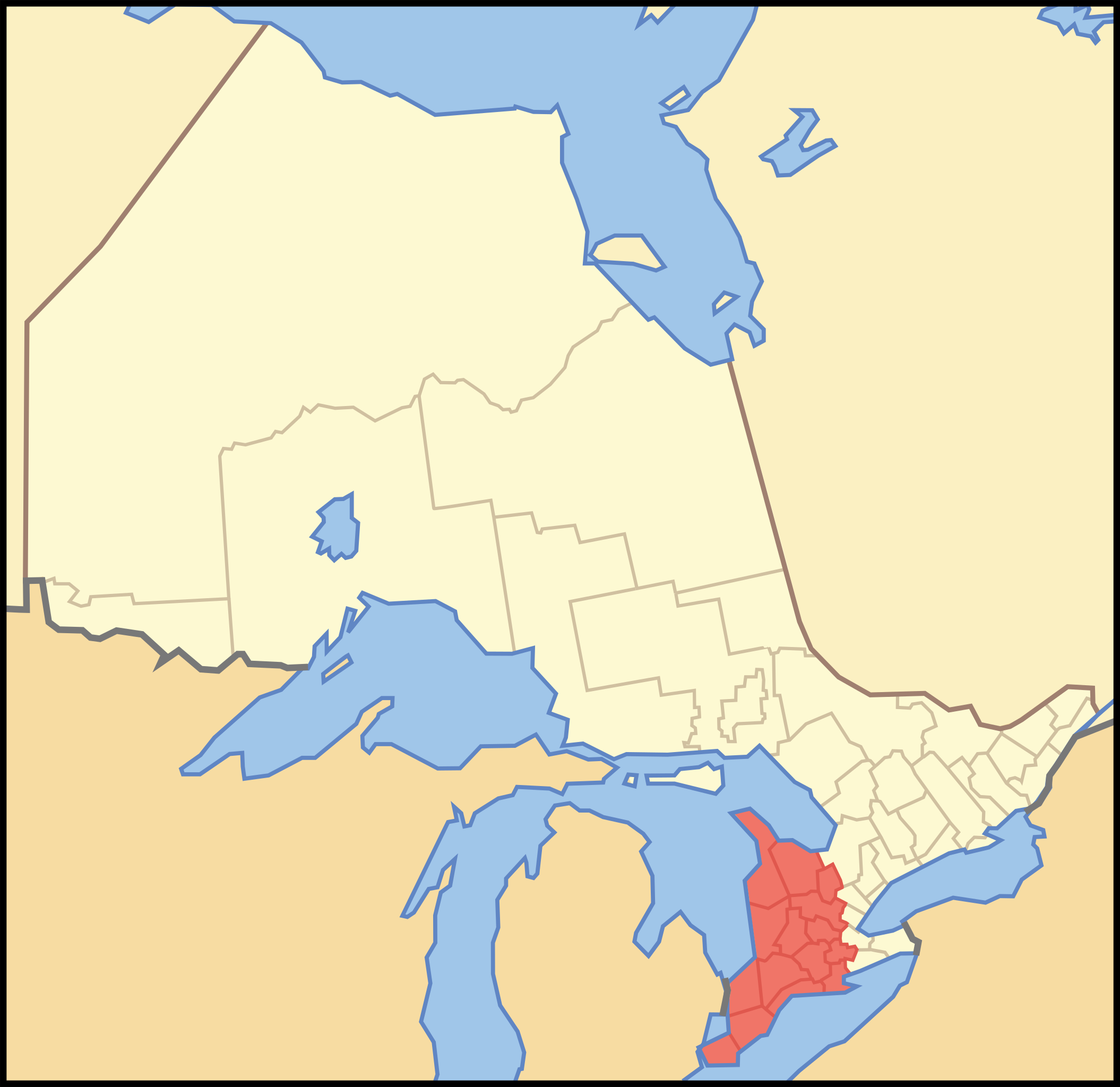
| Description | A map showing which census divisions are part of en:Southwestern Ontario |
| Date | |
| Source | Crop and trace of Image:Canada (geolocalisation).svg; trace of Image:Ontario subdivisions.PNG. |
| Author | Vidioman |
| Other versions | en:Image:Westont.PNG |
.svg)
Licensing
| I, the copyright holder of this work, release this work into the public domain. This applies worldwide. In some countries this may not be legally possible; if so: I grant anyone the right to use this work for any purpose, without any conditions, unless such conditions are required by law. |
File history
Click on a date/time to view the file as it appeared at that time.
| Date/Time | Thumbnail | Dimensions | User | Comment | |
|---|---|---|---|---|---|
| current | 12:31, 15 October 2007 | | 340 × 330 (83 KB) | Vidioman | {{Created with Inkscape}} {{Information |Description=A map showing which census divisions are part of Southwestern Ontario |Source=Crop and trace of Image:Canada (geolocalisation).svg; trace of [http://en.wikipedia.org/wiki/Image:Ontario_subdivisions |
.svg)
File usage
There are no pages that use this file.
Global file usage
The following other wikis use this file:
- Usage on en.wikipedia.org
- Georgian Bluffs
- Dawn-Euphemia
- Zurich, Ontario
- Barker's Bush
- Berkeley, Ontario
- Desboro, Ontario
- Port Maitland, Ontario
- Catfish Creek (Lake Erie, Elgin)
- Wheatley Provincial Park
- Sydenham River (Lake Huron)
- Nine Mile River (Ontario)
- Teeswater River
- Conestogo River
- Western Basin of Lake Erie
- Big Chicken Island
- Chick Island
- North Harbour Island
- Ponsonby, Ontario
- Central Huron
- Arran–Elderslie
- Rock Point Provincial Park
- Atwood, Ontario
- Allan Park, Ontario
- South Huron
- Brigden, Ontario
- Bentinck Township, Ontario
- Blytheswood, Ontario
- Template:WesternOntario-geo-stub
- Varney, Ontario
- Ayton, Ontario
- Lion's Head, Ontario
- Ferndale, Bruce County, Ontario
- Monkton, Ontario
- Shakespeare, Ontario
- Baden Hill
- Dornoch, Ontario
- Chatsworth, Ontario (former village)
- Benmiller, Ontario
- Morris-Turnberry
- Shedden, Elgin County, Ontario
- Dutton, Ontario
- Iona Station
- Niagara Escarpment Commission
- Courtland, Ontario
- Inverhuron Provincial Park
- Walpole–Algonac Ferry
- Inverhuron, Ontario
- Northern Bruce Peninsula
- Courtright, Ontario
- Carlingford, Ontario
View more global usage of this file.
Explore the world

United states
New York

Japan
Tokyo

Singapore
Singapore
