
 Français
 Italiano
Size of this PNG preview of this SVG file: 800 × 549 pixels. Other resolutions: 320 × 219 pixels | 640 × 439 pixels | 1,024 × 702 pixels | 1,280 × 878 pixels | 2,560 × 1,756 pixels | 1,127 × 773 pixels.
Original file (SVG file, nominally 1,127 × 773 pixels, file size: 238 KB)
This is a file from the Wikimedia Commons and may be used by other projects. Information from its description page there is shown below. Commons is a freely licensed media file repository. |
Summary
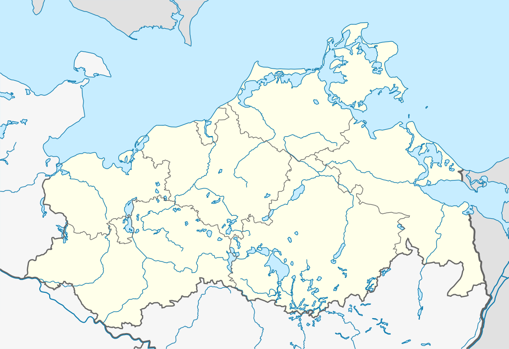
| Description | Quadratische Plattkarte, N-S-Streckung 160 %. Geographische Begrenzung der Karte:
Equirectangular projection, N/S stretching 160 %. Geographic limits of the map:
|
| Date | 12-09-2008 |
| Source | own work, using United States National Imagery and Mapping Agency data |
| Author | NordNordWest |
| Other versions |
|

_location_map.svg)
 | This map has been made or improved in the German Kartenwerkstatt (Map Lab). You can propose maps to improve as well. |
Licensing
I, the copyright holder of this work, hereby publish it under the following licenses:
 | Permission is granted to copy, distribute and/or modify this document under the terms of the GNU Free Documentation License, Version 1.2 or any later version published by the Free Software Foundation; with no Invariant Sections, no Front-Cover Texts, and no Back-Cover Texts. A copy of the license is included in the section entitled GNU Free Documentation License. |
This file is licensed under the Creative Commons Attribution-Share Alike 3.0 Unported license.
- You are free:
- to share – to copy, distribute and transmit the work
- to remix – to adapt the work
- Under the following conditions:
- attribution – You must give appropriate credit, provide a link to the license, and indicate if changes were made. You may do so in any reasonable manner, but not in any way that suggests the licensor endorses you or your use.
- share alike – If you remix, transform, or build upon the material, you must distribute your contributions under the same or compatible license as the original.
You may select the license of your choice.
File history
Click on a date/time to view the file as it appeared at that time.
| Date/Time | Thumbnail | Dimensions | User | Comment | |
|---|---|---|---|---|---|
| current | 15:39, 3 September 2011 | | 1,127 × 773 (238 KB) | NordNordWest | . |
| 15:37, 3 September 2011 |  | 1,127 × 773 (247 KB) | NordNordWest | upd | |
| 19:06, 18 March 2009 |  | 1,129 × 775 (324 KB) | NordNordWest | + Flüsse | |
| 08:19, 12 September 2008 |  | 1,129 × 775 (277 KB) | NordNordWest | {{Information |Description= {{de|Positionskarte von Mecklenburg-Vorpommern, Deutschland}} Quadratische Plattkarte, N-S-Streckung 160 %. Geographische Begrenzung der Karte: * N: 54.8° N * S: 53.0° N * W: |
File usage
There are no pages that use this file.
Global file usage
The following other wikis use this file:
- Usage on ar.wikipedia.org
- Usage on azb.wikipedia.org
- Usage on ba.wikipedia.org
- Usage on be.wikipedia.org
- Usage on bg.wikipedia.org
- Usage on ceb.wikipedia.org
- Usage on cs.wikipedia.org
- Usage on cv.wikipedia.org
- Usage on da.wikipedia.org
- Usage on de.wikipedia.org
- Mecklenburg-Vorpommern
- Bansin
- Ahlbeck (Heringsdorf)
- Ostseestadion
- Hochschulen in Mecklenburg-Vorpommern
- Rüterberg
- Remplin
- Naturschutzgebiet Rögnitzwiesen bei Neu Lübtheen
- Devin (Stralsund)
- Kadetrinne
- Vitense
- Leuchtturm Buk
- Zwischenlager Nord
- Groß Flotow
- Reinberg (Sundhagen)
- Flughafen Rostock-Laage
- Adamshoffnung
- Mewegen
- Marihn
- Borg (Ribnitz-Damgarten)
- Kraftwerk Rostock
- Blumenhagen (Jatznick)
- Damerow (Rollwitz)
- Klein Luckow
- Züsedom
- Torgelow-Holländerei
- Eichhorst (Friedland)
- Glienke
- Genzkow
- Roggentin (Mirow)
- Lehsen
- Leussow
- Steesow
View more global usage of this file.
Explore the world

United states
New York

Japan
Tokyo

Singapore
Singapore
