
 Français
 Italiano
Size of this PNG preview of this SVG file: 741 × 599 pixels. Other resolutions: 297 × 240 pixels | 594 × 480 pixels | 950 × 768 pixels | 1,266 × 1,024 pixels | 2,532 × 2,048 pixels | 1,988 × 1,608 pixels.
Original file (SVG file, nominally 1,988 × 1,608 pixels, file size: 82 KB)
This is a file from the Wikimedia Commons and may be used by other projects. Information from its description page there is shown below. Commons is a freely licensed media file repository. |
W3C-validity not checked.
Summary
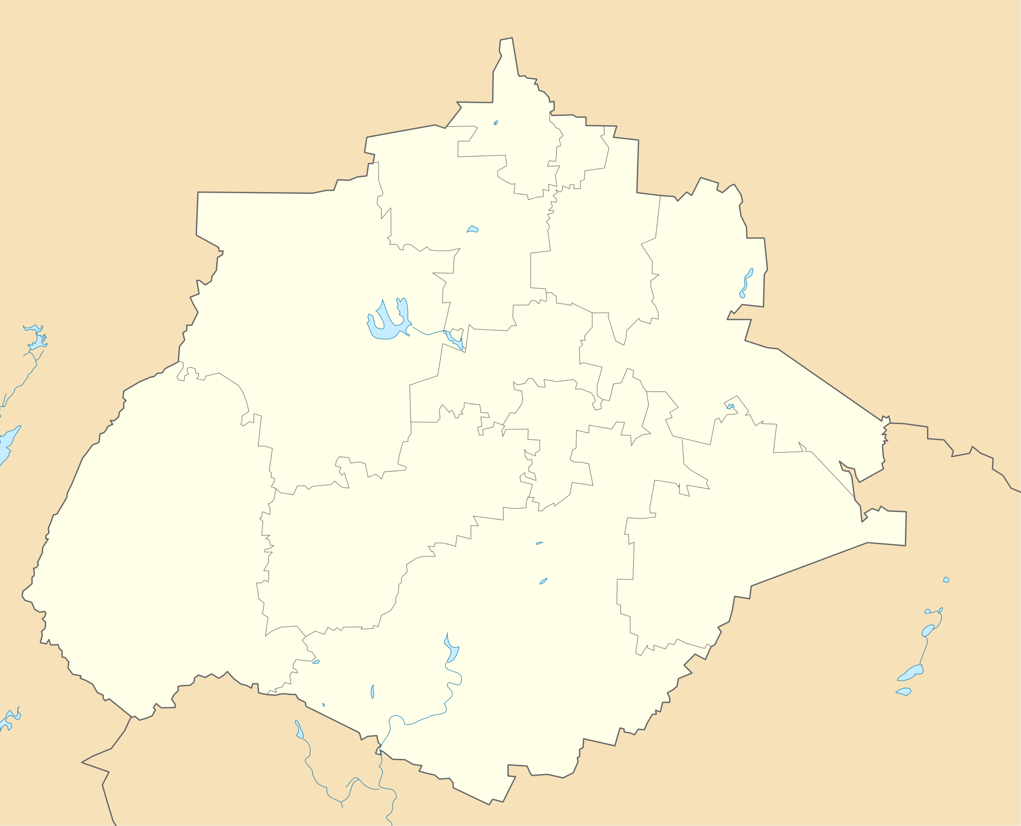
| Description | English: Location Map of Aguascalientes Equirectangular projection, Geographic limits of the map:
|
| Date | |
| Source | Own work |
| Author | Addicted04 |
Licensing
| I, the copyright holder of this work, release this work into the public domain. This applies worldwide. In some countries this may not be legally possible; if so: I grant anyone the right to use this work for any purpose, without any conditions, unless such conditions are required by law. |
File history
Click on a date/time to view the file as it appeared at that time.
| Date/Time | Thumbnail | Dimensions | User | Comment | |
|---|---|---|---|---|---|
| current | 09:01, 16 July 2011 | | 1,988 × 1,608 (82 KB) | Battroid | {{ValidSVG}} == Summary == {{Information |Description={{en|1=Location Map of Aguascalientes Equirectangular projection, Geographic limits of the map: * N: 22.50° N * S: 21.60° N * W: 102.90° W * E: 101.70° W}} |Source={{own}} | |
| 19:30, 4 January 2011 |  | 1,988 × 1,608 (82 KB) | Addicted04 | recursos hidrológicos | |
| 01:28, 4 January 2011 |  | 1,988 × 1,608 (67 KB) | Addicted04 | {{Information |Description={{en|1=Location Map of Aguascalientes Equirectangular projection, Geographic limits of the map: * N: 22.50° N * S: 21.60° N * W: 102.90° W * E: 101.70° W}} |Source={{own}} |Author=[[User:Addicted04|Add |
File usage
There are no pages that use this file.
Global file usage
The following other wikis use this file:
- Usage on ar.wikipedia.org
- Usage on ast.wikipedia.org
- Usage on ba.wikipedia.org
- Usage on bg.wikipedia.org
- Usage on ceb.wikipedia.org
- Usage on ce.wikipedia.org
- Usage on de.wikipedia.org
- Usage on en.wikipedia.org
- Calvillo
- Jesús María, Aguascalientes
- Pabellón de Arteaga
- San Francisco de los Romo
- Aguascalientes International Airport
- Palo Alto, Aguascalientes
- Module:Location map/data/Mexico Aguascalientes/doc
- Pabellón de Hidalgo
- Cosío
- Module:Location map/data/Mexico Aguascalientes
- Emiliano Zapata, Aguascalientes
- Real de Asientos
- Usage on eo.wikipedia.org
- Usage on es.wikipedia.org
- Usage on fa.wikipedia.org
- Usage on fr.wikipedia.org
View more global usage of this file.
Explore the world

United states
New York

Japan
Tokyo

Singapore
Singapore
