
 Français
 Italiano
Size of this PNG preview of this SVG file: 512 × 511 pixels. Other resolutions: 240 × 240 pixels | 481 × 480 pixels | 770 × 768 pixels | 1,026 × 1,024 pixels | 2,052 × 2,048 pixels.
Original file (SVG file, nominally 512 × 511 pixels, file size: 984 KB)
This is a file from the Wikimedia Commons and may be used by other projects. Information from its description page there is shown below. Commons is a freely licensed media file repository. |
W3C-validity not checked.
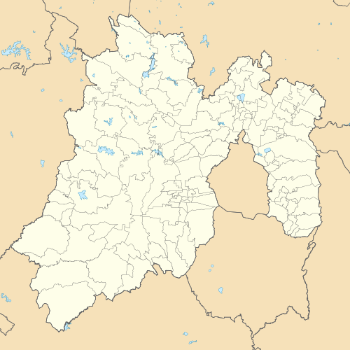
| Description | Location Map of Estado de México Equirectangular projection, Geographic limits of the map:
|
| Date | |
| Source |
|
| Author | Battroid (talk) |
I, the copyright holder of this work, hereby publish it under the following license:
| I, the copyright holder of this work, release this work into the public domain. This applies worldwide. In some countries this may not be legally possible; if so: I grant anyone the right to use this work for any purpose, without any conditions, unless such conditions are required by law. |
File history
Click on a date/time to view the file as it appeared at that time.
| Date/Time | Thumbnail | Dimensions | User | Comment | |
|---|---|---|---|---|---|
| current | 17:38, 28 April 2015 | | 512 × 511 (984 KB) | Addicted04 | New map (INEGI, 2014) |
| 08:11, 19 February 2012 |  | 2,506 × 2,504 (495 KB) | Battroid | {{ValidSVG}} {{Information |Description=Location Map of Estado de México Equirectangular projection, Geographic limits of the map: * N: 20.37° N * S: 18.26° N * W: 100.68° W * E: 98.44° W |Source={{own work}} |Date=2011-09-1 | |
| 22:31, 16 September 2011 |  | 2,506 × 2,504 (494 KB) | Battroid |
File usage
There are no pages that use this file.
Global file usage
The following other wikis use this file:
- Usage on ar.wikipedia.org
- Usage on ast.wikipedia.org
- Usage on ay.wikipedia.org
- Usage on ba.wikipedia.org
- Usage on bg.wikipedia.org
- Usage on ceb.wikipedia.org
- Usage on ce.wikipedia.org
- Usage on de.wikipedia.org
- Texcoco de Mora
- Tepexpan
- Ecatepec de Morelos
- Nezahualcóyotl (Stadt)
- Toluca de Lerdo
- Tultepec
- Wikipedia:Kartenwerkstatt/Positionskarten/Nordamerika
- Chimalhuacán
- Estadio Nemesio Díez
- Estadio Neza 86
- Paso de Cortés
- Benutzer:Gestumblindi/Fakemuseum/Kía Tutàcel
- Chalma (México)
- La Pista Lomas Verdes
- Tlapanaloya
- Vorlage:Positionskarte Mexiko México
- Santiago Tequixquiac
- Naucalpan de Juárez
- Zumpango de Ocampo
- San Juan Zitlaltepec
- Nevado de Toluca
- Amatepec
- Estadio Claudio Suárez
- Tlalmanalco de Velázquez
- Nationalpark Insurgente Miguel Hidalgo y Costilla
- Malinalco (Ort)
- El Oro de Hidalgo
- Jocotitlán (Vulkan)
- Benutzer:Afus199620/Ciudad López Mateos
- Cuautitlán Izcalli
- Benutzer:Afus199620/Cuautitlán
View more global usage of this file.
Metadata
Explore the world

United states
New York

Japan
Tokyo

Singapore
Singapore
