
 Français
 Italiano
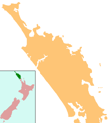
No higher resolution available.
NZ-Northland_plain_map2.png (378 × 423 pixels, file size: 12 KB, MIME type: image/png)
This is a file from the Wikimedia Commons and may be used by other projects. Information from its description page there is shown below. Commons is a freely licensed media file repository. |
 | This locator map image could be re-created using vector graphics as an SVG file. This has several advantages; see Commons:Media for cleanup for more information. If an SVG form of this image is available, please upload it and afterwards replace this template with {{vector version available|new image name}}.It is recommended to name the SVG file “NZ-Northland plain map2.svg”—then the template Vector version available (or Vva) does not need the new image name parameter. |
Summary
| Description | Locator map for Northland, New Zealand |
| Date | |
| Source | combination of Image:NZ-NI plain map.png and Image:Position of Northland.png |
| Author | Grutness, based on work by User:Gadfium |
| Permission (Reusing this file) | public domain. Copied from en:Image:NZ-Northland plain map2.png |
| Other versions | Earlier version is at Image:NZ-Northland_plain_map.png |
Licensing
| This work has been released into the public domain by its author, Grutness. This applies worldwide. In some countries this may not be legally possible; if so: |
File history
Click on a date/time to view the file as it appeared at that time.
| Date/Time | Thumbnail | Dimensions | User | Comment | |
|---|---|---|---|---|---|
| current | 23:08, 16 April 2008 | | 378 × 423 (12 KB) | Gadfium | {{Information |Description=Locator map for Northland, New Zealand |Source=combination of Image:NZ-NI plain map.png and Image:Position of Northland.png |Date=17 March 2008 |Author=Grutness, based on work by User:Gadfium |Permission=public dom |
File usage
There are no pages that use this file.
Global file usage
The following other wikis use this file:
- Usage on ar.wikipedia.org
- Usage on ceb.wikipedia.org
- Usage on en.wikipedia.org
- Whangārei
- Lake Ōmāpere
- Whangarei Airport
- Kaitaia Airport
- Rangiahua
- Kerikeri Airport
- List of schools in the Northland Region
- Taurikura
- Mount Manaia
- Mangamuka
- Omanaia
- Oromahoe
- Whirinaki, Northland
- Whangape Harbour
- Whangaroa Harbour
- Umawera
- Aranga, New Zealand
- Arapohue
- Kaihu
- Pouto Peninsula
- Module:Location map/data/New Zealand Northland/doc
- Kokopu, New Zealand
- Titoki, New Zealand
- Pakotai
- Poroti
- Purua
- Tauraroa
- Waiotira
- Whananaki
- Otiria
- Ōruawharo River
- Topuni River
- Bulrush Lake (Northland)
- Half Mile Lagoon
- Lake Half
- Lake Humuhumu
- Lake Kahuparere
- Lake Kaiwai
- Lake Kanono
- Lake Kapoai
- Lake Karaka
- Lake Karoro / Mathews
- Lake Kihona
- Lake Manuwai
- Lake Mokeno
- Lake Morehurehu
View more global usage of this file.
Explore the world

United states
New York

Japan
Tokyo

Singapore
Singapore
