
 Français
 Italiano
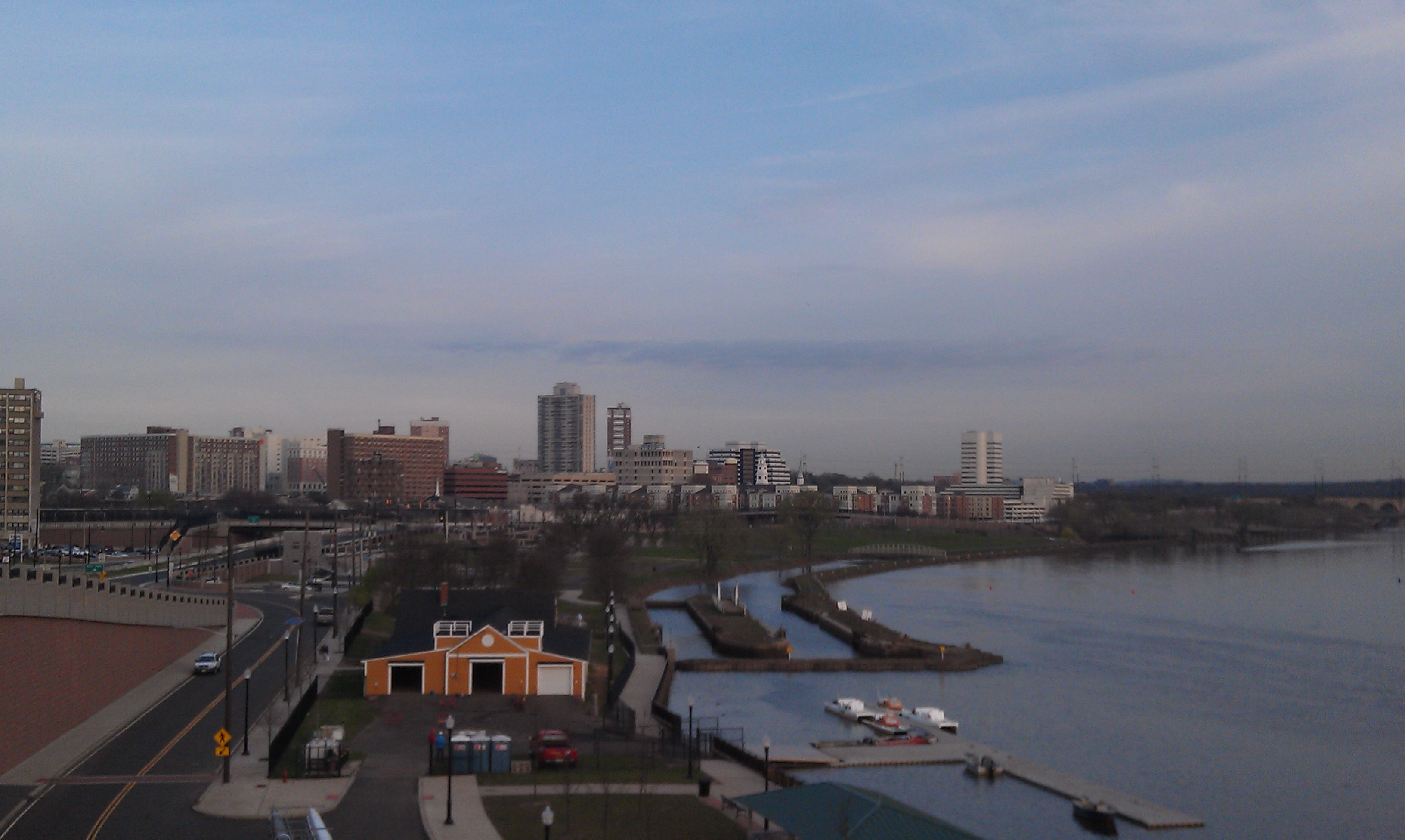
Size of this preview: 800 × 478 pixels. Other resolutions: 320 × 191 pixels | 640 × 383 pixels | 1,024 × 612 pixels | 1,280 × 765 pixels | 3,264 × 1,952 pixels.
Original file (3,264 × 1,952 pixels, file size: 980 KB, MIME type: image/jpeg)
This is a file from the Wikimedia Commons and may be used by other projects. Information from its description page there is shown below. Commons is a freely licensed media file repository. |
Summary
| Camera location | | View this and other nearby images on: OpenStreetMap |
|---|
| Description | English: The New Brunswick Skyline and Raritan River are shown as the sun rises on an early Spring morning |
| Date | |
| Source | Own work |
| Author | Lacwal12 |
Licensing
I, the copyright holder of this work, hereby publish it under the following license:
This file is licensed under the Creative Commons Attribution-Share Alike 3.0 Unported license.
- You are free:
- to share – to copy, distribute and transmit the work
- to remix – to adapt the work
- Under the following conditions:
- attribution – You must give appropriate credit, provide a link to the license, and indicate if changes were made. You may do so in any reasonable manner, but not in any way that suggests the licensor endorses you or your use.
- share alike – If you remix, transform, or build upon the material, you must distribute your contributions under the same or compatible license as the original.
File history
Click on a date/time to view the file as it appeared at that time.
| Date/Time | Thumbnail | Dimensions | User | Comment | |
|---|---|---|---|---|---|
| current | 21:58, 24 March 2012 | | 3,264 × 1,952 (980 KB) | Lacwal12 |
File usage
There are no pages that use this file.
Global file usage
The following other wikis use this file:
- Usage on en.wikipedia.org
- Rutgers University
- New Brunswick, New Jersey
- Johnson & Johnson
- Raritan River
- Willow Grove Cemetery, New Brunswick
- Robert Wood Johnson Medical School
- Rutgers Cancer Institute of New Jersey
- Template:New Brunswick, New Jersey
- State Theatre (New Brunswick, New Jersey)
- Zimmerli Art Museum at Rutgers University
- Henry Guest House
- New Brunswick Public Schools
- Robert Wood Johnson University Hospital
- The Bristol-Myers Squibb Children's Hospital
- New Jersey Folk Festival
- The Frog and the Peach
- Saint Peter's University Hospital
- George Street Co-op
- Rutgers University–New Brunswick
- The Gateway (New Brunswick, New Jersey)
- Saint Peter's Healthcare System
- Westons Mills, New Jersey
- New Brunswick Free Public Library
- Civic Square, New Brunswick
- Livingston Avenue Historic District
- Magyar Bank
- New Brunswick Performing Arts Center
- User:Djflem/NB tallest
- HELIX (New Brunswick, New Jersey)
- Rutgers Film Co-op/New Jersey Media Arts Center
- Usage on fi.wikipedia.org
- Usage on it.wikipedia.org
- Usage on ja.wikipedia.org
- Usage on sw.wikipedia.org
Metadata
Explore the world

United states
New York

Japan
Tokyo

Singapore
Singapore
