
 Français
 Italiano
Size of this PNG preview of this SVG file: 135 × 103 pixels. Other resolutions: 315 × 240 pixels | 629 × 480 pixels | 1,007 × 768 pixels | 1,280 × 977 pixels | 2,560 × 1,953 pixels.
Original file (SVG file, nominally 135 × 103 pixels, file size: 10 KB)
This is a file from the Wikimedia Commons and may be used by other projects. Information from its description page there is shown below. Commons is a freely licensed media file repository. |
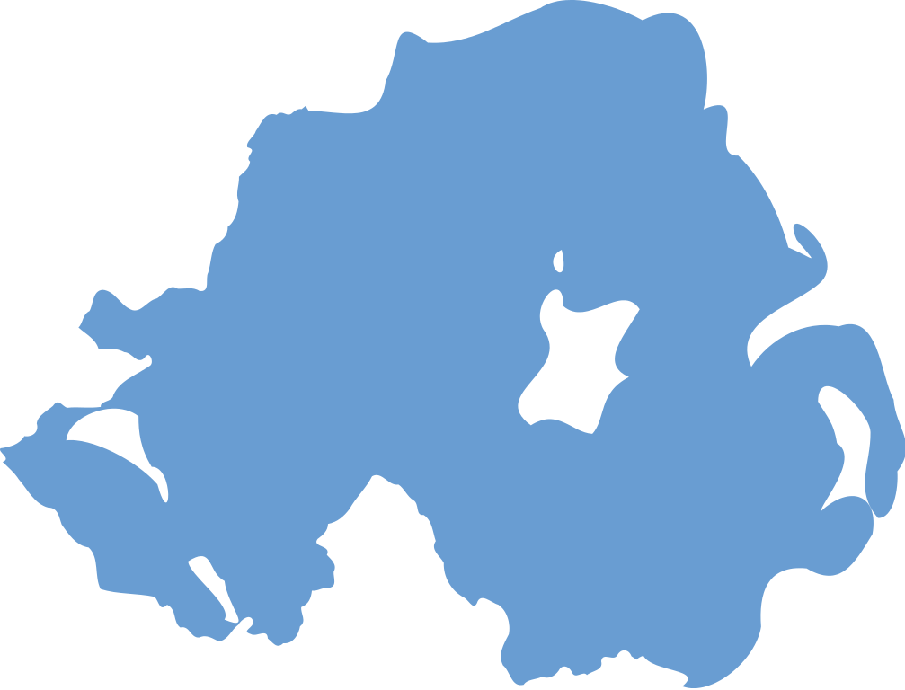
| Description | Blue outline of Northern Ireland |
| Date | |
| Source | Inspired by en:Image:Northern Ireland outline in blue.png, actual authorship from Image:Celtic Nations.svg |
| Author | Layout by User:Stannered, idea by en:User:Keithgreer, work by User:Nickshanks |
| Permission (Reusing this file) | CC-BY-SA originals |
| Other versions | en:Image:Northern Ireland outline in blue.png |
This file is licensed under the Creative Commons Attribution-Share Alike 2.5 Generic license.
- You are free:
- to share – to copy, distribute and transmit the work
- to remix – to adapt the work
- Under the following conditions:
- attribution – You must give appropriate credit, provide a link to the license, and indicate if changes were made. You may do so in any reasonable manner, but not in any way that suggests the licensor endorses you or your use.
- share alike – If you remix, transform, or build upon the material, you must distribute your contributions under the same or compatible license as the original.
File history
Click on a date/time to view the file as it appeared at that time.
| Date/Time | Thumbnail | Dimensions | User | Comment | |
|---|---|---|---|---|---|
| current | 03:08, 10 December 2010 | | 135 × 103 (10 KB) | Fry1989 | more detailed map |
| 12:58, 7 April 2007 |  | 175 × 140 (36 KB) | Stannered | replacing with more detailed version | |
| 12:54, 7 April 2007 |  | 175 × 140 (37 KB) | Stannered | {{Information |Description=Blue outline of Northern Ireland |Source=Inspired by en:Image:Northern Ireland outline in blue.png, actual authorship from Image:Celtic Nations.svg |Date=2007-04-07 |Author=Traced by User:Stannered |Permission=CC-B |
File usage
There are no pages that use this file.
Global file usage
The following other wikis use this file:
- Usage on az.wikipedia.org
- Şotlandiya
- Uels
- Şimali İrlandiya
- Şablon:Böyük Britaniyanın inzibati bölgüsü
- Birləşmiş Krallıq
- Angilya
- Bermud adaları
- Akrotiri və Dekeliya
- Yüksəliş adası
- Cersi
- Folklend adaları
- Gernsi
- Kayman adaları
- Müqəddəs Yelena adası
- Montserrat
- Men adası
- Portadaun FK
- Şablon:Şimali İrlandiya-qaralama
- Belfast
- Cənubi Georgiya və Cənubi Sendviç adaları
- Böyük Britaniyanın dəniz əraziləri
- Taxt-tac əraziləri
- Tristan-da-Kunya
- Törks və Kaykos adaları
- Britaniya Vircin adaları
- Böyük Britaniya və Şimali İrlandiya Birləşmiş Krallığının dövlət və siyasi sistemi
- Britaniya Hind okeanı əraziləri
- İngiltərə
- Azərbaycan–Şimali İrlandiya münasibətləri
- Usage on en.wikipedia.org
View more global usage of this file.
Explore the world

United states
New York

Japan
Tokyo

Singapore
Singapore
