
 Français
 Italiano
Size of this PNG preview of this SVG file: 377 × 599 pixels. Other resolutions: 151 × 240 pixels | 302 × 480 pixels | 483 × 768 pixels | 644 × 1,024 pixels | 1,288 × 2,048 pixels | 458 × 728 pixels.
Original file (SVG file, nominally 458 × 728 pixels, file size: 97 KB)
This is a file from the Wikimedia Commons and may be used by other projects. Information from its description page there is shown below. Commons is a freely licensed media file repository. |
| This Canadian work is in the public domain worldwide because it was subject to Crown copyright and was first published before December 31, 1974. According to Public Works and Government Services Canada / Travaux publics et Services gouvernementaux Canada, Canada has no intention of renewing expired Crown Copyright works in any country, and consequently the URAA does not apply. An email is on record at ticket:2013122310013986. |  | |
|
| ||
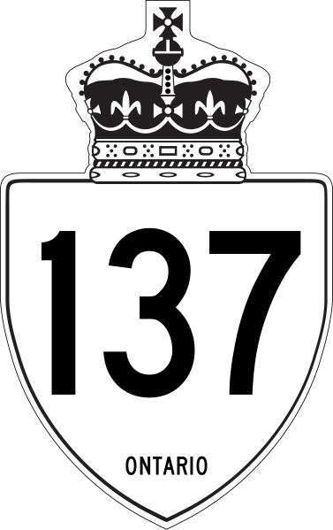
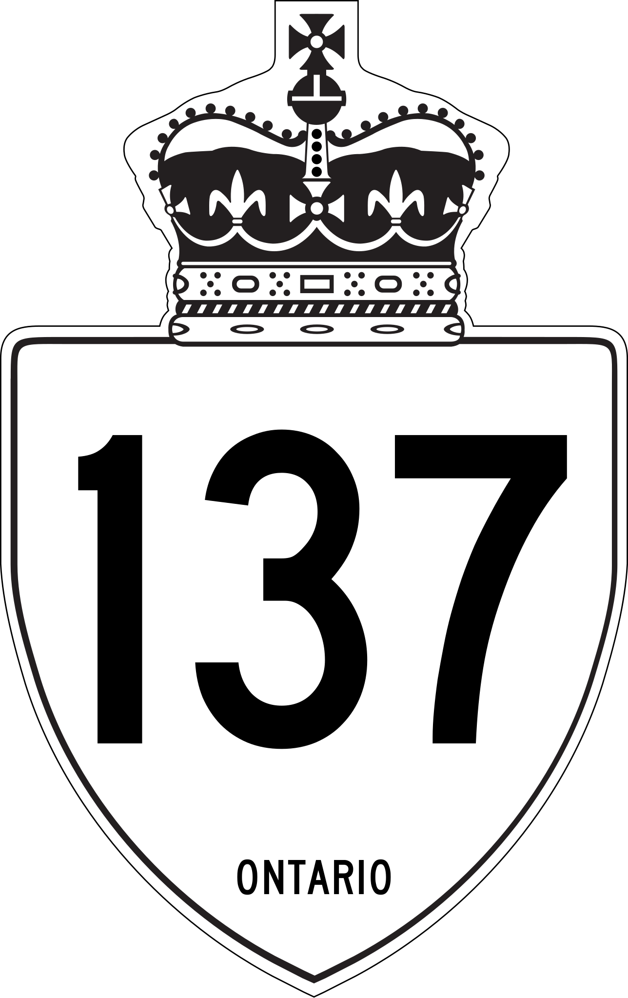
This is a rough approximation of the marker used on King's Highways in Ontario, modified from Image:Ontario Junction template.svg.
File history
Click on a date/time to view the file as it appeared at that time.
| Date/Time | Thumbnail | Dimensions | User | Comment | |
|---|---|---|---|---|---|
| current | 18:03, 27 April 2019 | | 458 × 728 (97 KB) | Fredddie | redrawn |
| 20:21, 1 February 2010 |  | 210 × 340 (104 KB) | Floydian | update to newer version, old version moved to File:Ontario 137 jct.svg | |
| 20:39, 10 September 2007 |  | 289 × 289 (7 KB) | NE2 | {{PD-ineligible}} This is a rough approximation of the marker used on King's Highways in Ontario, modified from Image:Ontario Junction template.svg. 137 |
File usage
The following 3 pages use this file:
Global file usage
The following other wikis use this file:
- Usage on de.wikipedia.org
- Usage on en.wikipedia.org
- Ontario Highway 138
- Ontario Highway 137
- List of crossings of the St. Lawrence River and the Great Lakes
- List of highways numbered 137
- Ontario Highway 132
- List of Ontario provincial highways
- Ontario Highway 136
- National Highway System (Canada)
- User:Floydian/To do
- User:Tcer99/sandbox/ONRoads/List of numbered roads in Leeds and Grenville United Counties
- List of controlled-access highways in Ontario
- Usage on es.wikipedia.org
- Usage on fr.wikipedia.org
- Usage on it.wikipedia.org
- Usage on nl.wikipedia.org
- Usage on pt.wikipedia.org
- Usage on ru.wikipedia.org
- Usage on simple.wikipedia.org
- Usage on sv.wikipedia.org
- Usage on vi.wikipedia.org
- Usage on zh.wikipedia.org
Metadata
Explore the world

United states
New York

Japan
Tokyo

Singapore
Singapore
