
 Français
 Italiano
Size of this PNG preview of this SVG file: 414 × 599 pixels. Other resolutions: 166 × 240 pixels | 332 × 480 pixels | 531 × 768 pixels | 707 × 1,024 pixels | 1,415 × 2,048 pixels | 512 × 741 pixels.
Original file (SVG file, nominally 512 × 741 pixels, file size: 180 KB)
This is a file from the Wikimedia Commons and may be used by other projects. Information from its description page there is shown below. Commons is a freely licensed media file repository. |
Summary
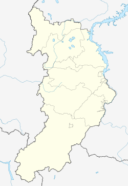
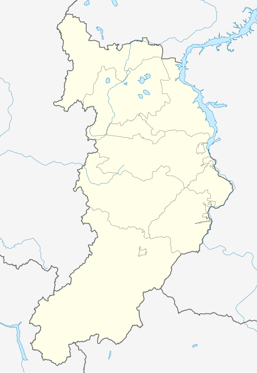
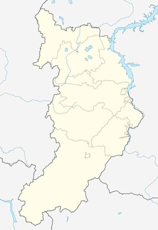
| Description | Русский: Позиционная карта Республики Хакасия
|top = 55.6 |bottom = 51.2 |left = 87.3 |right = 92.4 |
| Date | |
| Source | Own work This W3C-unspecified vector image was created with Inkscape .
|
| Author | |
| Other versions | [] |


Licensing
| I, the copyright holder of this work, release this work into the public domain. This applies worldwide. In some countries this may not be legally possible; if so: I grant anyone the right to use this work for any purpose, without any conditions, unless such conditions are required by law. |
File history
Click on a date/time to view the file as it appeared at that time.
| Date/Time | Thumbnail | Dimensions | User | Comment | |
|---|---|---|---|---|---|
| current | 14:51, 12 September 2010 | | 512 × 741 (180 KB) | Виктор В | == {{int:filedesc}} == {{Information |Description={{ru|1=Позиционная карта Республики Хакасия *Проекция — равноугольная. *Стандартная параллель — 53°24′00″с.ш. *Пара� |
File usage
There are no pages that use this file.
Global file usage
The following other wikis use this file:
- Usage on af.wikipedia.org
- Usage on ar.wikipedia.org
- Usage on azb.wikipedia.org
- Usage on az.wikipedia.org
- Usage on ba.wikipedia.org
- Usage on be.wikipedia.org
- Usage on bg.wikipedia.org
- Usage on ceb.wikipedia.org
- Usage on ce.wikipedia.org
- Абакан
- Аршаново
- Бели Яр (Хакаси)
- Березовка (Хакаси)
- Герасимово (Хакаси)
- Изыхские Копи
- Кайбалы
- Краснополье (Хакаси)
- Летник (Хакаси)
- Лукьяновка (Хакаси)
- Монастырка (Хакаси)
- Новомихайловка (Хакаси)
- Новороссийски (Хакаси)
- Очуры
- Подсинее
- Сартыков
- Смирновка (Хакаси)
- Хызыл-Салда
- Алтай (Хакаси)
- Кирово (Алтайн кӀошт)
- Кеп:Меттиган карта Росси Хакаси
View more global usage of this file.
Explore the world

United states
New York

Japan
Tokyo

Singapore
Singapore
