
 Français
 Italiano
Size of this PNG preview of this SVG file: 800 × 536 pixels. Other resolutions: 320 × 215 pixels | 640 × 429 pixels | 1,024 × 687 pixels | 1,280 × 858 pixels | 2,560 × 1,716 pixels | 974 × 653 pixels.
Original file (SVG file, nominally 974 × 653 pixels, file size: 262 KB)
This is a file from the Wikimedia Commons and may be used by other projects. Information from its description page there is shown below. Commons is a freely licensed media file repository. |
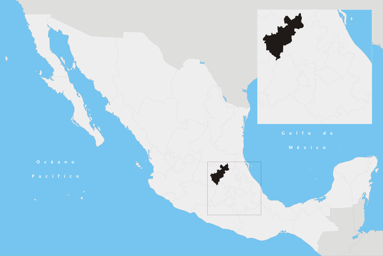
| Description | Español: Ubicación del estado de Querétaro Arteaga en la República Mexicana | ||
| Date | |||
| Source | Own work | ||
| Author | Yavidaxiu | ||
| Permission (Reusing this file) |
|
America es mas mejor que chivas porque les ganan.
| Annotations | This image is annotated: View the annotations at Commons |
File history
Click on a date/time to view the file as it appeared at that time.
| Date/Time | Thumbnail | Dimensions | User | Comment | |
|---|---|---|---|---|---|
| current | 01:22, 21 April 2007 | | 974 × 653 (262 KB) | Yavidaxiu | {{Information |Description={{es|Ubicación del estado de Querétaro Arteaga en la República Mexicana}} |Source= Trabajo propio |Date= 20 de abril de 2007 |Author= Yavidaxiu |Permission= {{PD-self}} |other_versions= }} Category:Maps of Queretaro [[Ca |
File usage
There are no pages that use this file.
Global file usage
The following other wikis use this file:
- Usage on af.wikipedia.org
- Usage on br.wikipedia.org
- Usage on cy.wikipedia.org
- Usage on en.wikipedia.org
- Gudiños
- Ing. Fernando Espinoza Gutiérrez International Airport
- Tequisquiapan
- Peña de Bernal
- San Juan del Río
- Ezequiel Montes, Querétaro
- Tolimán, Querétaro
- Amealco de Bonfil
- Pinal de Amoles
- Arroyo Seco, Querétaro
- Cadereyta de Montes
- Franciscan Missions in the Sierra Gorda of Querétaro
- El Marqués
- Colón, Querétaro
- Huimilpan
- Landa de Matamoros
- Pedro Escobedo
- Peñamiller
- Querétaro Intercontinental Airport
- Corregidora Municipality
- Valle de Guadalupe, Querétaro
- Template:Querétaro-geo-stub
- Wikipedia:WikiProject Mexico/State templates
- Template:Querétaro
- Saldarriaga
- Chichimequillas
- Urecho
- Apapátaro
- Tlacote el Bajo
- Amealco de Bonfil Municipality
- Pinal de Amoles Municipality
- Arroyo Seco Municipality
- Cadereyta de Montes Municipality
- Ezequiel Montes Municipality
- Colón Municipality, Querétaro
- Huimilpan Municipality
- Tequisquiapan Municipality
- Tolimán Municipality, Querétaro
- Landa de Matamoros Municipality
- Pedro Escobedo Municipality
- San Joaquín Municipality, Querétaro
- Peñamiller Municipality
- San Juan del Río Municipality, Querétaro
- User:Cobblet/Watched pages
- Tlacote el Alto
- Module:Location map/data/Mexico Querétaro
View more global usage of this file.
Explore the world

United states
New York

Japan
Tokyo

Singapore
Singapore
