
 Français
 Italiano
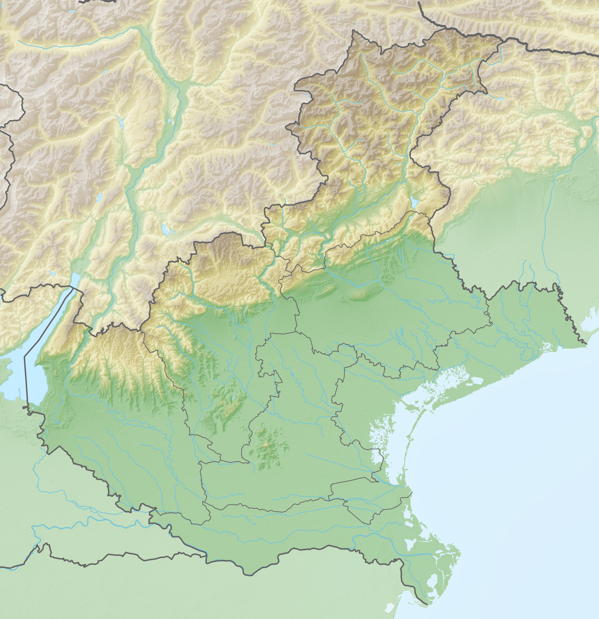
Size of this preview: 580 × 599 pixels. Other resolutions: 232 × 240 pixels | 464 × 480 pixels | 743 × 768 pixels | 991 × 1,024 pixels | 2,024 × 2,092 pixels.
Original file (2,024 × 2,092 pixels, file size: 4.91 MB, MIME type: image/png)
This is a file from the Wikimedia Commons and may be used by other projects. Information from its description page there is shown below. Commons is a freely licensed media file repository. |
Summary
| Description | Deutsch: Positionskarte von Venetien (Italien) English: Location map of Veneto region (Italy) Español: Mapa de localización de la Región de Véneto (Italia). Equirectangular projection, N/S stretching 115 %. Geographic limits of the map:
|
| Date | |
| Source | Own work |
| Author | Tschubby |
Licensing
I, the copyright holder of this work, hereby publish it under the following licenses:
 | Permission is granted to copy, distribute and/or modify this document under the terms of the GNU Free Documentation License, Version 1.2 or any later version published by the Free Software Foundation; with no Invariant Sections, no Front-Cover Texts, and no Back-Cover Texts. A copy of the license is included in the section entitled GNU Free Documentation License. |
This file is licensed under the Creative Commons Attribution-Share Alike 3.0 Unported license.
- You are free:
- to share – to copy, distribute and transmit the work
- to remix – to adapt the work
- Under the following conditions:
- attribution – You must give appropriate credit, provide a link to the license, and indicate if changes were made. You may do so in any reasonable manner, but not in any way that suggests the licensor endorses you or your use.
- share alike – If you remix, transform, or build upon the material, you must distribute your contributions under the same or compatible license as the original.
You may select the license of your choice.
File history
Click on a date/time to view the file as it appeared at that time.
| Date/Time | Thumbnail | Dimensions | User | Comment | |
|---|---|---|---|---|---|
| current | 08:32, 24 April 2019 | | 2,024 × 2,092 (4.91 MB) | Tschubby | == {{int:filedesc}} == {{Information |description={{de|Positionskarte von Venetien (Italien)}}{{en|Location map of Veneto region (Italy)}}{{es|1=Mapa de localización de la Región de Véneto (Italia).}} Equirectangular projection, N/S stretching 115 %. Geographic limits of the map: * N: 46.7720722° N * S: 44.7478472° N * W: 10.5250083° E * E: 13.1550555° E Topographischer Hintergrund: [http://www2.jpl.nasa.gov/srtm NASA Shuttle Radar Topography Mis... |
File usage
There are no pages that use this file.
Global file usage
The following other wikis use this file:
- Usage on als.wikipedia.org
- Usage on be.wikipedia.org
- Usage on bg.wikipedia.org
- Венеция
- Посаньо
- Калдоньо
- Йезоло
- Гадзо
- Падуански университет
- Есте
- Падуа
- Тревизо
- Теоло
- Верона
- Конеляно
- Сан Вендемиано
- Виченца
- Одерцо
- Пескиера дел Гарда
- Белуно
- Ровиго
- Адрия
- Скио
- Абано Терме
- Кортина д'Ампецо
- Конкордия Саджитария
- Киоджа
- Риалто
- Шаблон:ПК Италия Венето
- Дуе Караре
- Фелтре
- Седико
- Понте неле Алпи
- Санта Джустина
- Мел
- Лонгароне
- Лимана
- Трикиана
- Педавена
- Агордо
- Чезиомаджоре
- Пиеве ди Кадоре
- Ауронцо ди Кадоре
- Куеро Вас
- Фонцазо
- Соспироло
- Лентиай
- Ламон
- Алано ди Пиаве
- Фара д'Алпаго
- Санто Стефано ди Кадоре
View more global usage of this file.
Metadata
Explore the world

United states
New York

Japan
Tokyo

Singapore
Singapore
