
 Français
 Italiano
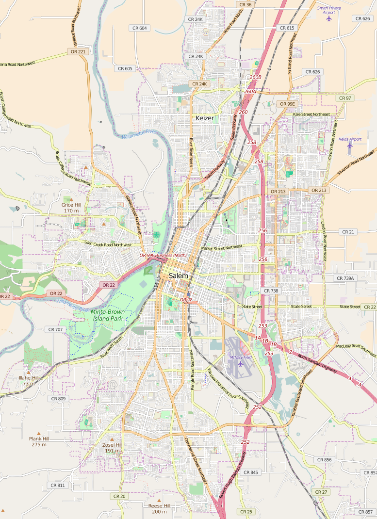
Size of this preview: 435 × 599 pixels. Other resolutions: 174 × 240 pixels | 348 × 480 pixels | 777 × 1,070 pixels.
Original file (777 × 1,070 pixels, file size: 748 KB, MIME type: image/png)
This is a file from the Wikimedia Commons and may be used by other projects. Information from its description page there is shown below. Commons is a freely licensed media file repository. |
| Description | Map of Salem, Oregon This map of Salem was created from OpenStreetMap project data, collected by the community. This map may be incomplete, and may contain errors. Don't rely solely on it for navigation. | |||||||||
| Date | ||||||||||
| Source | You may find a page on the OpenStreetMap wiki page for Salem | |||||||||
| Creator | OpenStreetMap contributors OpenStreetMap contributors | |||||||||
| Permission (Reusing this file) | OpenStreetMap data is available under the Open Database License (details). Map tiles are licensed under the Creative Commons Attribution-ShareAlike 2.0 license (CC-BY-SA 2.0).
This file is licensed under the Creative Commons Attribution-Share Alike 2.0 Generic license.
| |||||||||
| Geotemporal data | ||||||||||
| Bounding box |
| |||||||||
| Georeferencing | If inappropriate please set warp_status = skip to hide. | |||||||||
File history
Click on a date/time to view the file as it appeared at that time.
| Date/Time | Thumbnail | Dimensions | User | Comment | |
|---|---|---|---|---|---|
| current | 01:03, 12 April 2016 | | 777 × 1,070 (748 KB) | Tagishsimon | amend bounds of map |
| 00:20, 12 April 2016 |  | 778 × 869 (662 KB) | Tagishsimon | {{OpenStreetMap | name = Salem | location = Salem | description = Map of Salem, Oregon | top = 45.0048 | bottom = 44.8534 | left = -123.1231 | right = -122.9312 | date = 2016-04-12 | au... |
File usage
There are no pages that use this file.
Global file usage
The following other wikis use this file:
- Usage on ar.wikipedia.org
- Usage on en.wikipedia.org
- Willamette Heritage Center
- Volcanoes Stadium
- Oregon State Capitol
- Pacific Building (Salem, Oregon)
- Old West Salem City Hall
- Mahonia Hall
- Wikipedia:WikiProject Oregon/Graphics
- Waller Hall
- Hallie Ford Museum of Art
- A. C. Gilbert's Discovery Village
- Capitol Center (Salem, Oregon)
- Union Street Railroad Bridge
- Oregon Civic Justice Center
- Edward W. St. Pierre House
- Boon Brick Store
- Oregon State Forester's Office Building
- Adolph Block
- Curtis Cross House
- Marion County Housing Committee Demonstration House
- Carl E. Nelson House
- Module:Location map/data/USA Oregon Salem
- Module:Location map/data/USA Oregon Salem/doc
- Wikipedia talk:WikiProject Oregon/Archive 26
- Usage on eo.wikipedia.org
- Usage on fr.wikipedia.org
- Usage on si.wikipedia.org
Explore the world

United states
New York

Japan
Tokyo

Singapore
Singapore
