
 Français
 Italiano
Size of this PNG preview of this SVG file: 315 × 599 pixels. Other resolutions: 126 × 240 pixels | 252 × 480 pixels | 404 × 768 pixels | 538 × 1,024 pixels | 1,077 × 2,048 pixels | 832 × 1,582 pixels.
Original file (SVG file, nominally 832 × 1,582 pixels, file size: 1.63 MB)
This is a file from the Wikimedia Commons and may be used by other projects. Information from its description page there is shown below. Commons is a freely licensed media file repository. |
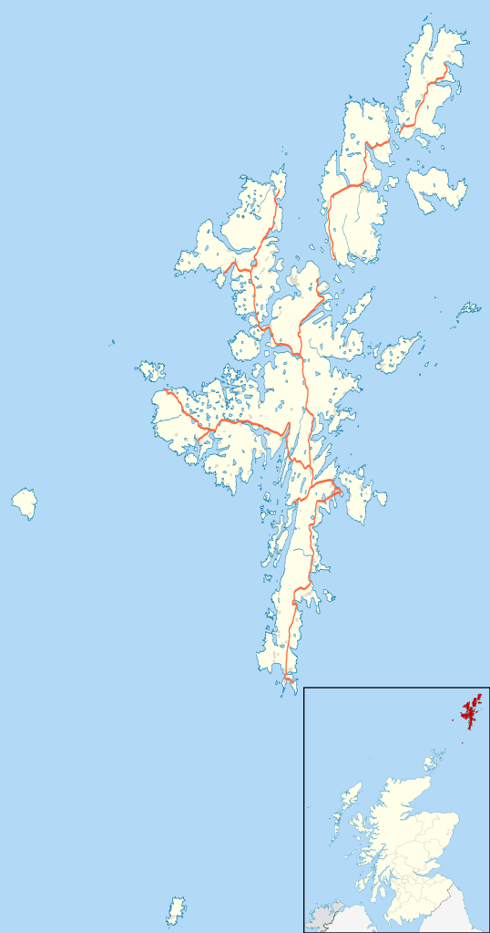
| Description | Blank map of the Shetland Islands, UK with the following information shown:
Equirectangular map projection on WGS 84 datum, with N/S stretched 200% Geographic limits:
|
| Date | |
| Source |
|
| Author | Nilfanion, created using Ordnance Survey data |
| Permission (Reusing this file) | This file is licensed under the Creative Commons Attribution-Share Alike 3.0 Unported license. Attribution: Contains Ordnance Survey data © Crown copyright and database right
|
| Other versions | File:Shetland UK blank map.svg - Blank map |
File history
Click on a date/time to view the file as it appeared at that time.
| Date/Time | Thumbnail | Dimensions | User | Comment | |
|---|---|---|---|---|---|
| current | 20:25, 26 September 2010 | | 832 × 1,582 (1.63 MB) | Nilfanion | {{Information |Description=Blank map of the Shetland Islands, UK with the following information shown: *Administrative borders *Coastline, lakes and rivers *Roads and railways *Urban areas Equirectangular map projection on WGS 84 d |
File usage
There are no pages that use this file.
Global file usage
The following other wikis use this file:
- Usage on ar.wikipedia.org
- Usage on be-tarask.wikipedia.org
- Usage on bg.wikipedia.org
- Usage on ceb.wikipedia.org
- Usage on de.wikipedia.org
- Usage on en.wikipedia.org
- Shetland
- Lerwick
- Jarlshof
- RRH Saxa Vord
- Broch of Mousa
- Broch of Clickimin
- Sumburgh Airport
- Skaw, Unst
- Grutness
- Twatt, Shetland
- Neap
- Brae
- Haroldswick
- Aith
- Scalloway
- Old Scatness
- Mail, Shetland
- Tingwall Airport
- Fair Isle Airport
- Bigton
- Cutts, Shetland
- Broch of Culswick
- Vidlin
- Mossbank, Shetland
- Scatsta Airport
- Aywick
- Westerfield, Shetland
- Clivocast
- RAF Sumburgh
- North Roe
View more global usage of this file.
Explore the world

United states
New York

Japan
Tokyo

Singapore
Singapore
