
 Français
 Italiano
Size of this PNG preview of this SVG file: 699 × 599 pixels. Other resolutions: 280 × 240 pixels | 560 × 480 pixels | 896 × 768 pixels | 1,195 × 1,024 pixels | 2,389 × 2,048 pixels | 2,031 × 1,741 pixels.
Original file (SVG file, nominally 2,031 × 1,741 pixels, file size: 5.23 MB)
This is a file from the Wikimedia Commons and may be used by other projects. Information from its description page there is shown below. Commons is a freely licensed media file repository. |
Summary
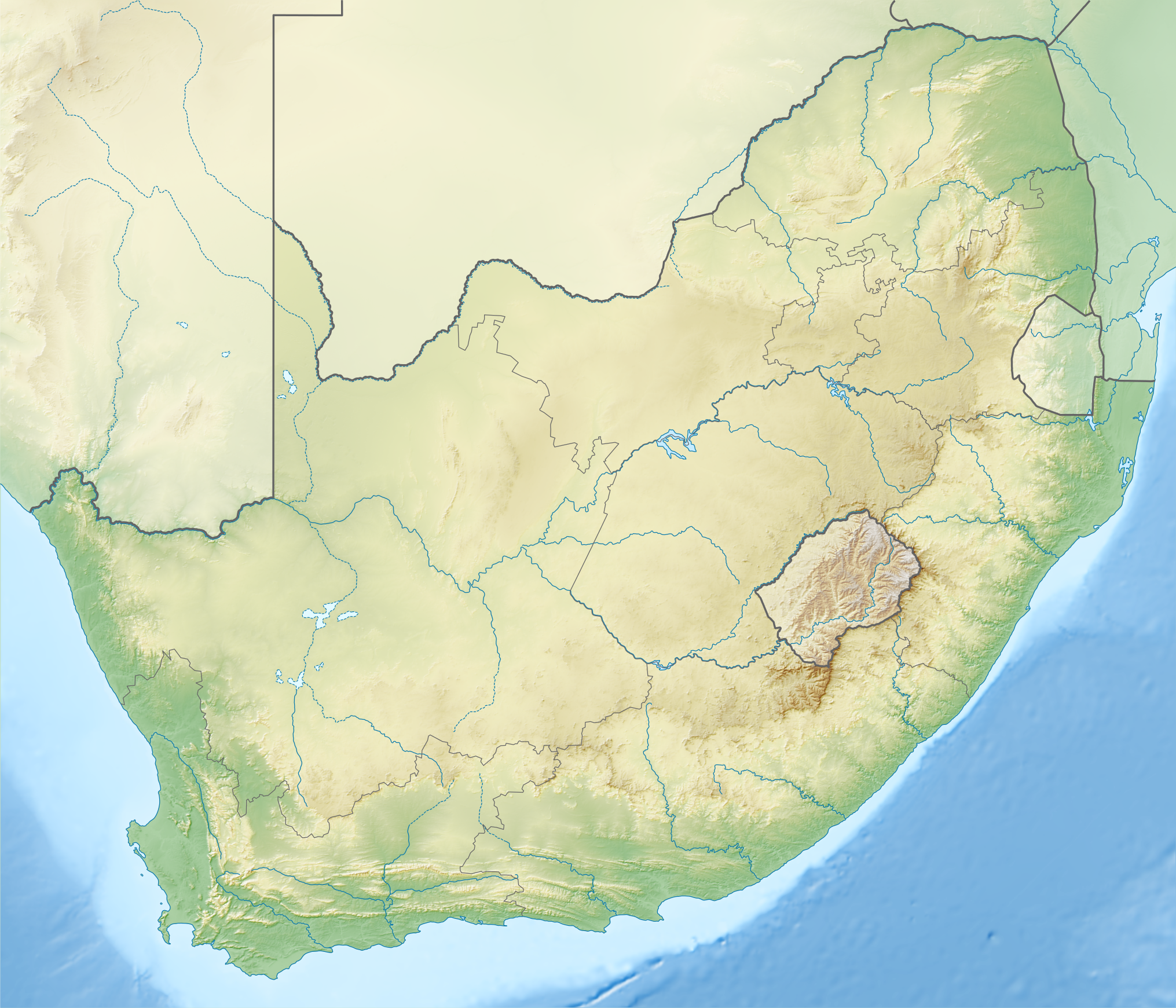
| Description | English: Relief location map of South Africa Equirectangular projection, N/S stretching 110 %. Geographic limits of the map:
|
| Date | |
| Source |
|
| Author |
|
| Other versions | Derivative works of this file: Shaka's Empire map.svg |
Licensing
This file is licensed under the Creative Commons Attribution-Share Alike 3.0 Unported license.
- You are free:
- to share – to copy, distribute and transmit the work
- to remix – to adapt the work
- Under the following conditions:
- attribution – You must give appropriate credit, provide a link to the license, and indicate if changes were made. You may do so in any reasonable manner, but not in any way that suggests the licensor endorses you or your use.
- share alike – If you remix, transform, or build upon the material, you must distribute your contributions under the same or compatible license as the original.
File history
Click on a date/time to view the file as it appeared at that time.
| Date/Time | Thumbnail | Dimensions | User | Comment | |
|---|---|---|---|---|---|
| current | 19:59, 4 January 2013 | | 2,031 × 1,741 (5.23 MB) | Htonl | == {{int:filedesc}} == {{Information |Description ={{en|1=Relief location map of South Africa Equirectangular projection, N/S stretching 110 %. Geographic limits of the map: * N: 21.8° S * S: 35.2° S * W: 16.0° E * E: 33.2° ... |
File usage
There are no pages that use this file.
Global file usage
The following other wikis use this file:
- Usage on ab.wikipedia.org
- Usage on af.wikipedia.org
- Koeberg
- Medupi-kragstasie
- Sodwanabaai
- Haarlem
- Soweto Derby
- Suid-Afrikaanse Nasionale Parke
- Maputaland
- Palmiet-pompopgaarskema
- Majuba-kragstasie
- Kusile-kragstasie
- Kendal-kragstasie
- Dassiesklip (windplaas)
- KaXu Solar One
- Matimba-kragstasie
- Grensgrot
- Hendrina-kragstasie
- Camden-kragstasie
- Matla-kragstasie
- Usage on als.wikipedia.org
- Usage on ast.wikipedia.org
- Usage on azb.wikipedia.org
- Usage on az.wikipedia.org
- Usage on ban.wikipedia.org
- Taman Nasional Dataran Tegeh Golden Gate
- Taman Nasional Gajah Addo
- Taman Nasional Grobogan Augrabies
- Taman Nasional Bontebok
- Taman Nasional Camdeboo
- Taman Nasional Garden Route
- Taman Nasional Karoo
- Taman Nasional Mapungubwe
- Taman Nasional Marakele
- Taman Nasional Meerkat
- Taman Nasional Mocala
- Taman Nasional Gunung Zébra
- Taman Nasional Namaqua
- Taman Nasional Tankwa Karoo
- Usage on ba.wikipedia.org
- Usage on bg.wikipedia.org
View more global usage of this file.
Metadata
Explore the world

United states
New York

Japan
Tokyo

Singapore
Singapore
