
 Français
 Italiano
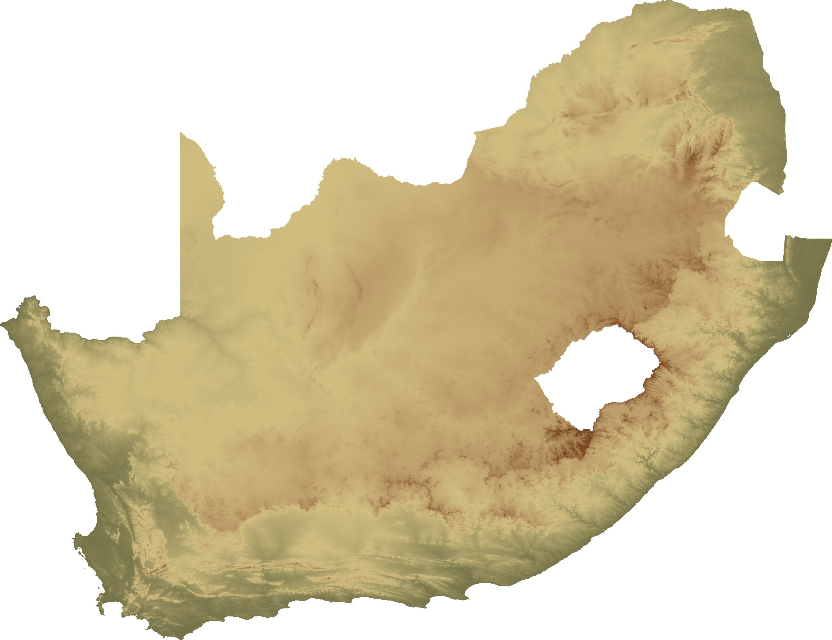
Size of this preview: 780 × 600 pixels. Other resolutions: 312 × 240 pixels | 624 × 480 pixels | 999 × 768 pixels | 1,280 × 984 pixels | 2,560 × 1,968 pixels | 2,717 × 2,089 pixels.
Original file (2,717 × 2,089 pixels, file size: 3.59 MB, MIME type: image/png)
This is a file from the Wikimedia Commons and may be used by other projects. Information from its description page there is shown below. Commons is a freely licensed media file repository. |
| Description | Topographical map of South Africa, island version |
| Date | |
| Source | Own work |
| Author | SFC9394 |
| Permission (Reusing this file) | Topo data from SRTM, NASA PD |
| Other versions | Image:South Africa topo continent.png |
This file is licensed under the Creative Commons Attribution 2.5 Generic license.
- You are free:
- to share – to copy, distribute and transmit the work
- to remix – to adapt the work
- Under the following conditions:
- attribution – You must give appropriate credit, provide a link to the license, and indicate if changes were made. You may do so in any reasonable manner, but not in any way that suggests the licensor endorses you or your use.
| Annotations | This image is annotated: View the annotations at Commons |
File history
Click on a date/time to view the file as it appeared at that time.
| Date/Time | Thumbnail | Dimensions | User | Comment | |
|---|---|---|---|---|---|
| current | 19:54, 2 February 2008 | | 2,717 × 2,089 (3.59 MB) | SFC9394 | {{Information |Description= Topographical map of South Africa, island version |Source=self-made |Date=02-02-08 |Author= SFC9394 |Permission=Topo data from SRTM, NASA PD |other_versions=South Africa topo continent.png }} {{CC-BY-2.5}} |
File usage
There are no pages that use this file.
Global file usage
The following other wikis use this file:
- Usage on zh.wikipedia.org
Explore the world

United states
New York

Japan
Tokyo

Singapore
Singapore
