
 Français
 Italiano
Size of this PNG preview of this SVG file: 512 × 562 pixels. Other resolutions: 219 × 240 pixels | 437 × 480 pixels | 700 × 768 pixels | 933 × 1,024 pixels | 1,866 × 2,048 pixels.
Original file (SVG file, nominally 512 × 562 pixels, file size: 87 KB)
This is a file from the Wikimedia Commons and may be used by other projects. Information from its description page there is shown below. Commons is a freely licensed media file repository. |
Summary
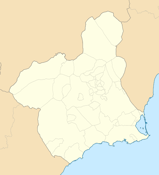
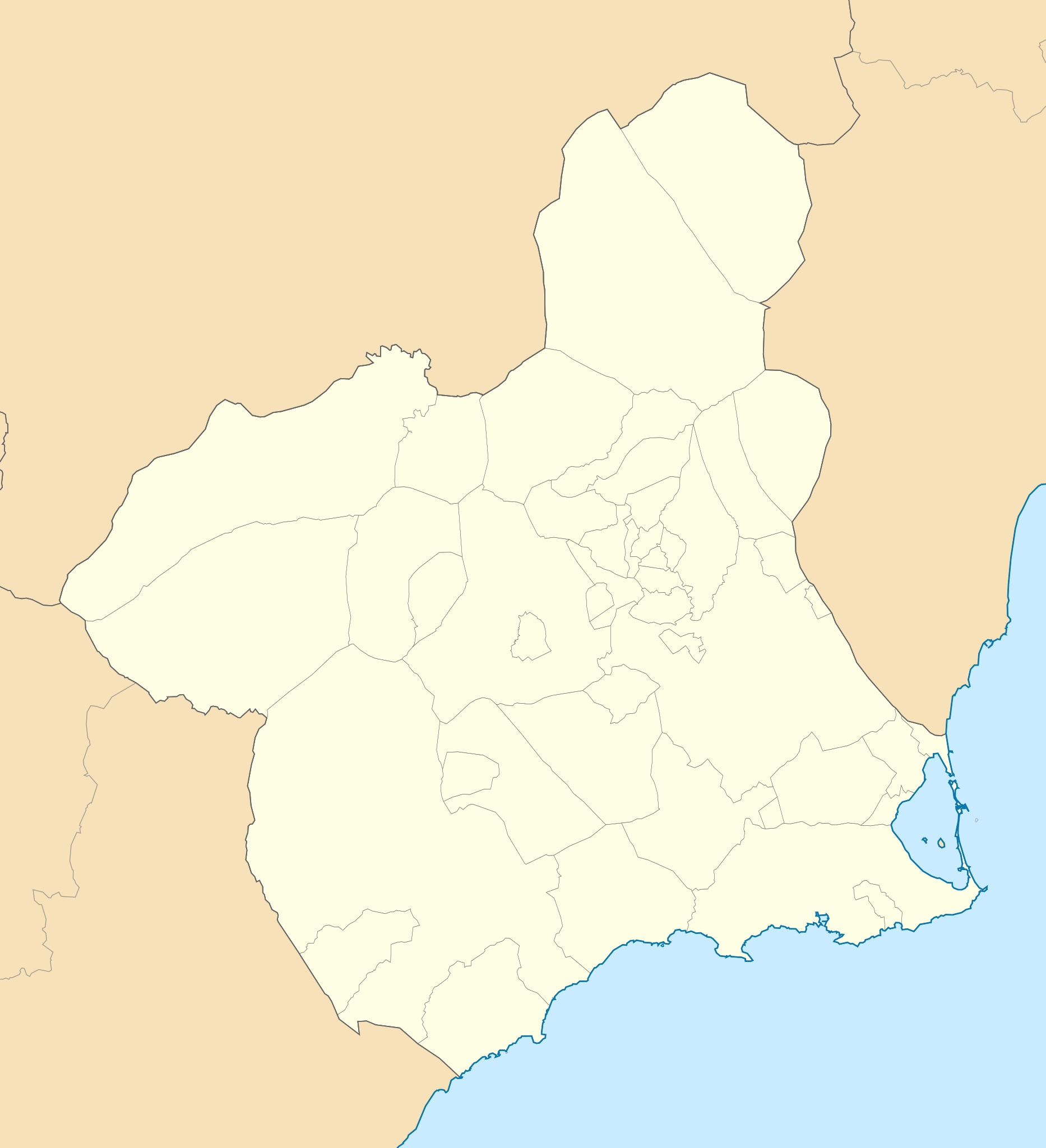
| Description | English: Location map of Murcia Equirectangular projection, N/S stretching 130 %. Geographic limits of the map:
Español: Mapa de localización de Murcia Proyección equirrectangular, N/S estirada 130 %. Límites geográficos del mapa:
| |
| Date | ||
| Source | Own work based on: EspañaLoc.svg by HansenBCN and Spain location map.svg by NordNordWest | |
| Author | Miguillen | |
| SVG development | This locator map was created with Inkscape.
|
Licensing
This file is licensed under the Creative Commons Attribution-Share Alike 1.0 Generic license.
- You are free:
- to share – to copy, distribute and transmit the work
- to remix – to adapt the work
- Under the following conditions:
- attribution – You must give appropriate credit, provide a link to the license, and indicate if changes were made. You may do so in any reasonable manner, but not in any way that suggests the licensor endorses you or your use.
- share alike – If you alter, transform, or build upon this work, you must distribute the resulting work under the same license as the original.
File history
Click on a date/time to view the file as it appeared at that time.
| Date/Time | Thumbnail | Dimensions | User | Comment | |
|---|---|---|---|---|---|
| current | 18:35, 22 May 2010 | | 512 × 562 (87 KB) | Miguillen | == {{int:filedesc}} == {{Information |Description= {{en|Location map of Murcia}} Equirectangular projection, N/S stretching 130 %. Geographic limits of the map: * N: 38.854007° N * S: 37.277787° N * W: 2.449817° O * E: 0.582645° O |
File usage
There are no pages that use this file.
Global file usage
The following other wikis use this file:
- Usage on ar.wikipedia.org
- Usage on ast.wikipedia.org
- Usage on azb.wikipedia.org
- Usage on ba.wikipedia.org
- Usage on bg.wikipedia.org
- Usage on ceb.wikipedia.org
- Usage on da.wikipedia.org
- Lorca
- Murcia
- Cartagena (Murcia)
- Skabelon:Kortpositioner Murcia
- Totana
- Aledo
- Alhama de Murcia
- Librilla
- Mazarrón
- Yecla
- Jumilla
- Abarán
- Blanca (Murcia)
- Cieza
- Abanilla
- Fortuna (Murcia)
- Archena
- Ojós
- Ricote
- Ulea
- Villanueva del Río Segura
- Molina de Segura
- Las Torres de Cotillas
- Ceutí
- Alguazas
- Lorquí
- Caravaca de la Cruz
- Cehegín
- Bullas
- Calasparra
View more global usage of this file.
Explore the world

United states
New York

Japan
Tokyo

Singapore
Singapore
