
 Français
 Italiano
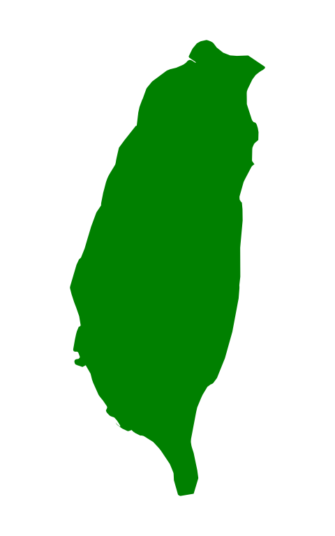
Size of this PNG preview of this SVG file: 30 × 48 pixels. Other resolutions: 150 × 240 pixels | 300 × 480 pixels | 480 × 768 pixels | 640 × 1,024 pixels | 1,280 × 2,048 pixels.
Original file (SVG file, nominally 30 × 48 pixels, file size: 6 KB)
This is a file from the Wikimedia Commons and may be used by other projects. Information from its description page there is shown below. Commons is a freely licensed media file repository. |
| Description | English: An icon for en:Template:Taiwan-geo-stub, adapted from Image:Map of PRC.svg (will do until a more detailed SVG image of Taiwan becomes available). | ||||||||
| Date | |||||||||
| Source | Image:Map of PRC.svg | ||||||||
| Author | User:PhiLiP, extracted by User:Stannered | ||||||||
| Permission (Reusing this file) | PhiLiP, the copyright holder of this work, hereby publishes it under the following license:
| ||||||||
| Other versions | en:Image:Taiwan-icon.png, en:Image:Taiwan-icon.PNG |

File history
Click on a date/time to view the file as it appeared at that time.
| Date/Time | Thumbnail | Dimensions | User | Comment | |
|---|---|---|---|---|---|
| current | 00:12, 16 December 2007 | 30 × 48 (6 KB) | Stannered | {{Information |Description=An icon for en:Template:Taiwan-geo-stub, adapted from Image:Map of PRC.svg (will do until a more detailed SVG image of Taiwan becomes available). |Source=Image:Map of PRC.svg |Date=2007-12-16 |Author=[[User:PhiLiP |
File usage
There are no pages that use this file.
Global file usage
The following other wikis use this file:
- Usage on en.wikipedia.org
- Chiang Kai-shek
- Democratic Progressive Party
- Kuomintang
- Taiwan independence movement
- Taiwanese indigenous peoples
- Chen Shui-bian
- Lee Teng-hui
- New Party (Taiwan)
- Taiwanization
- Pan-Green Coalition
- Pan-Blue Coalition
- Taiwan Solidarity Union
- Taiwan Independence Party
- Ma Ying-jeou
- Proposed flags of Taiwan
- Republic of Taiwan
- List of political parties in Taiwan
- Kaohsiung County
- Wikipedia:WikiProject Taiwan/Taiwanese counties task force
- Eight Immortals Mountain
- Muzha District
- Jingmei District
- Taipei Basin
- Shiding District
- Wufeng District
- Daya District
- Guanmiao District
- Yujing District
- Gukeng
- Tongluo
- Fuxing, Changhua
- Pinglin District
- Miaoli
- Kaohsiung metropolitan area
- Taichung–Changhua metropolitan area
- Taoyuan–Zhongli metropolitan area
- Tainan metropolitan area
- Hsinchu metropolitan area
- Chiayi metropolitan area
- Tucheng District
- Luzhou District, New Taipei
- Taiping District, Taichung
- Pingzhen District
- Bade District
- World League for Freedom and Democracy
- Xinying District
- Shuangxi District
- Wugu District
- Yuanshan, Yilan
- Dongshan, Yilan
View more global usage of this file.
Explore the world

United states
New York

Japan
Tokyo

Singapore
Singapore
