
 Français
 Italiano
Size of this PNG preview of this SVG file: 402 × 599 pixels. Other resolutions: 161 × 240 pixels | 322 × 480 pixels | 515 × 768 pixels | 687 × 1,024 pixels | 1,374 × 2,048 pixels | 1,052 × 1,568 pixels.
Original file (SVG file, nominally 1,052 × 1,568 pixels, file size: 4.62 MB)
This is a file from the Wikimedia Commons and may be used by other projects. Information from its description page there is shown below. Commons is a freely licensed media file repository. |
Summary
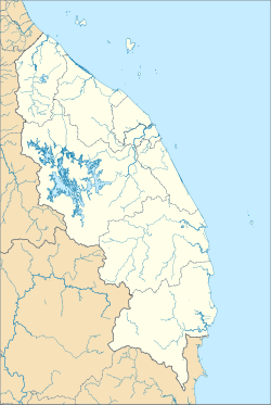
| Description | English: A map showing districts of Terengganu (blank version) |
| Date | |
| Source | Own work |
| Author | Zh9567 |
Licensing
I, the copyright holder of this work, hereby publish it under the following license:
This file is licensed under the Creative Commons Attribution-Share Alike 4.0 International license.
- You are free:
- to share – to copy, distribute and transmit the work
- to remix – to adapt the work
- Under the following conditions:
- attribution – You must give appropriate credit, provide a link to the license, and indicate if changes were made. You may do so in any reasonable manner, but not in any way that suggests the licensor endorses you or your use.
- share alike – If you remix, transform, or build upon the material, you must distribute your contributions under the same or compatible license as the original.
File history
Click on a date/time to view the file as it appeared at that time.
| Date/Time | Thumbnail | Dimensions | User | Comment | |
|---|---|---|---|---|---|
| current | 06:09, 22 August 2021 | | 1,052 × 1,568 (4.62 MB) | Zh9567 | Uploaded own work with UploadWizard |
File usage
There are no pages that use this file.
Global file usage
The following other wikis use this file:
- Usage on en.wikipedia.org
- Kuala Terengganu
- Kenyir Lake
- Kuala Besut
- Rantau Abang
- Kuala Dungun
- Abidin Mosque
- Kerteh
- Chukai
- Kuala Berang
- Jerteh (town)
- Kemasik
- Kampung Raja
- Kerteh Airport
- Ajil (town)
- Wikipedia:WikiProject Malaysia/Cartography
- Cemerung Falls
- Alam Serada
- Bukit Puteri
- Setiu Wetlands
- Module:Location map/data/Malaysia Terengganu
- Module:Location map/data/Malaysia Terengganu/doc
- Wikipedia:Meetup/Terengganu
- Usage on fa.wikipedia.org
- Usage on fr.wikipedia.org
- Usage on id.wikipedia.org
- Usage on it.wikipedia.org
- Usage on ms.wikipedia.org
- Lapangan Terbang Kerteh
- Peta
- Kuala Terengganu
- Lapangan Terbang Sultan Mahmud
- Lapangan Terbang Redang
- Pangkalan TUDM Gong Kedak
- Daerah di Malaysia
- Modul:Peta lokasi/data/Malaysia Terengganu
- Modul:Peta lokasi/data/Malaysia Terengganu/doc
- Identiti Negeri Terengganu
- Sungai Teladas
- Hutan Simpan Hulu Terengganu (Tambahan)
- Usage on si.wikipedia.org
- Usage on zh.wikipedia.org
Metadata
Explore the world

United states
New York

Japan
Tokyo

Singapore
Singapore
