
 Français
 Italiano
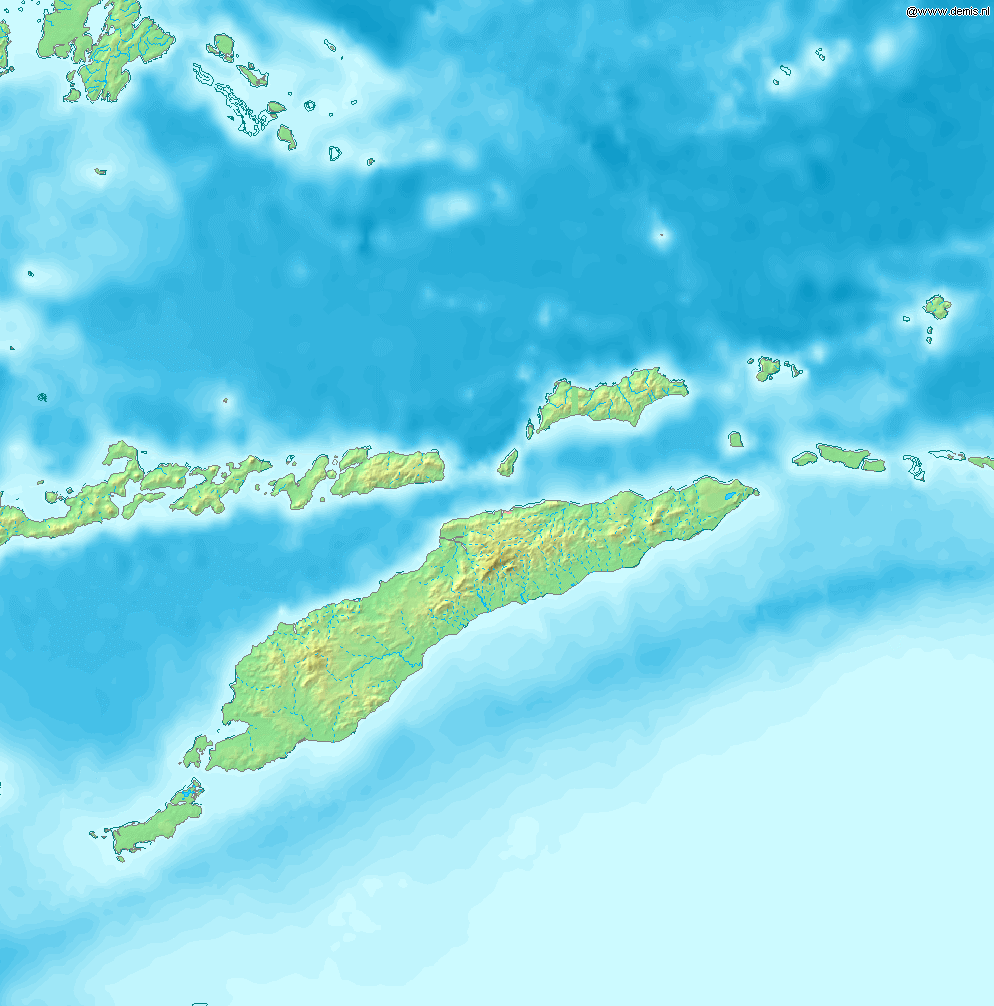
Size of this preview: 592 × 599 pixels. Other resolutions: 237 × 240 pixels | 474 × 480 pixels | 994 × 1,006 pixels.
Original file (994 × 1,006 pixels, file size: 208 KB, MIME type: image/png)
This is a file from the Wikimedia Commons and may be used by other projects. Information from its description page there is shown below. Commons is a freely licensed media file repository. |
Map of Timor
Bounding box West 122°, South -12°, East 129°, North -5°. Center at 8°30′00″S 125°30′00″E / 8.50000°S 125.50000°E.
This image is in the public domain because it came from the site https://www.demis.nl/products/web-map-server/examples/ and was released by the copyright holder. Permission is granted to copy, distribute and/or modify this map since it is based on free of copyright images from: www.demis.nl. See also approval email on de.wp and its clarification.
|
| This work has been released into the public domain by its copyright holder, www.demis.nl. This applies worldwide. In some countries this may not be legally possible; if so: www.demis.nl grants anyone the right to use this work for any purpose, without any conditions, unless such conditions are required by law.
|
File history
Click on a date/time to view the file as it appeared at that time.
| Date/Time | Thumbnail | Dimensions | User | Comment | |
|---|---|---|---|---|---|
| current | 09:53, 12 December 2006 | | 994 × 1,006 (208 KB) | Mats Halldin~commonswiki | Map of Timor Bounding box West 122°, South -12°, East 129°, North -5°. Center at {{coor d|8.50000|S|125.50000|E|scale:4200000}}. {{demis-pd}} category:maps of East Timor |
File usage
There are no pages that use this file.
Global file usage
The following other wikis use this file:
- Usage on ban.wikipedia.org
- Usage on bn.wikipedia.org
- Usage on cs.wikipedia.org
- Usage on cy.wikipedia.org
- Usage on de.wikipedia.org
- Usage on de.wikivoyage.org
- Usage on en.wikipedia.org
- Timor
- Kupang
- Presidente Nicolau Lobato International Airport
- Atambua
- El Tari Airport
- Belu Regency
- Baucau Airport
- Oecusse Airport
- Noel Besi River
- Module:Location map/data/Timor/doc
- Halilulik
- Kefamenanu
- Kupang Regency
- South Central Timor Regency
- North Central Timor Regency
- Menipo
- Mina River (Indonesia)
- Pono River
- Soe, Timor
- Suai Airport
- Malaka Regency
- List of rivers of West Timor
- Module:Location map/data/Timor
- User:Ty654/List of earthquakes from 1975-1979 exceeding magnitude 6+
- User:Ty654/List of earthquakes from 1995-1999 exceeding magnitude 6+
- Atapupu
- Betun, Malaka
- Raifatus, East Nusa Tenggara
- Batek Island
- Fatuleu
- Usage on eo.wikipedia.org
- Usage on es.wikipedia.org
- Usage on fr.wikipedia.org
- Usage on ha.wikipedia.org
- Usage on ka.wikipedia.org
- Usage on la.wikipedia.org
- Usage on nl.wikipedia.org
- Usage on no.wikipedia.org
- Usage on os.wikipedia.org
View more global usage of this file.
Metadata
Explore the world

United states
New York

Japan
Tokyo

Singapore
Singapore
