
 Français
 Italiano
Size of this PNG preview of this SVG file: 800 × 598 pixels. Other resolutions: 320 × 239 pixels | 640 × 478 pixels | 1,024 × 765 pixels | 1,280 × 956 pixels | 2,560 × 1,912 pixels | 1,553 × 1,160 pixels.
Original file (SVG file, nominally 1,553 × 1,160 pixels, file size: 1.24 MB)
This is a file from the Wikimedia Commons and may be used by other projects. Information from its description page there is shown below. Commons is a freely licensed media file repository. |
Summary
| Description | |
| Date | |
| Source | Own work |
| Author | Alexrk2 |
| Other versions | Derivative works of this file: Starbucks footprint.png
|


| Open this image as an overlay in Google Earth (Google Maps, Bing) | (Help|Source) |
Licensing
I, the copyright holder of this work, hereby publish it under the following licenses:
 | Permission is granted to copy, distribute and/or modify this document under the terms of the GNU Free Documentation License, Version 1.2 or any later version published by the Free Software Foundation; with no Invariant Sections, no Front-Cover Texts, and no Back-Cover Texts. A copy of the license is included in the section entitled GNU Free Documentation License. |
This file is licensed under the Creative Commons Attribution 3.0 Unported license.
- You are free:
- to share – to copy, distribute and transmit the work
- to remix – to adapt the work
- Under the following conditions:
- attribution – You must give appropriate credit, provide a link to the license, and indicate if changes were made. You may do so in any reasonable manner, but not in any way that suggests the licensor endorses you or your use.
You may select the license of your choice.
| Annotations | This image is annotated: View the annotations at Commons |
File history
Click on a date/time to view the file as it appeared at that time.
| Date/Time | Thumbnail | Dimensions | User | Comment | |
|---|---|---|---|---|---|
| current | 19:13, 3 October 2009 | | 1,553 × 1,160 (1.24 MB) | Alexrk2 | Linien gesäubert |
| 19:03, 3 October 2009 |  | 1,553 × 1,160 (1.25 MB) | Alexrk2 | Westlicher Teil korrigiert | |
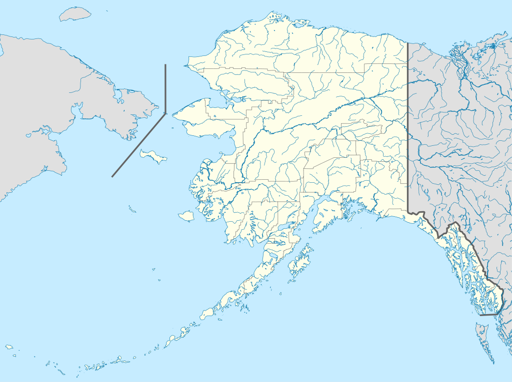
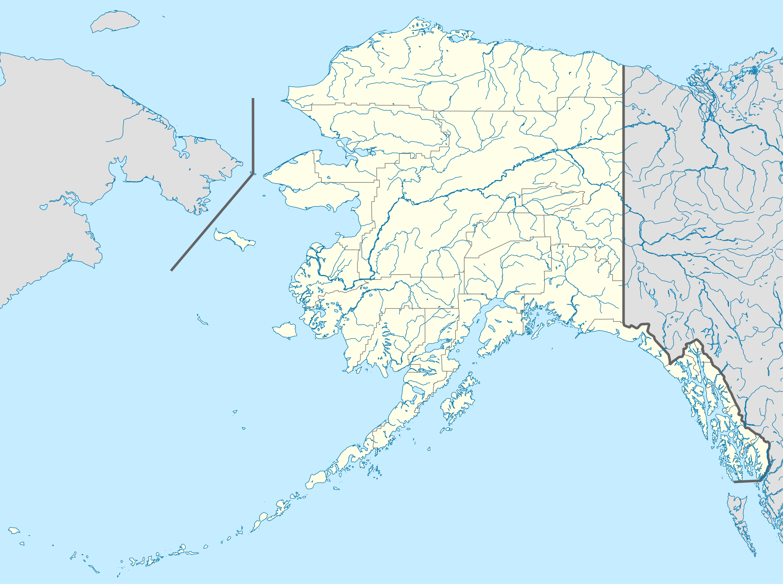
| 18:35, 3 October 2009 |  | 1,553 × 1,160 (1.24 MB) | Alexrk2 | == Beschreibung == {{Information |Description= {{de|Positionskarte von Alaska, USA}} Quadratische Plattkarte, N-S-Streckung 210.0 %. Geographische Begrenzung der Karte: * N: 72.0° N * S: 51.0° N * W: 188.0° W * O: 129.0° W { |
File usage
There are no pages that use this file.
Global file usage
The following other wikis use this file:
- Usage on af.wikipedia.org
- Usage on als.wikipedia.org
- Usage on an.wikipedia.org
- Usage on ar.wikipedia.org
- Usage on ast.wikipedia.org
- Alaska
- Baranof
- Juneau (Alaska)
- Anchorage (Alaska)
- Fairbanks (Alaska)
- Ninilchik (Alaska)
- Islles Aleutianes
- Kodiak (Alaska)
- Golfu d'Alaska
- Monte Denali
- Parque y Reserva Nacionales de les Puertes del Árticu
- Cordal d'Alaska
- Módulu:Mapa de llocalización/datos/Alaska
- Módulu:Mapa de llocalización/datos/Alaska/usu
- Aeropuertu Internacional Ted Stevens Anchorage
- Base de la Fuercia Aérea Eielson
- Islla Semisopochnoi
- Archipiélagu Alexander
- St. George (Alaska)
- Islles Pribilof
- St. Paul (Alaska)
- Islla Sitkinak
- Islla Tugidak
- Tsunami de badea Lituya
- Usage on azb.wikipedia.org
View more global usage of this file.
Metadata
Explore the world

United states
New York

Japan
Tokyo

Singapore
Singapore
